Milford in Oakland County, Michigan — The American Midwest (Great Lakes)
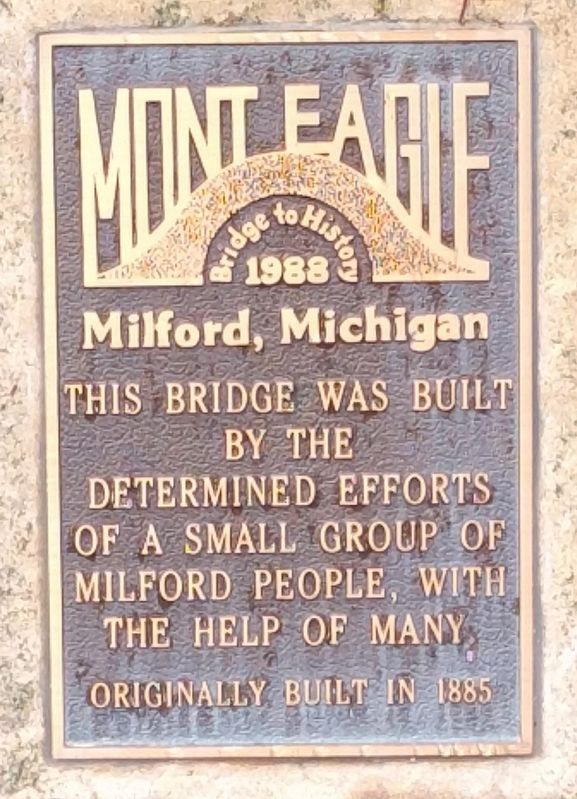
Mont Eagle
Bridge to History
| — | 1988 | — |
Photographed by Joel Seewald, October 20, 2018
1. Mont Eagle Marker
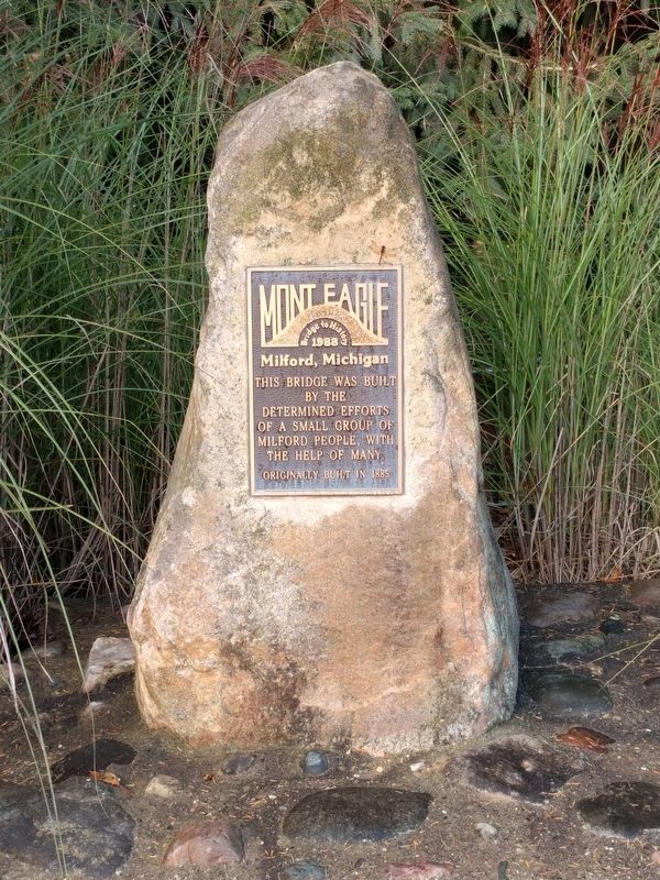
This bridge was built by the determined efforts of a small group of Milford people, with the help of many
Originally built in 1885
Topics. This historical marker is listed in this topic list: Bridges & Viaducts. A significant historical year for this entry is 1885.
Location. 42° 34.93′ N, 83° 35.414′ W. Marker is in Milford, Michigan, in Oakland County. It is on Mont Eagle Street 0.2 miles south of East Huron Street, on the right when traveling south. Marker is at the north entrance to Oak Grove Cemetery. Touch for map. Marker is in this post office area: Milford MI 48381, United States of America. Touch for directions.

Regionally, this marker is in Southeast Michigan and in Greater Detroit. It is also in the American Midwest. Globally, it is in North America, the Western Hemisphere, the Western World, and the Anglosphere. Historically, it finds itself in what was once the Northwest Territory.
Other nearby markers. At least 8 other markers are within walking distance of this marker: Oak Grove Cemetery (about 300 feet away, measured in a direct line); Civil War Memorial (about 300 feet away); Wells Brothers Foundry
this page online
Photographed by Joel Seewald, October 20, 2018
2. Mont Eagle Marker
Photographed by Joel Seewald, October 20, 2018
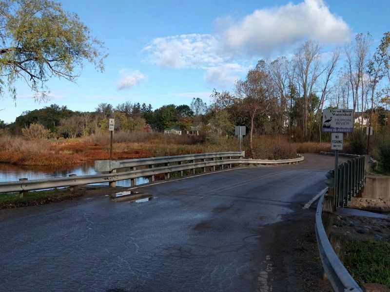
3. Mont Eagle Bridge
Marker is just out of the image on the left — near the end of the guard rail.
Credits. This page was last revised on February 12, 2023. It was originally submitted on October 25, 2018, by Joel Seewald of Madison Heights, Michigan. This page has been viewed 500 times since then and 40 times this year. Photos: 1, 2, 3. submitted on October 25, 2018, by Joel Seewald of Madison Heights, Michigan.
