Yoakum in Lavaca County, Texas — The American South (West South Central)
Yoakum
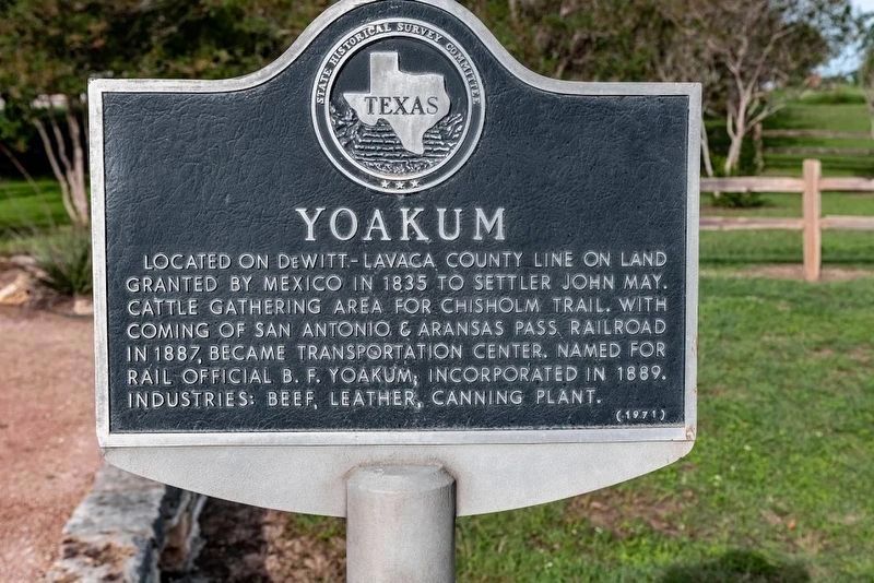
Photographed by Joe Lenihan, October 20, 2018
1. Yoakum Marker
Erected 1971 by Texas Historical Commission. (Marker Number 5926.)
Topics. This historical marker is listed in these topic lists: Industry & Commerce • Settlements & Settlers.
Location. 29° 17.952′ N, 97° 9.457′ W. Marker is in Yoakum, Texas, in Lavaca County. It is at the intersection of U.S. 77 Alt and Ellen May Road, on the right when traveling north on U.S. 77 Alt. Touch for map. Marker is in this post office area: Yoakum TX 77995, United States of America. Touch for directions.

Regionally, this marker is in the American South and on the Gulf Coast. Globally, it is in North America, a Gulf of Mexico state, the Western Hemisphere, the Western World, and the Anglosphere. Historically, it finds itself in what was once New Spain,
this page online
Other nearby markers. At least 8 other markers are within walking distance of this marker: Chisholm Trail Memorial Park (a few steps from this marker); The Trail Drivers of Southwest Texas (a few steps from this marker); Hochheim Prairie Farm Mutual Insurance Association (approx. 0.2 miles away); Holy Cross Lutheran Church (approx. 0.3 miles away); Dempsey Benton Cain House (approx. 0.6 miles away); Afghanistan War Fallen (approx. 0.7 miles away); Viet Nam Fallen (approx. 0.7 miles away); Korea Fallen (approx. 0.7 miles away). Touch for a list and map of all markers in Yoakum.
Also see . . .
1. Welcome to Yoakum, Texas. (Submitted on October 26, 2018, by Michael Herrick of Southbury, Connecticut.)
2. Yoakum, Texas on Wikipedia. (Submitted on October 26, 2018, by Michael Herrick of Southbury, Connecticut.)
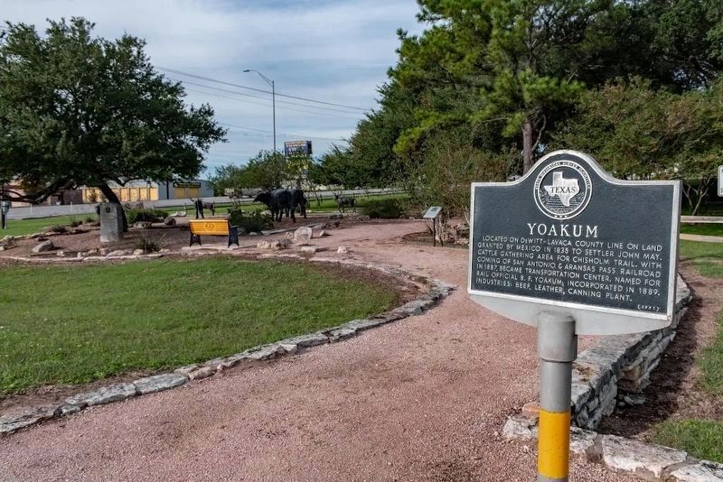
Photographed by Joe Lenihan, October 20, 2018
2. Yoakum Marker
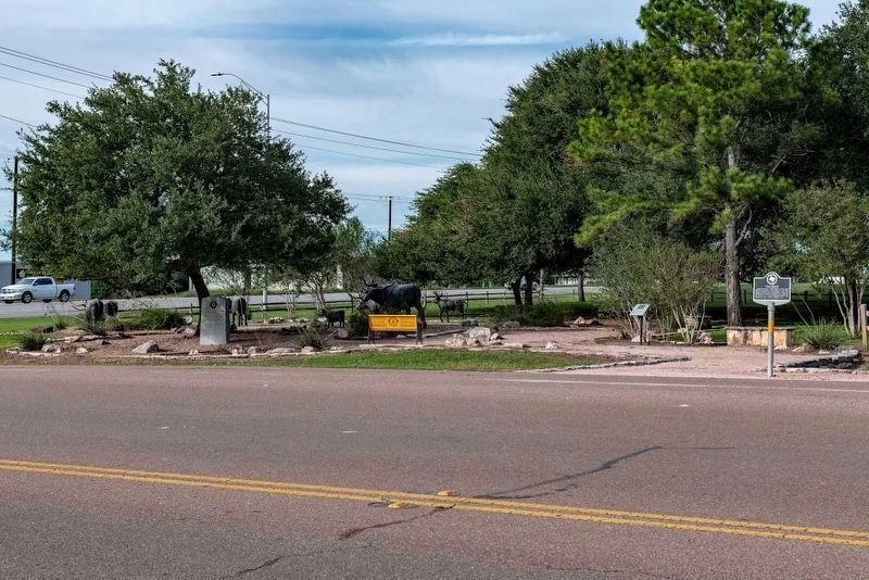
Photographed by Joe Lenihan, October 20, 2018
3. Yoakum Marker
Credits. This page was last revised on April 25, 2019. It was originally submitted on October 26, 2018, by Michael Herrick of Southbury, Connecticut. This page has been viewed 1,116 times since then and 78 times this year. Photos: 1, 2, 3. submitted on October 26, 2018, by Michael Herrick of Southbury, Connecticut.
