Avon in Livingston County, New York — The American Northeast (Mid-Atlantic)
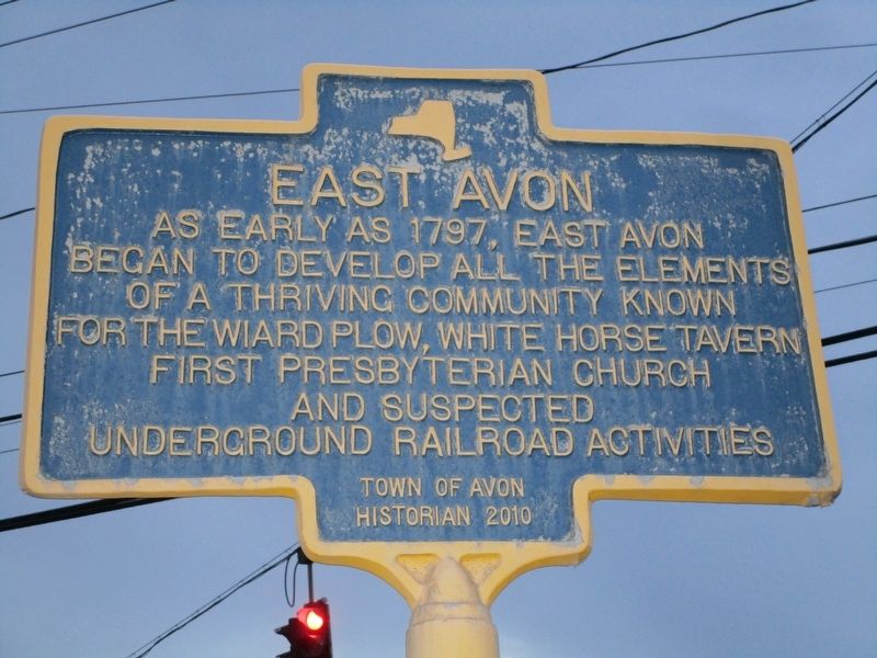
East Avon
As early as 1797, East Avon
began to develop all the elements
of a thriving community known
for the Wiard Plow, White Horse Tavern,
First Presbyterian Church
and suspected
Underground Railroad activites.
Erected 2010 by Town of Avon Historian.
Topics. This historical marker is listed in this topic list: Settlements & Settlers. A significant historical year for this entry is 1797.
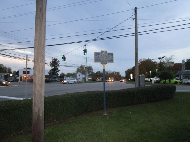
Location. 42° 54.559′ N, 77° 42.369′ W. Marker is in Avon, New York, in Livingston County. Marker is at the intersection of Lakeville Road (New York State Route 15) and East Avon - Lima Road (U.S. 20), on the left when traveling north on Lakeville Road. The First Presbyterian Church is behind the marker. Touch for map. Marker is at or near this postal address: 5605 East Avon - Lima Road, Avon NY 14414, United States of America. Touch for directions.
Other nearby markers. At least 8 other markers are within 3 miles of this marker, measured as the crow flies. Protected Farmland (approx. one mile away); John Hubbard Forsyth (approx. 1.7 miles away); Albert C. Burke Jr. (approx. 2 miles away); Avon Civil War Monument (approx. 2 miles away); North Avon (approx. 2 miles away); Ganson's Mill (approx. 2.3 miles away); Tuscaroras (approx. 2.6 miles away); Berry's Tavern (approx. 2.6 miles away). Touch for a list and map of all markers in Avon.
Credits. This page was last revised on November 4, 2018. It was originally submitted on October 26, 2018, by Anton Schwarzmueller of Wilson, New York. This page has been viewed 239 times since then and 16 times this year. Photos: 1, 2. submitted on October 26, 2018, by Anton Schwarzmueller of Wilson, New York.

