Bristol in Ontario County, New York — The American Northeast (Mid-Atlantic)
Burning Springs
Photographed by Anton Schwarzmueller, October 26, 2018
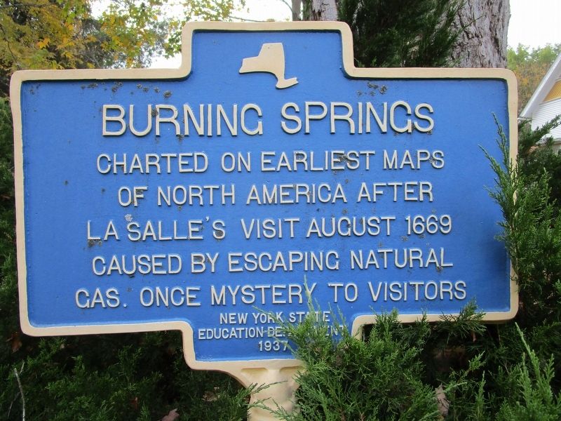
1. Burning Springs Marker
Charted on earliest maps
of North America after
LaSalle's visit August 1669.
Caused by escaping natural
gas. Once a mystery to visitors.
Erected 1937 by New York State Department of Education.
Topics. This historical marker is listed in this topic list: Exploration. A significant historical month for this entry is August 1669.
Location. 42° 49.006′ N, 77° 24.358′ W. Marker is in Bristol, New York, in Ontario County. It is on Case Road ¼ mile south of Lee Road, on the right when traveling south. Touch for map. Marker is at or near this postal address: 4348 Case Road, Canandaigua NY 14424, United States of America. Touch for directions.

Regionally, this marker is in Upstate New York, specifically in Western New York, in the Finger Lakes, and in the Rochester Metropolitan Area. It is also in the American Northeast and in the Mid-Atlantic. Globally, it is in North America, the Western Hemisphere, the Western World, and the Anglosphere. Historically, it finds itself in what was once the Haudenosaunee (Iroquois) Confederacy, New Netherland, and one of the original Thirteen Colonies.
Other nearby markers. At
this page online
Photographed by Anton Schwarzmueller, October 26, 2018
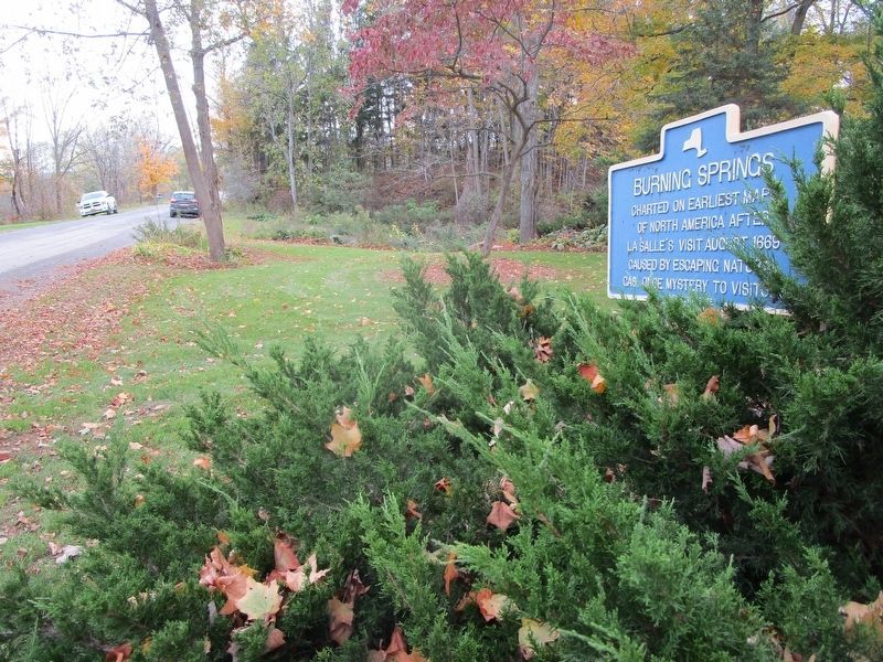
2. Burning Springs Marker
Southward
Photographed by Anton Schwarzmueller, October 26, 2018
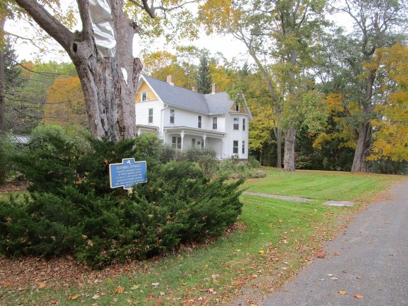
3. Burning Springs Marker
Northward
Credits. This page was last revised on October 27, 2018. It was originally submitted on October 27, 2018, by Anton Schwarzmueller of Wilson, New York. This page has been viewed 1,033 times since then and 91 times this year. Photos: 1, 2, 3. submitted on October 27, 2018, by Anton Schwarzmueller of Wilson, New York.
