Jarrell in Williamson County, Texas — The American South (West South Central)
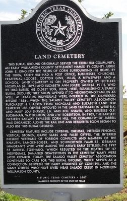
Land Cemetery
This burial ground originally served the Corn Hill community, an early Williamson County settlement named by county judge John E. King for the fields of corn surrounding his home. By the 1880s, Corn Hill had a post office, businesses, churches, fraternal lodges, cotton gins, mills, a newspaper and a school. Land cemetery is on property owned by settlers Nicholas (d. 1896) and Elizabeth Ann. (Giles) Land (d. 1911), who in 1863 buried his oldest son, John, here, establishing a family burial ground; they soon opened it to neighboring families as well. At least 25 individuals were interred in the graveyard before 1886, when the Salado Valley cemetery association purchased 4.1 acres from Nicholas and Elizabeth Land for cemetery use. Others involved in the Land transaction were R.K. and Mary Lou Shaver, J.B. and Bell Shaver, and trustees G.B. Buchanan, W.P. Routon, and J.W. Robertson. In 1909, the Bartlett Western railway bypassed corn hill. The community of Jarrell was organized along the rail line and residents soon began to also use this burial ground.
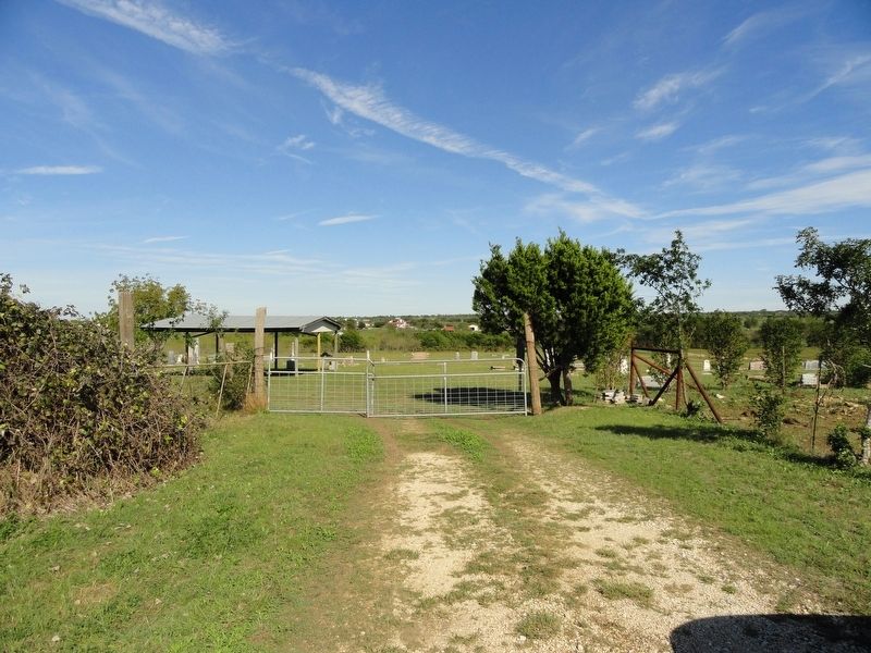
Cemetery features include curbing, obelisks, interior fencing, vertical stones, grave slabs and false crypts. The interred include veterans of foreign conflicts and members of the Knauth, Langenegger, and Schwertner families, German immigrants who were among the area’s early settlers. The 1997 F5 Jarrell tornado, which resulted in the deaths of 27 individuals, damaged gravestones in the cemetery; many were later repaired. Today, the Salado Valley cemetery association continues to care for this burial ground, which serves as a connection between the early residents of corn hill and the many others who have lived near Salado creek in northern Williamson County.
Erected 2010 by Texas Historical Commission. (Marker Number 16341.)
Topics. This historical marker is listed in these topic lists: Cemeteries & Burial Sites • Settlements & Settlers. A significant historical year for this entry is 1863.
Location. 30° 49.708′ N, 97° 37.833′ W. Marker is in Jarrell, Texas, in Williamson County. Marker can be reached from County Road 305 when traveling east. Touch for map. Marker is in this post office area: Jarrell TX 76537, United States of America. Touch for directions.
Other nearby markers. At least 8 other markers are within 8 miles of this marker, measured as the crow flies. Jarrell (approx. 0.8 miles away); Corn Hill Community (approx. 1.8 miles away); Cornhill Cemetery (approx. 2.4 miles away); Daniel Harrison (approx. 2˝ miles away); Community of Theon (approx. 5 miles away); Willingham Spring Baptist Church (approx. 6.2 miles away); Zion Lutheran Church (approx. 6.2 miles away); Lawler Community (approx. 7.3 miles away). Touch for a list and map of all markers in Jarrell.
Credits. This page was last revised on April 13, 2021. It was originally submitted on October 27, 2018, by Keith Peterson of Cedar Park, Texas. This page has been viewed 179 times since then and 19 times this year. Photos: 1, 2. submitted on October 27, 2018, by Keith Peterson of Cedar Park, Texas. • Andrew Ruppenstein was the editor who published this page.

