Mackinaw City in Cheboygan County, Michigan — The American Midwest (Great Lakes)
The Dixie Highway
Mackinaw City Historical Pathway
Inscription.
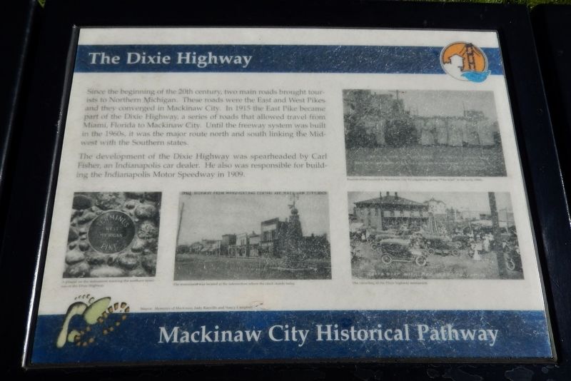
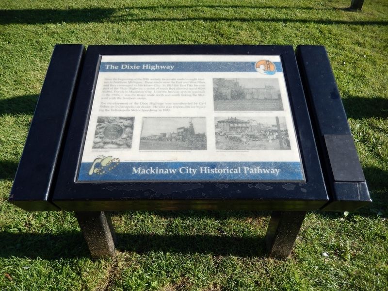
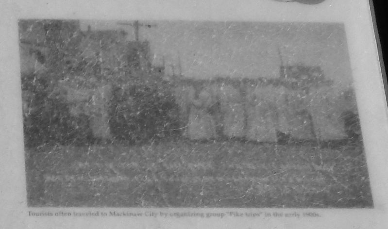
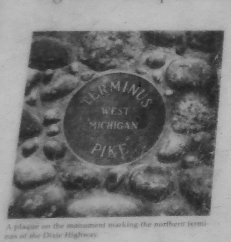
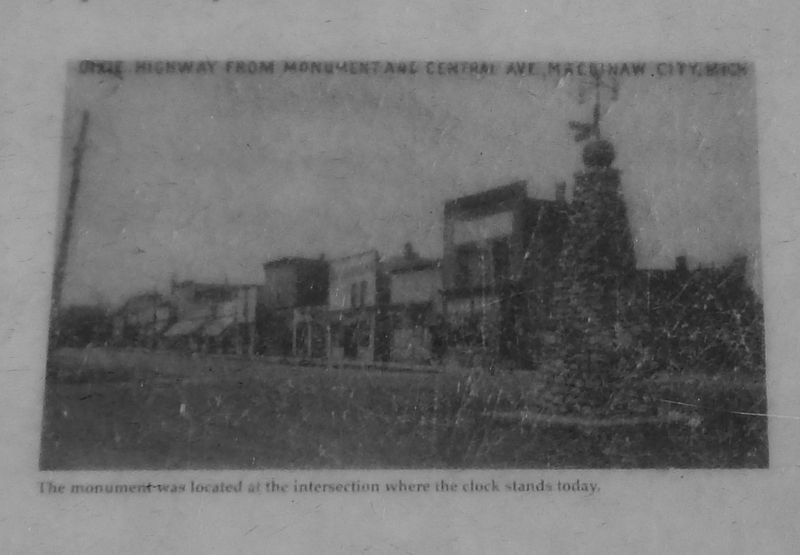
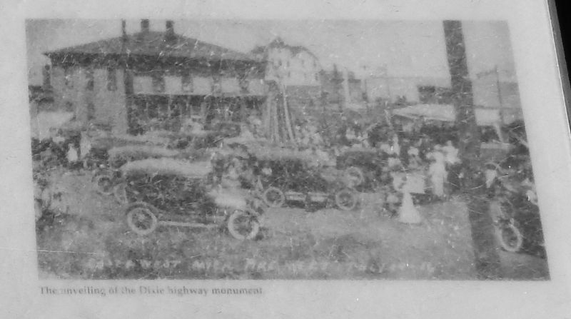
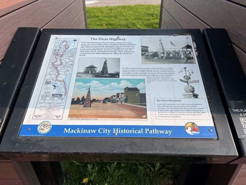
Since the beginning of the 20th century, two main roads brought tourists to Northern Michigan. These roads were the East and West Pikes and they converged in Mackinaw City. In 1915 the East Pike became part of the Dixie Highway, a series of roads that allowed travel from Miami, Florida to Mackinaw City. Until the freeway system was built in the 1960s, it was the major route north and south linking the Midwest with the Southern states.
The development of the Dixie Highway was spearheaded by Carl Fisher, an Indianapolis car dealer. He also was responsible for building the Indianapolis Motor Speedway in 1909.
Source: Memories of Mackinaw, Judy Ranville and Nancy Campbell
Topics. This historical marker is listed in this topic list: Roads & Vehicles.
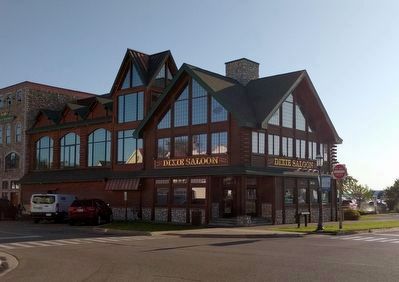
Location. 45° 46.899′ N, 84° 43.513′ W. Marker is in Mackinaw City, Michigan, in Cheboygan County. Marker is at the intersection of East Central Avenue and Langlade Street, on the right when traveling west on East Central Avenue. Marker is located directly in front of the "Dixie Saloon," on East Central Avenue. Touch for map. Marker is at or near this postal address: 401 East Central Avenue, Mackinaw City MI 49701, United States of America. Touch for directions.
Other nearby markers. At least 8 other markers are within walking distance of this marker. A different marker also named The Dixie Highway (here, next to this marker); The Water Highway (a few steps from this marker); Historic Mackinaw City (within shouting distance of this marker); Mackinaw City (within shouting distance of this marker); Iron Horse (within shouting distance of this marker); Chief Wawatam (within shouting distance of this marker); The Algomah (within shouting distance of this marker); Mackinaw, Mackinac or Michilimackinac? (within shouting distance of this marker). Touch for a list and map of all markers in Mackinaw City.
Also see . . .
1. Map of the Dixie Highway.
This map, issued by the NHA in 1915, shows the Dixie Highway, proposed by the Dixie Highway Association and endorsed by the NHA. The projected route runs from Mackinaw City, Michigan, to Miami, Florida. In order to traverse major cities of the Midwest, and especially Chicago and Detroit, part of the route is divided into eastern and western divisions. (Submitted on August 17, 2017, by Cosmos Mariner of Cape Canaveral, Florida.)
2. Carl Graham Fisher: Mr. Miami Beach. Carl Graham Fisher, an Indiana native, was the man who - among other accomplishments - conceived and built Miami Beach, Montauk Manor (on Long Island), the Indianapolis Speedway, and the country-crossing Lincoln and Dixie highways (which foreshadowed today's interstate highway system). In 1904 he met and invested in an entrepreneur who owned the patent for an automobile-headlight design, which made both men rich. Fisher parlayed his new fortune into the Indianapolis Speedway, which he conceived as a test track for American automobile engineers. His disdain for U.S. roads and his familiarity with U.S. automakers led to his proposal to finance privately a coast-to-coast “Lincoln Highway,” paid for by donations from automobile industrialists. Once that project was underway, Fisher turned his sights to Florida, where he recognized the potential of a swampy, mosquito-infested Miami Beach. (Submitted on October 28, 2018, by Cosmos Mariner of Cape Canaveral, Florida.)
Credits. This page was last revised on June 17, 2023. It was originally submitted on August 17, 2017, by Cosmos Mariner of Cape Canaveral, Florida. This page has been viewed 574 times since then and 30 times this year. Last updated on October 28, 2018, by Cosmos Mariner of Cape Canaveral, Florida. Photos: 1, 2, 3, 4, 5, 6. submitted on August 17, 2017, by Cosmos Mariner of Cape Canaveral, Florida. 7. submitted on May 27, 2023, by Sandra Hughes Tidwell of Killen, Alabama, USA. 8. submitted on October 4, 2019, by Joel Seewald of Madison Heights, Michigan. • Andrew Ruppenstein was the editor who published this page.
