Corbridge in Northumberland, England, United Kingdom — Northwestern Europe (the British Isles)
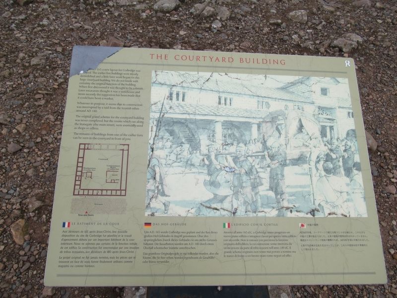
The Courtyard Building
Whatever its purpose. it seems that its construction was interrupted by a raid from the Scottish tribes around AD 180.
The original grand scheme for the courtyard building was never completed, but the rooms which ran along the Stanegate (the main street), were eventually used as shops or offices.
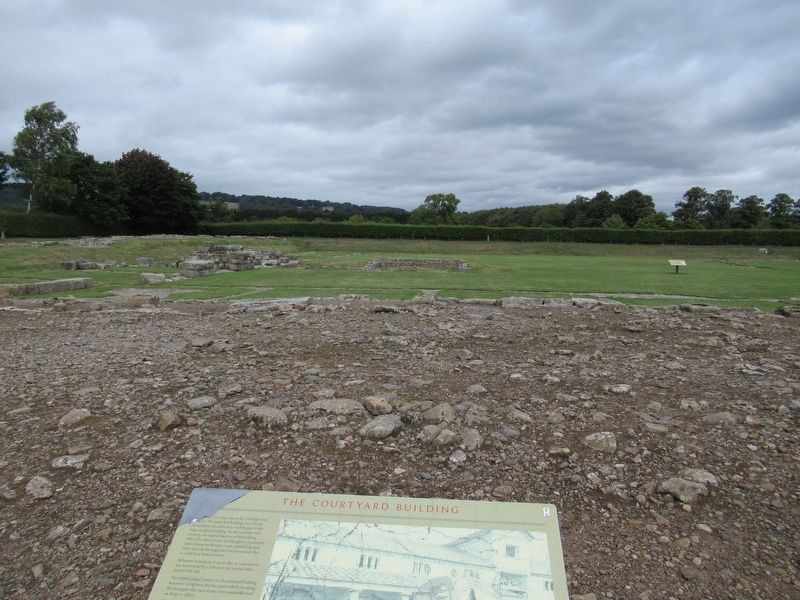
The remains of buildings from one of the earlier forts can be seen in the courtyard in front of you.
( the marker text is also presented in French, German, Italian and Japanese )
Topics. This historical marker is listed in these topic lists: Forts and Castles • Settlements & Settlers.
Location. 54° 58.681′ N, 2° 1.757′ W. Marker is in Corbridge, England, in Northumberland. Marker can be reached from Corchester Lane, 0.8 kilometers west of Stagshaw Road, on the left when traveling west. Located in Corbridge Roman Town. Touch for map. Marker is in this post office area: Corbridge, England NE45 5NT, United Kingdom. Touch for directions.
Other nearby markers. At least 8 other markers are within walking distance of this marker. The Fountain House (a few steps from this marker); The East Military Compound (within shouting distance of this marker); The Early Forts (within shouting distance of this marker); The Side Street (within shouting distance of this marker); The West Military Compound (within shouting distance of this marker); The Granaries (within shouting distance of this marker); The Main Street (within shouting distance of this marker); The West Headquarters Building (within shouting distance of this marker). Touch for a list and map of all markers in Corbridge.
Also see . . .
1. Corbridge Roman Town – English Heritage. (Submitted on October 28, 2018, by Michael Herrick of Southbury, Connecticut.)
2. Coria (Corbridge) on Wikipedia. (Submitted on October 28, 2018, by Michael Herrick of Southbury, Connecticut.)
Credits. This page was last revised on January 27, 2022. It was originally submitted on October 28, 2018, by Michael Herrick of Southbury, Connecticut. This page has been viewed 78 times since then and 5 times this year. Photos: 1, 2. submitted on October 28, 2018, by Michael Herrick of Southbury, Connecticut.

