
Victor in Ontario County, New York — The American Northeast (Mid-Atlantic)
Pumphouse
Photographed by Anton Schwarzmueller, October 26, 2018
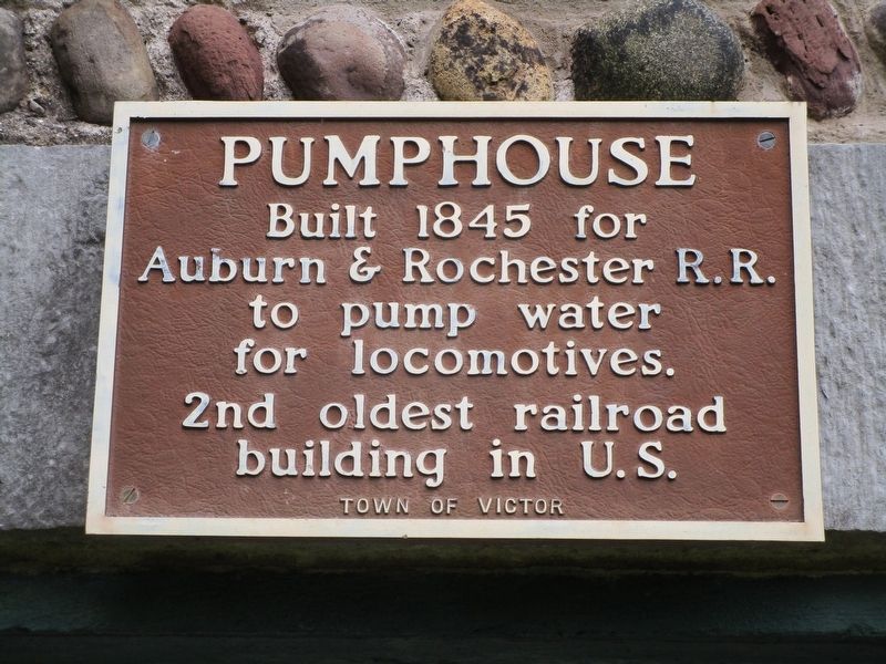
1. Pumphouse Marker
Built 1845 for
Auburn & Rochester R.R.
to pump water
for locomotives.
2nd oldest railroad
building in U.S.
Erected by Town of Victor.
Topics. This historical marker is listed in this topic list: Railroads & Streetcars. A significant historical year for this entry is 1845.
Location. 43° 0.527′ N, 77° 28.03′ W. Marker is in Victor, New York, in Ontario County. It can be reached from the intersection of Main Street Fishers (County Route 42) and Mill Street. Marker is behind the Post Office. Touch for map. Marker is at or near this postal address: 7847 Main Street Fishers, Victor NY 14564, United States of America. Touch for directions.

Regionally, this marker is in Upstate New York, specifically in Western New York, in the Finger Lakes, and in the Rochester Metropolitan Area. It is also in the American Northeast and in the Mid-Atlantic. Globally, it is in North America, the Western Hemisphere, the Western World, and the Anglosphere. Historically, it finds itself in what was once the Haudenosaunee (Iroquois) Confederacy, New Netherland, and one of the original Thirteen Colonies.
Other nearby markers. At
this page online
Photographed by Anton Schwarzmueller, October 26, 2018
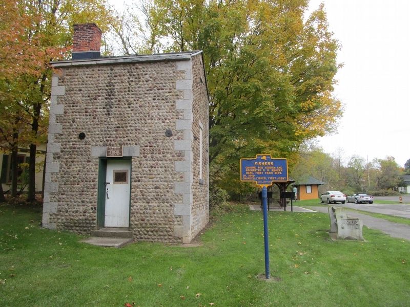
2. Pumphouse & Marker
Southward. Marker is on the door header. The Railroad ROW at right is now the Auburn Trail.
Photographed by Anton Schwarzmueller, October 26, 2018
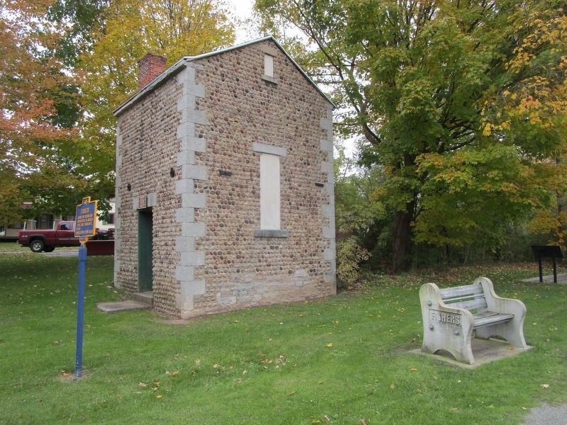
3. Pumphouse
Credits. This page was last revised on October 28, 2018. It was originally submitted on October 28, 2018, by Anton Schwarzmueller of Wilson, New York. This page has been viewed 311 times since then and 15 times this year. Photos: 1, 2, 3. submitted on October 28, 2018, by Anton Schwarzmueller of Wilson, New York.
