Victor in Ontario County, New York — The American Northeast (Mid-Atlantic)
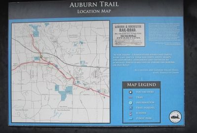
Auburn Trail Location Map
Auburn Trail Location Map
The Auburn Trail follows the route of the Auburn & Rochester Railroad through the Town of Victor. The Auburn & Rochester Railroad was incorporated in 1836, "commencing in the village of Auburn at the termination of the Auburn and Syracuse Railroad and running thence through the village of Seneca Falls and the town of Waterloo; the village of Geneva and the village of Vienna and the town of Manchester; the village of Canandaigua and thence through the town of Victor by the most eligible route to the City of Rochester where it may terminate and connect with the Tonawanda railroad. "It was incorporated into the New York Central Railroad Company in the 1850's. It ceased service in the 1960s.
~The beginnings of the New York Central Railroad: a History, Frank Walker Stevens.
"As for trains - grandfather always said tartly, every last one of them was dirty, sooty, bumpy, uncomfortable, dangerous and faithless to schedule. Particualrly did he dislike the Auburn, or Old Road."
~Rochester and Genesee Valley Rails, Mary Hamilton Dann
Topics. This historical marker is listed in these topic lists: Parks & Recreational Areas • Railroads & Streetcars. A significant historical year for this entry is 1836.
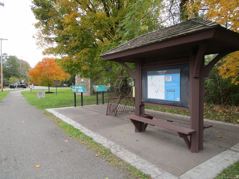
Location. 43° 0.516′ N, 77° 28.032′ W. Marker is in Victor, New York, in Ontario County. Marker can be reached from the intersection of Main Street Fishers and Mill Street. Marker is behind the Post Office. Touch for map. Marker is at or near this postal address: 7847 Main Street Fishers, Victor NY 14564, United States of America. Touch for directions.
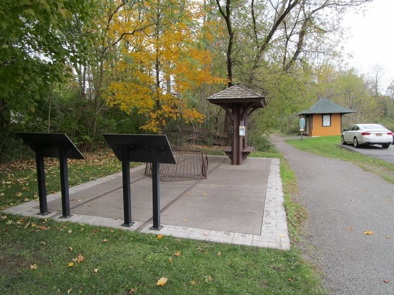
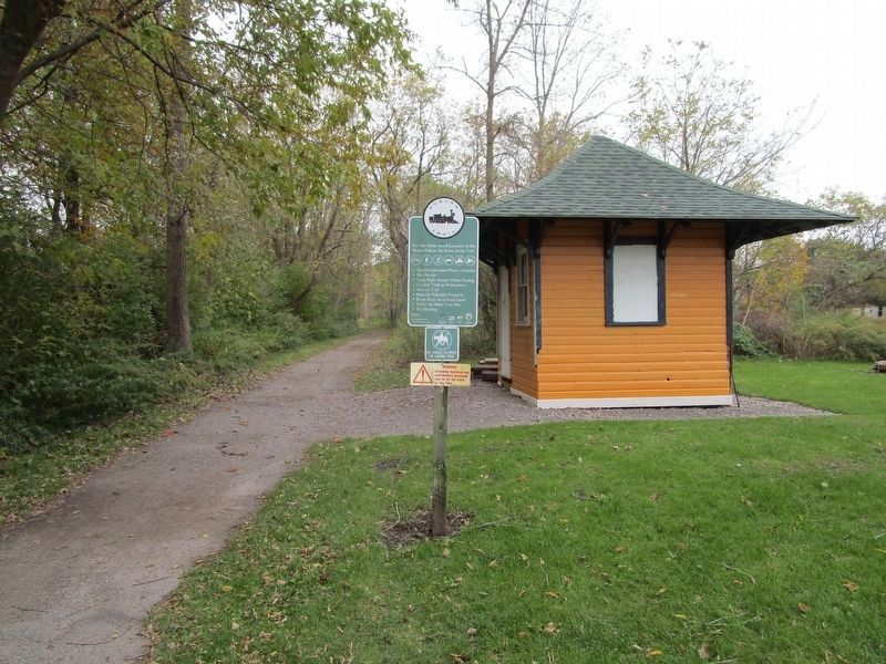
Other nearby markers. At least 8 other markers are within walking distance of this marker. New York Central Station at Main Street Fishers (here, next to this marker); Cobblestone Pumphouse at Fishers Station (here, next to this marker); Pumphouse (a few steps from this marker); Fishers (a few steps from this marker); Fisher Homestead (approx. 0.2 miles away); Pabos (approx. 0.2 miles away); Camp Site (approx. 0.2 miles away); Home of Sgt. Amos Woodin (approx. half a mile away). Touch for a list and map of all markers in Victor.
Credits. This page was last revised on October 28, 2018. It was originally submitted on October 28, 2018, by Anton Schwarzmueller of Wilson, New York. This page has been viewed 307 times since then and 36 times this year. Photos: 1, 2, 3, 4, 5. submitted on October 28, 2018, by Anton Schwarzmueller of Wilson, New York.
