Corbridge in Northumberland, England, United Kingdom — Northwestern Europe (the British Isles)
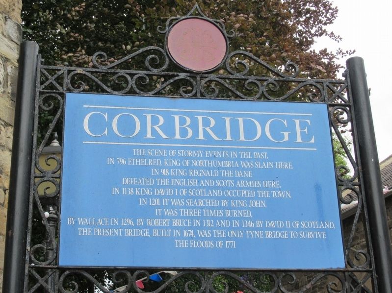
Corbridge
In 796 Ethelred, King of Northumbria was slain here.
In 918 King Regnald the Dane defeated the English and Scots armies here.
In 1138 King David I of Scotland occupied the town.
In 1201 it was searched by King John.
It was three times burned, by Wallace in 1296, by Robert Bruce in 1312 and in 1346 by David II of Scotland.
The present bridge, built in 1674, was the only Tyne bridge to survive the floods of 1771
Topics. This historical marker is listed in this topic list: Settlements & Settlers.
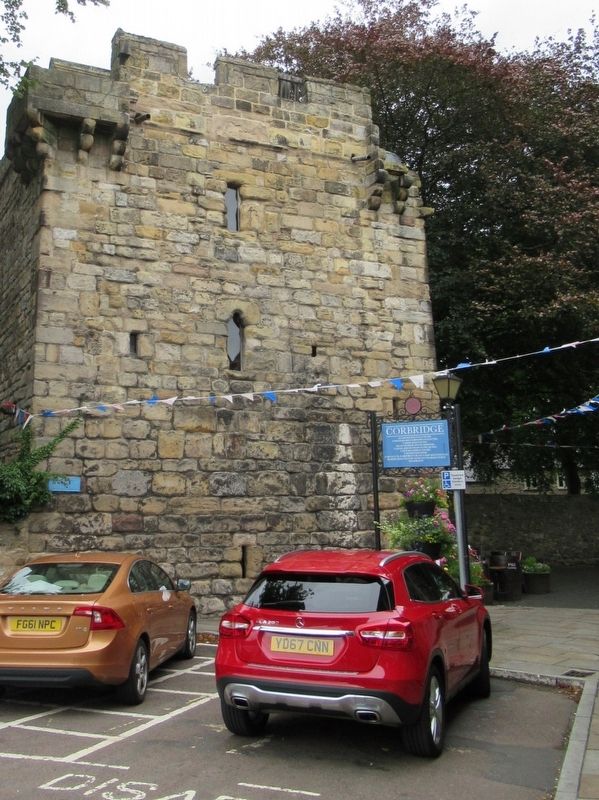
Location. 54° 58.451′ N, 2° 1.176′ W. Marker is in Corbridge, England, in Northumberland. Marker is at the intersection of Middle Street and Market Place, on the right when traveling north on Middle Street. Touch for map. Marker is in this post office area: Corbridge, England NE45 5AW, United Kingdom. Touch for directions.
Other nearby markers. At least 8 other markers are within walking distance of this marker. St Andrew Corbridge World War I Memorial (a few steps from this marker); Vicar’s Pele (a few steps from this marker); The Old Market Cross (a few steps from this marker); The King’s Oven (within shouting distance of this marker); The Golden Lion (about 120 meters away, measured in a direct line); First Methodist House (about 150 meters away); The East Military Compound (approx. 0.7 kilometers away); The Side Street (approx. 0.7 kilometers away). Touch for a list and map of all markers in Corbridge.
Also see . . .
1. Corbridge Parish Council. (Submitted on October 29, 2018, by Michael Herrick of Southbury, Connecticut.)
2. Corbridge on Wikipedia. (Submitted on October 29, 2018, by Michael Herrick of Southbury, Connecticut.)
Credits. This page was last revised on January 27, 2022. It was originally submitted on October 29, 2018, by Michael Herrick of Southbury, Connecticut. This page has been viewed 116 times since then and 12 times this year. Photos: 1, 2. submitted on October 29, 2018, by Michael Herrick of Southbury, Connecticut.

