Mountain Home in Elmore County, Idaho — The American West (Mountains)
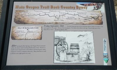
Site 5 ★ Rattlesnake Creek
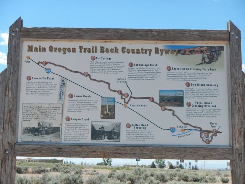
Main Oregon Trail Back County Byway
After leaving the Hot Springs, the Oregon Trail continued across the desert until reaching Rattlesnake Creek. Noted as a small stream of good water with willows and brunch grass, many emigrants rested or camped in this area. Many died here as well as diaries note eight graves in a row.
Erected by Bureau of Land Management; Oregon-California Trails Association, Idaho Chapter. (Marker Number 5.)
Topics and series. This historical marker is listed in these topic lists: Roads & Vehicles • Settlements & Settlers. In addition, it is included in the Oregon Trail series list. A significant historical date for this entry is September 10, 1852.
Location. 43° 8.868′ N, 115° 39.516′ W. Marker is in Mountain Home, Idaho, in Elmore County. Marker is on U.S. 20 near Industrial Way. Touch for map. Marker is in this post office area: Mountain Home ID 83647, United States of America. Touch for directions.
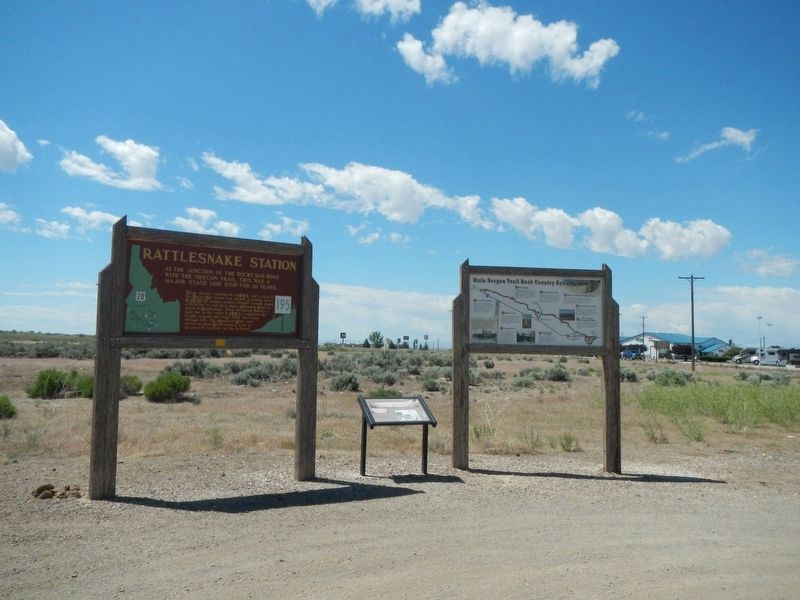
Other nearby markers. At least 8 other markers are within 9 miles of this marker, measured as the crow flies. Rattlesnake Station (here, next to this marker); Mountain Home Irrigation District (approx. ¾ mile away); Mountain Home Arrives in a 50-pound Soapbox (approx. 2.2 miles away); Oregon Trail 1864 (approx. 6.3 miles away); Site 4 ★ Hot Springs (approx. 6.9 miles away); Site 6 ★ Kelton Road (approx. 7.2 miles away); Toll Gate (approx. 8.2 miles away); Site 7 ★ Canyon Creek (approx. 8.2 miles away). Touch for a list and map of all markers in Mountain Home.
More about this marker. Should anyone wish to follow this portion of the Oregon Trail, I suggest they obtain a copy of the Main Oregon Trail Back Country Byway brochure by the BLM and OCTA. It is generally available at local visitors centers.
Credits. This page was last revised on November 1, 2018. It was originally submitted on November 1, 2018, by Barry Swackhamer of Brentwood, California. This page has been viewed 340 times since then and 38 times this year. Photos: 1, 2, 3. submitted on November 1, 2018, by Barry Swackhamer of Brentwood, California.


