Onida in Sully County, South Dakota — The American Midwest (Upper Plains)
Fort Sully
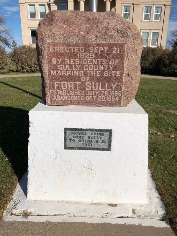
Photographed by Ruth VanSteenwyk, October 27, 2018
1. Fort Sully Marker
Erected Sept, 21
1928
By residents of
Sully County
Marking the Site
of
Fort Sully
Established July 26, 1886
Abandoned Oct, 20,1894
Moved from
Fort Sully
to Onida, S.D.
1961
Topics. This historical marker is listed in this topic list: Forts and Castles. A significant historical date for this entry is July 26, 1886.
Location. 44° 42.48′ N, 100° 3.97′ W. Marker is in Onida, South Dakota, in Sully County. It is at the intersection of Ash Ave and S. Main Street, on the right when traveling west on Ash Ave. Touch for map. Marker is in this post office area: Onida SD 57564, United States of America. Touch for directions.

Regionally, this marker is in East River. It is also in the American Lewis & Clark Corridor, on the prairies, and on the Northern Plains. Globally, it is in North America, the Western Hemisphere, the Western World, and the Anglosphere. Historically, it finds itself in what was once Rupert’s Land and also the Louisiana Purchase.
Other nearby markers. At least 7 other markers are within 14 miles of this marker, measured as the crow flies: African American Homesteader Community in Sully County
this page online
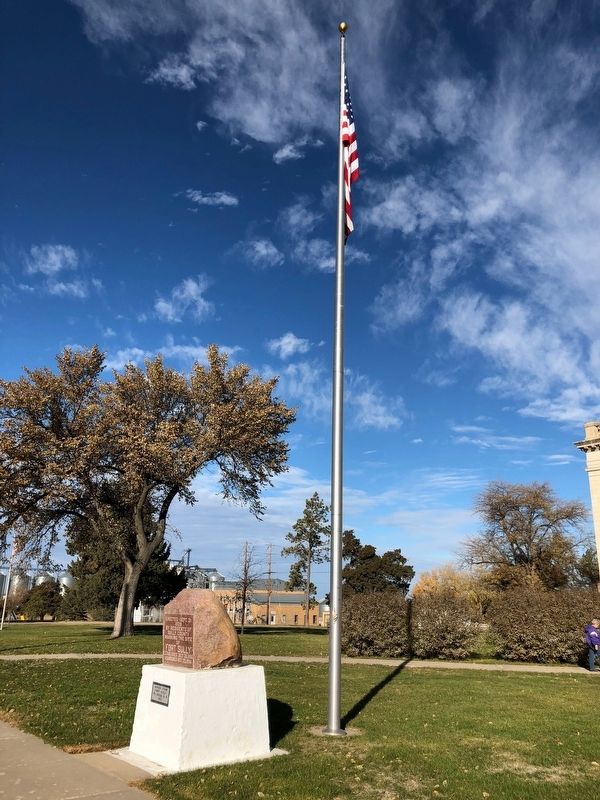
Photographed by Ruth VanSteenwyk, October 27, 2018
2. Fort Sully Marker

Photographed by Mark Parker, June 28, 2025
3. Fort Sully Marker in front of the Sully County Courthouse
Credits. This page was last revised on July 23, 2025. It was originally submitted on November 2, 2018, by Ruth VanSteenwyk of Aberdeen, South Dakota. This page has been viewed 402 times since then and 36 times this year. Photos: 1, 2. submitted on November 2, 2018, by Ruth VanSteenwyk of Aberdeen, South Dakota. 3. submitted on July 22, 2025, by Mark Parker of Hickory, North Carolina. • Andrew Ruppenstein was the editor who published this page.
