Shinnston in Harrison County, West Virginia — The American South (Appalachia)
Shinnston Tornado
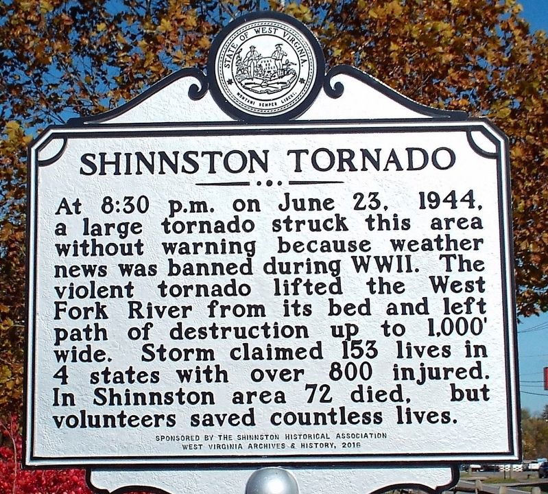
Photographed by Forest McDermott, October 30, 2018
1. Shinnston Tornado Marker
Erected 2016 by Sponsored by the Shinnston Historical Association - West Virginia Archives & History.
Topics and series. This historical marker is listed in this topic list: Disasters. In addition, it is included in the West Virginia Archives and History series list. A significant historical date for this entry is June 23, 1944.
Location. 39° 23.588′ N, 80° 18.445′ W. Marker is in Shinnston, West Virginia, in Harrison County. It is on S. Pike Street (U.S. 19), on the left when traveling north. At the entrance to the Trailhead parking area. Touch for map. Marker is in this post office area: Shinnston WV 26431, United States of America. Touch for directions.

Regionally, this marker is in the Little Kanawha Valley. It is also in the American South, specifically in the Upper
this page online
Other nearby markers. At least 8 other markers are within 2 miles of this marker, measured as the crow flies: 6-Sided Communications Booth (about 500 feet away, measured in a direct line); Sue Ann Miller (about 600 feet away); Richardson Tressel (approx. 0.2 miles away); a different marker also named Richardson Tressel (approx. 0.2 miles away); Veterans Memorial (approx. 0.6 miles away); Levi Shinn House (approx. 0.7 miles away); Levi Shinn House - Built 1778 (approx. 0.7 miles away); Haywood Junction State Police Camp (approx. 1.2 miles away). Touch for a list and map of all markers in Shinnston.
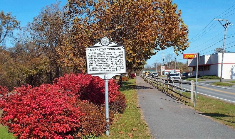
Photographed by Forest McDermott, October 30, 2018
2. Shinnston Tornado Marker
Looking north on Route 19, S. Pike Street.

Photographed by Forest McDermott, October 30, 2018
3. Shinnston Tornado Marker
At the entrance to the West Fork River Trail.
Credits. This page was last revised on November 7, 2025. It was originally submitted on November 3, 2018, by Forest McDermott of Masontown, Pennsylvania. This page has been viewed 841 times since then and 90 times this year. Photos: 1, 2, 3. submitted on November 3, 2018, by Forest McDermott of Masontown, Pennsylvania. • Andrew Ruppenstein was the editor who published this page.
