Boise in Ada County, Idaho — The American West (Mountains)
L.D.S. Pioneers of Boise
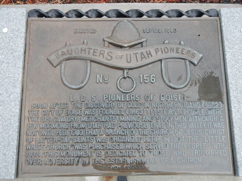
Photographed by Barry Swackhamer, May 17, 2018
1. L.D.S. Pioneers of Boise Marker
Erected 1950 by Daughters of Utah Pioneers, Ada County. (Marker Number 156.)
Topics and series. This historical marker is listed in this topic list: Religion & Religious Structures. In addition, it is included in the Daughters of Utah Pioneers series list.
Location. 43° 35.61′ N, 116° 16.662′ W. Marker is in Boise, Idaho, in Ada County. It can be reached from South Cole Road near Brentwood Drive, on the left when traveling north. Touch for map. Marker is at or near this postal address: 1211 South Cole Road, Boise ID 83709, United States
this page online

Regionally, this marker is on the Snake River Plain. It is also in the American Mountain West. Globally, it is in North America, the Western Hemisphere, the Western World, and the Anglosphere.
Other nearby markers. At least 8 other markers are within 4 miles of this marker, measured as the crow flies: Reinhold Chrystman (approx. 3.6 miles away); McClelland Ferry (approx. 3.7 miles away); The Log Cabin (approx. 3.7 miles away); Wilson Price Hunt Expedition (approx. 3.7 miles away); The WPA (Works Project Administration) (approx. 3.7 miles away); St. Margaret’s Hall (approx. 3.7 miles away); a different marker also named St. Margaret's Hall (approx. 3.7 miles away); Administration Building (approx. 3.7 miles away). Touch for a list and map of all markers in Boise.
More about this marker. This marker is horizontally mounted on a bench located in the parking lot at the back of the Boise L.D.S. Temple.
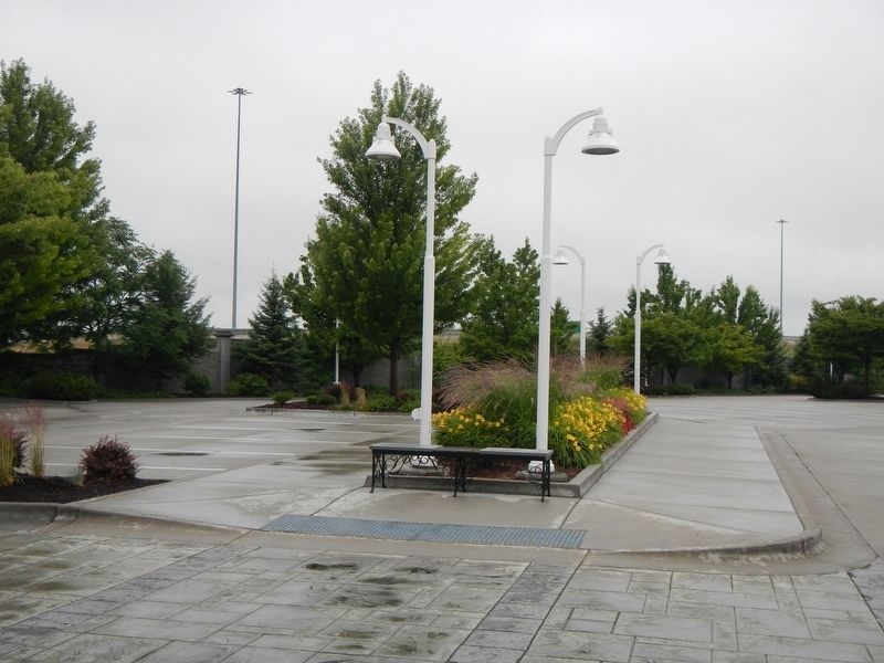
Photographed by Barry Swackhamer, May 17, 2018
2. L.D.S. Pioneers of Boise Marker
Credits. This page was last revised on November 3, 2018. It was originally submitted on November 3, 2018, by Barry Swackhamer of Brentwood, California. This page has been viewed 925 times since then and 87 times this year. Photos: 1, 2. submitted on November 3, 2018, by Barry Swackhamer of Brentwood, California.
