Shoreacres near La Porte in Harris County, Texas — The American South (West South Central)
Site of Battle of San Jacinto, 1836
Photographed by Jim Evans, March 8, 2012
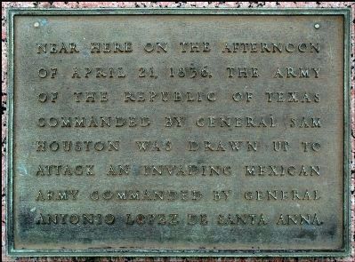
1. Site of Battle of San Jacinto, 1836 marker
Near here on the afternoon of April 21, 1836, the army of The Republic of Texas commanded by General Sam Houston was drawn up to attack an invading Mexican army commanded by General Antonio Lopez de Santa Anna.
Erected 1936 by Texas Highway Department. (Marker Number 10767.)
Topics and series. This historical marker is listed in this topic list: War, Texas Independence. In addition, it is included in the Texas 1936 Centennial Markers and Monuments series list. A significant historical date for this entry is April 21, 1836.
Location. 29° 43.92′ N, 95° 5.397′ W. Marker is near La Porte, Texas, in Harris County. It is in Shoreacres. It is at the intersection of Independence Parkway and Juan N Seguin Boulevard (Vista Road), on the right when traveling south on Independence Parkway. Vista Road has been rededicated as Juan N Seguin Boulevard. Touch for map. Marker is at or near this postal address: 1943 Independence Parkway, La Porte TX 77571, United States of America. Touch for directions.

Regionally, this marker is in the Houston Metropolitan Area. It is also in the American South and on the Gulf Coast. Globally, it is in
this page online
Other nearby markers. At least 8 other markers are within 2 miles of this marker, measured as the crow flies: Will You Come to the Bower, Battle of San Jacinto (here, next to this marker); Mexican Cavalry, Battle of San Jacinto (approx. 0.6 miles away); Within A Few Minutes, Battle of San Jacinto Site (approx. 0.6 miles away); Mexican Position (approx. 1.1 miles away); The Texas Army Attacked in Four Divisions (approx. 1.2 miles away); Battle of San Jacinto (approx. 1.2 miles away); Cavalry Skirmish (approx. 1.2 miles away); Mexican Breastworks (approx. 1.2 miles away). Touch for a list and map of all markers in La Porte.
Also see . . . San Jacinto, Battle of - The Handbook of Texas Online. Texas State Historical Association (TSHA) (Submitted on November 5, 2018, by Brian Anderson of New Albany, Ohio.)
Photographed by Jim Evans, March 8, 2012
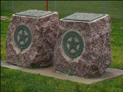
2. The Battle of San Jacinto, 1836 marker
Photographed by Jim Evans, March 8, 2012
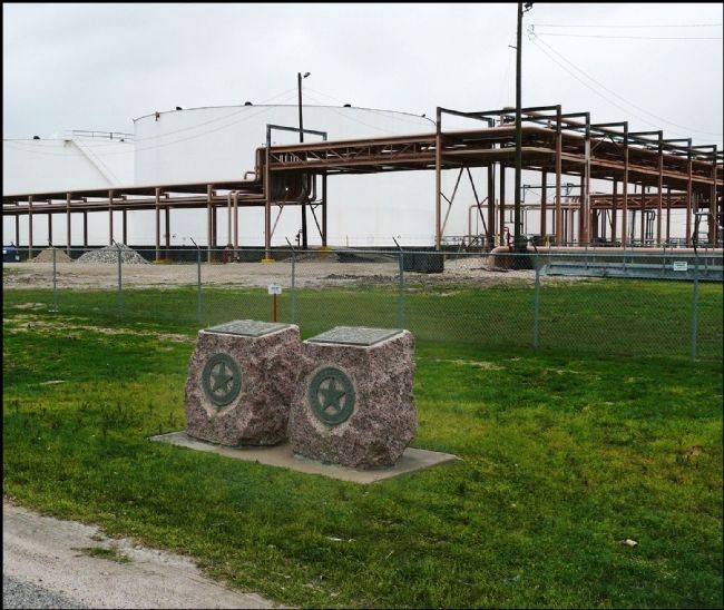
3. The Battle of San Jacinto Marker
Credits. This page was last revised on February 1, 2023. It was originally submitted on March 19, 2012, by Jim Evans of Houston, Texas. This page has been viewed 1,841 times since then and 59 times this year. Last updated on November 5, 2018, by Brian Anderson of New Albany, Ohio. Photos: 1, 2, 3. submitted on March 19, 2012, by Jim Evans of Houston, Texas. • Andrew Ruppenstein was the editor who published this page.
