Woodbridge in Middlesex County, New Jersey — The American Northeast (Mid-Atlantic)
Fulton Street Neighborhood
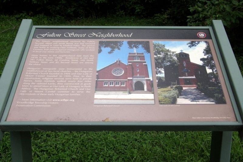
The historic neighborhood enclosed by Fulton, Second, Albert and Smith Streets were first surveyed and mapped in 1840 by Ichabod Potter. The section was home to working-class residents, many of the German, Irish and Hungarian immigrants who worked in local clay mines and factories.
Many homes in the neighborhood date from the 1870s to the early 1900s. Residences at 263 and 281 Fulton Street, 60 Caroline Street, 340 North William Street and 85 Second Street are among the oldest.
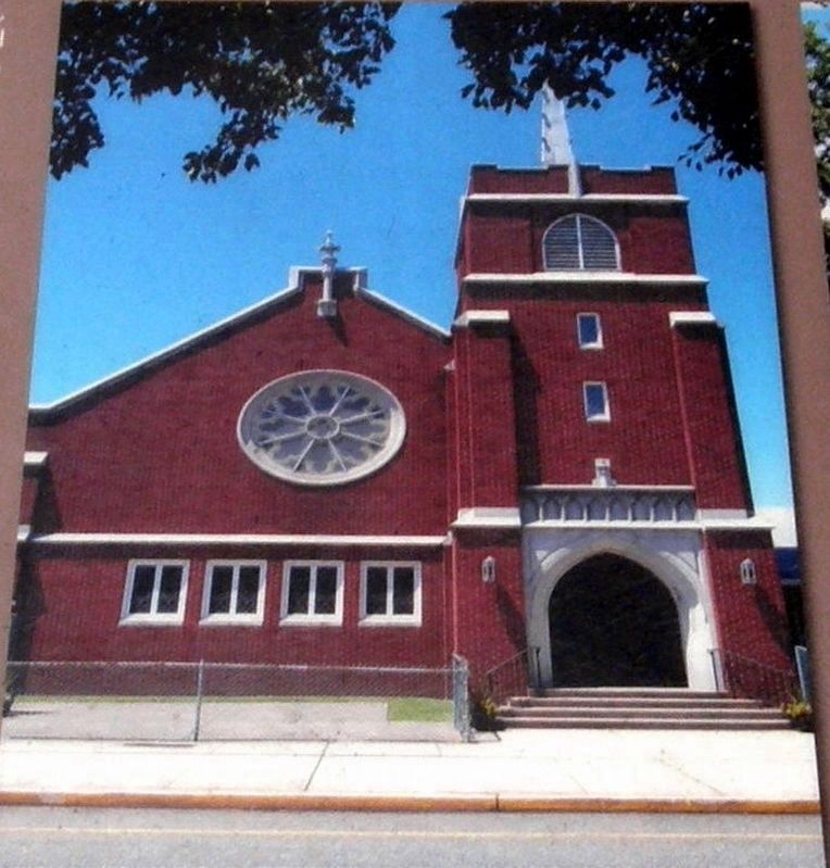
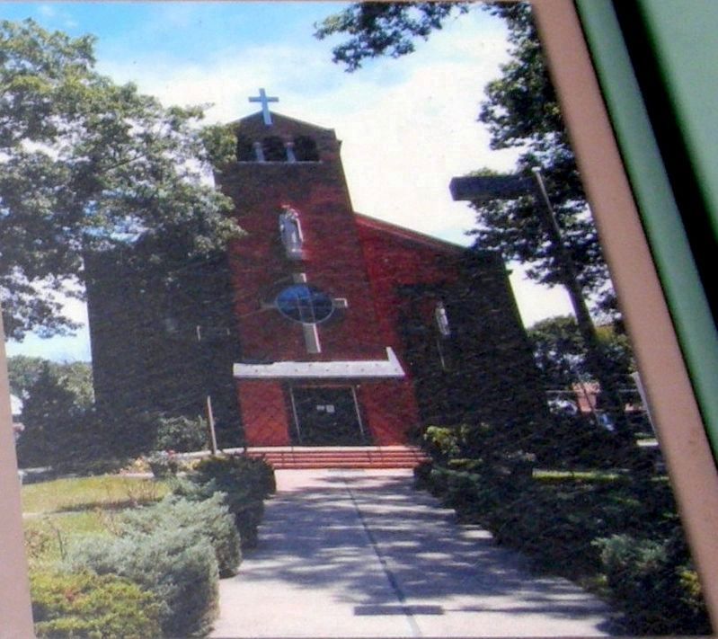
Hungarian immigrants were instrumental in the establishment of two local churches – the Hungarian Reformed Church founded in 1904 and Our Lady of Mount Carmel founded in 1920. Prior to their construction, religious services were held in private homes. Some residents walked nearly four miles along the railroad tracks, then constructed at grade level, to attend Mass at Our Lady of Hungary in Perth Amboy. The Hungarian Reformed Church and Our Lady of Mount Carmel continue to serve the descendants of these early Hungarian families.
More information visit www.wthpc.org
Woodbridge Township Historic Preservation Commission
Mayor John E. McCormac Woodbridge Township 2013
Erected 2013 by Woodbridge Township Historic Preservation Commission.
Topics. This historical marker is listed in this topic list: Churches & Religion. A significant historical year for this entry is 1840.
Location. 40° 33.399′ N, 74° 16.952′ W. Marker is in Woodbridge, New Jersey, in Middlesex County. The marker is along a footpath that runs through Bernie Anderson park. Touch for map. Marker is at or near this postal address: Amboy Avenue, Woodbridge NJ 07095, United States of America. Touch for directions.
Other nearby markers. At least 8 other markers are within walking distance of this marker. William Cutter House (a few steps from this marker); African-American Contributions (within shouting distance of this marker); Methodist Episcopal Church & Parsonage (within shouting distance of this marker); Trinity Episcopal Church (within shouting distance of this marker); Shinn-Woodbridge Airport (within shouting distance of this marker); M.D. Valentine & Brothers (within shouting distance of this marker); Cross Keys Tavern (within shouting distance of this marker); Woodbridge Township COVID-19 Victims Memorial (about 300 feet away, measured in a direct line). Touch for a list and map of all markers in Woodbridge.
Credits. This page was last revised on November 6, 2018. It was originally submitted on November 6, 2018, by Larry Gertner of New York, New York. This page has been viewed 273 times since then and 44 times this year. Photos: 1, 2, 3, 4. submitted on November 6, 2018, by Larry Gertner of New York, New York. • Andrew Ruppenstein was the editor who published this page.


