Dublin in Pulaski County, Virginia — The American South (Mid-Atlantic)
New River Ordnance Plant
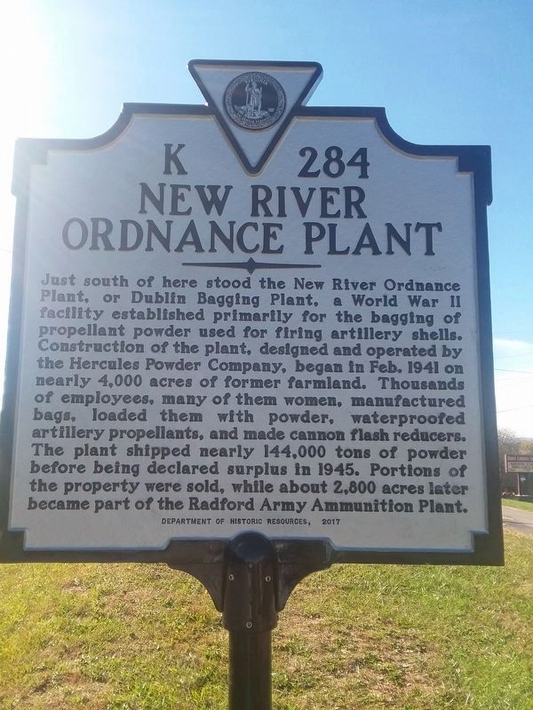
Photographed by Roger Miller, November 7, 2018
1. New River Ordnance Plant Marker
Erected 2017 by Department of Historic Resources. (Marker Number K-284.)
Topics and series. This historical marker is listed in these topic lists: Industry & Commerce • War, World II. In addition, it is included in the Virginia Department of Historic Resources (DHR) series list. A significant historical month for this entry is February 1941.
Location. 37° 6.344′ N, 80° 40.304′ W. Marker is in Dublin, Virginia, in Pulaski County. It is at the intersection
this page online

Regionally, this marker is in Southwest Virginia, in the Blue Ridge Highlands, and in the New River Gorge. It is also in the American South, specifically in the Upper South, in Appalachia, and specifically in Southern Appalachia. Globally, it is in North America, the Western Hemisphere, the Western World, and the Anglosphere. Historically, it finds itself in what was once the territory of the Mississippian Culture, one of the original Thirteen Colonies, one of the Confederate States of America, and the Antebellum South.
Other nearby markers. At least 8 other markers are within 2 miles of this marker, measured as the crow flies: American Veterans (approx. ¼ mile away); Dublin Presbyterian Church (approx. 0.7 miles away); World War II Home Front (approx. 1.2 miles away); New Dublin Presbyterian Church (approx. 1.8 miles away); Trollingers' Cave (approx. 2 miles away); Battle of Cloyd's Mountain
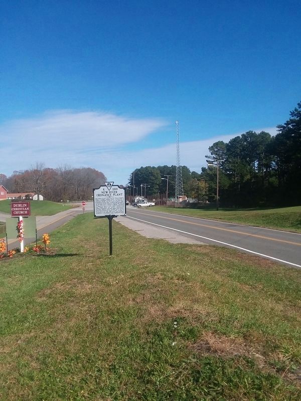
Photographed by Roger Miller, November 7, 2018
2. New River Ordnance Plant Marker
Credits. This page was last revised on November 10, 2018. It was originally submitted on November 7, 2018, by Roger Miller of Pulaski, Virginia. This page has been viewed 2,743 times since then and 122 times this year. Photos: 1, 2. submitted on November 7, 2018, by Roger Miller of Pulaski, Virginia. • Bernard Fisher was the editor who published this page.
