Durham in Durham County, North Carolina — The American South (South Atlantic)
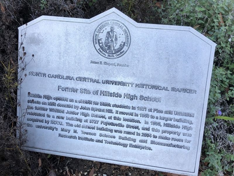
Former Site of Hillside High School
North Carolina Central University Historical Marker

Photographed By Devry Becker Jones (CC0), November 10, 2018
1. Former Site of Hillside High School Marker
Erected by North Carolina Central University.
Topics and series. This historical marker is listed in these topic lists: African Americans • Education. In addition, it is included in the Historically Black Colleges and Universities series list. A significant historical year for this entry is 1921.
Location. 35° 58.527′ N, 78° 54.178′ W. Marker is in Durham, North Carolina, in Durham County. Marker is at the intersection of Concord Street and Brant Street, on the left when traveling south on Concord Street. Touch for map. Marker is in this post office area: Durham NC 27707, United States of America. Touch for directions.
Other nearby markers. At least 8 other markers are within walking distance of this marker. College Heights Historic District (within shouting distance of this marker); Shepard House (about 400 feet away, measured in a direct line); Centennial Chapel (about 500 feet away); James Edward Shepard (approx. 0.2 miles away); Clyde R. Hoey Building (approx. 0.2 miles away); Beulah C. Bowens Fuller (approx. 0.2 miles away); a different marker also named College Heights Historic District (approx. ¼ mile away); Algonquin Tennis Club (approx. 0.4 miles away). Touch for a list and map of all markers in Durham.
Additional keywords. HBCUs

Photographed By Devry Becker Jones (CC0), November 10, 2018
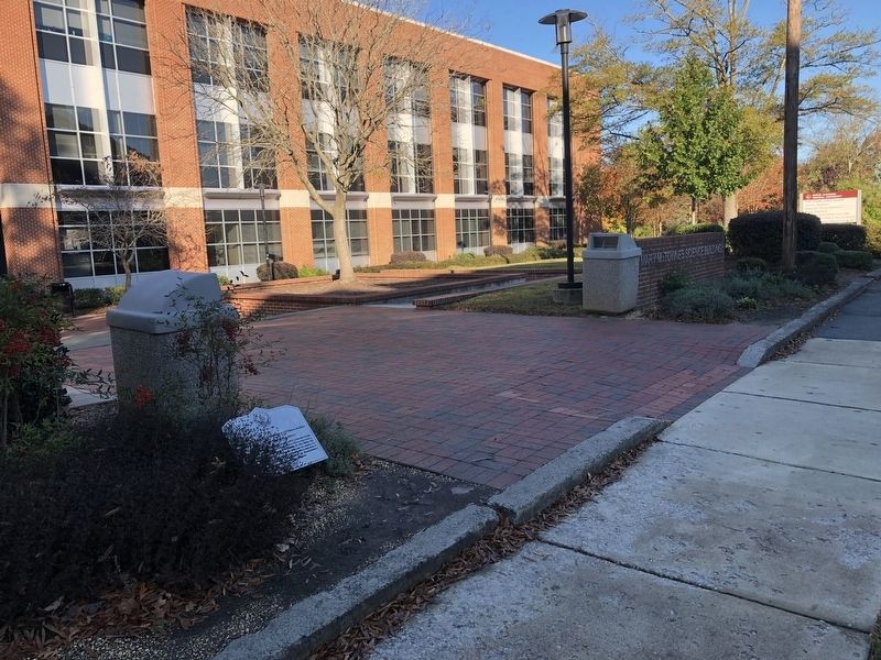
2. Former Site of Hillside High School Marker
Credits. This page was last revised on May 5, 2019. It was originally submitted on November 12, 2018, by Devry Becker Jones of Washington, District of Columbia. This page has been viewed 548 times since then and 51 times this year. Photos: 1, 2. submitted on November 12, 2018, by Devry Becker Jones of Washington, District of Columbia. • Andrew Ruppenstein was the editor who published this page.