Woodbridge in Middlesex County, New Jersey — The American Northeast (Mid-Atlantic)
Woodbridge Cloverleaf
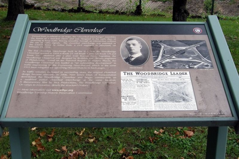
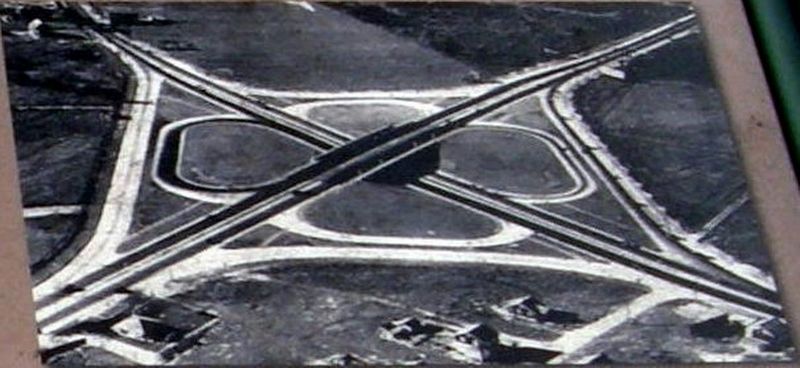
Viewed from overhead or on maps, the “cloverleaf interchange” resembles the leaves of a four-leaf clover and was designed in the early days of motoring to keep traffic flowing smoothly through an intersection without use of traffic signals. The cloverleaf interchange was patented in the United States by Arthur Hale, a civil engineer in Maryland, on February 29, 1916.
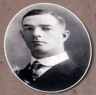
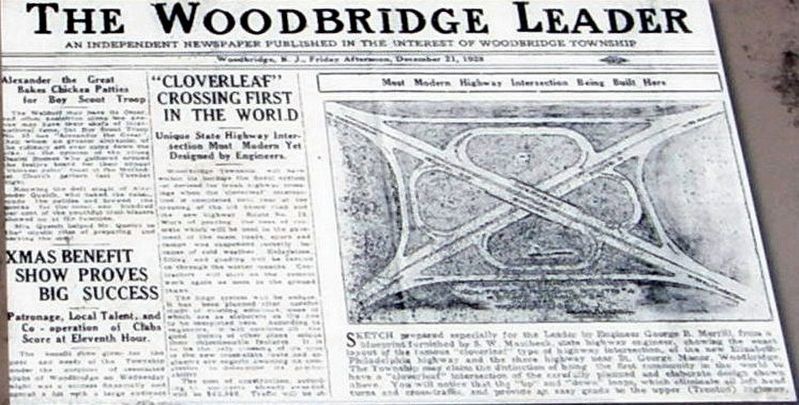
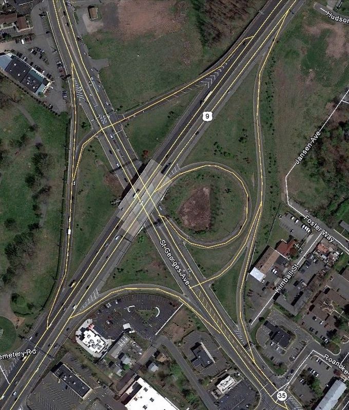
The first cloverleaf interchange built in the U.S. was the Woodbridge Cloverleaf opened in 1929 at Route 25 and Route 4 (now Route 1/9 and Route 35). Modeled after a plan from Buenos Aires, Argentina, the Woodbridge Cloverleaf was designed by Rudolph and Delano engineers of Philadelphia. Listed on the National Register of Historic Places, the Woodbridge Cloverleaf was lauded as “an outstanding development” in traffic engineering by the Engineering News-Record, which in the same 1931 issue relegated the upcoming Hoover Dam to its back pages.
As traffic volumes increased in succeeding years, the original cloverleaf design became obsolete; in 2006, New Jersey Dept. of Transportation demolished the Woodbridge Cloverleaf and began construction on a modified partial cloverleaf interchange at the same location. A documentary film by Sica productions, The Woodbridge Cloverleaf: On-ramps to Innovation, details the structure’s history.
More information visit www.wthpc.org
Woodbridge Township Historic Preservation Commission
Mayor John E. McCormac Woodbridge Township 2013
Erected 2013 by Woodbridge Township Historic Preservation Commission.
Topics. This historical marker is listed in this topic list: Roads & Vehicles. A significant historical year for this entry is 1929.
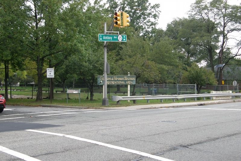
Location. 40° 33.337′ N, 74° 17.007′ W. Marker is in Woodbridge, New Jersey, in Middlesex County. Marker is at the intersection of Amboy Avenue and S Park Drive, on the right when traveling south on Amboy Avenue. The marker is within the Marion and Norman Tanzman Recreational Area. Touch for map. Marker is in this post office area: Woodbridge NJ 07095, United States of America. Touch for directions.
Other nearby markers. At least 8 other markers are within walking distance of this marker. Adath Israel Synagogue (a few steps from this marker); Woodbridge (within shouting distance of this marker); The Parish Community of St. James (within shouting distance of this marker); Revolutionary War Battles in Woodbridge (within shouting distance of this marker); Woodbridge Township COVID-19 Victims Memorial (within shouting distance of this marker); Woodbridge Golden Bears (within shouting distance of this marker); Cross Keys Tavern
(within shouting distance of this marker); Shinn-Woodbridge Airport (about 300 feet away, measured in a direct line). Touch for a list and map of all markers in Woodbridge.
Additional keywords. engineering
Credits. This page was last revised on November 15, 2018. It was originally submitted on November 14, 2018, by Larry Gertner of New York, New York. This page has been viewed 1,289 times since then and 146 times this year. Photos: 1, 2, 3, 4, 5, 6. submitted on November 14, 2018, by Larry Gertner of New York, New York. • Andrew Ruppenstein was the editor who published this page.
