Jersey City in Hudson County, New Jersey — The American Northeast (Mid-Atlantic)
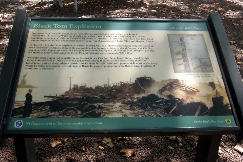
Black Tom Explosion
Liberty State Park
Photographed by Larry Gertner, September 15, 2017
1. Black Tom Explosion Marker
You are standing on a site which saw one of the worse acts of sabotage in American history!
Prior to the U.S. entering WWI, the shoreline on which you now stand was occupied by an extensive munitions depot operated by the Lehigh Valley Railroad. The area was referred to as Black Tom Island and was the largest munitions depot in the country, supplying shipments to both the Allied and German forces.
On July 30, 1916, the depot exploded in flames, rocking New York Harbor and sending residents tumbling from their beds. The noise of the explosion was heard as far away as Maryland and Connecticut. On Ellis Island, terrified immigrants were evacuated by ferry to the Battery in Lower Manhattan. Shrapnel pierced the Statue of Liberty, damaging the torch. Property damage was estimated at $20 million.
While the exact number of casualties is not known, Jersey City Patrolman James Doherty and Lehigh Valley Railroad Police Chief Cornelius Leyden were among those killed as a result of the explosion. Initial investigations declared the explosion was an accident, but after seventeen years of deliberation, Germany would be found responsible.
this page online
Erected by NJ Department of Environmental Protection/StatePark Services.
Topics. This historical marker is listed in these topic lists: Disasters • War, World I. A significant historical date for this entry is July 30, 1916.
Location. 40° 41.566′ N, 74° 3.443′ W. Marker is in Jersey City, New Jersey, in Hudson County. It can be reached from Morris Pesin Drive. Touch for map. Marker is at or near this postal address: 200 Morris Pesin Dr, Jersey City NJ 07305, United States of America. Touch for directions.

Regionally, this marker is in New Jersey’s North Jersey, in Greater Newark, and in the New York City Metropolitan Area. It is also in the American Northeast, in the Mid-Atlantic, and on the Eastern Seaboard. Globally, it is in the North Atlantic Region, North America, the Western Hemisphere, the Western World, and the Anglosphere. Historically, it finds itself in what was once New Netherland and also one of the original Thirteen Colonies.
Other nearby markers. At least 8 other markers are within walking distance
Photographed by Larry Gertner, September 15, 2017
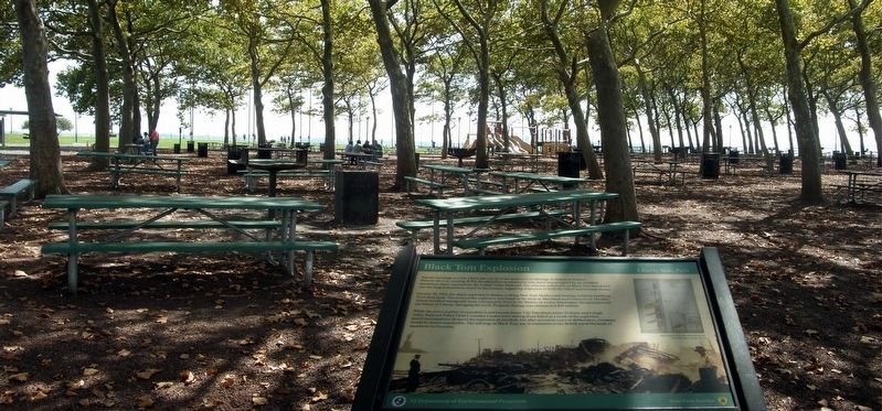
2. Black Tom Explosion Marker location
Other markers no longer nearby. Explosion at Liberty! (was here, next to this marker but has been confirmed missing); Morris Pesin’s Legendary Canoe Trip Which Launched Liberty State Park (was approx. 0.2 miles away but has been confirmed missing).
Related marker. Click here for another marker that is related to this marker.
Also see . . . Black Tom explosion. Wikipedia entry. (Submitted on April 17, 2020, by Larry Gertner of New York, New York.)

Photographed by Larry Gertner, September 15, 2017
3. Inset
After the explosion. The Statue of Liberty's pedestal is in the left background.
Photographed by Larry Gertner, September 23, 2018
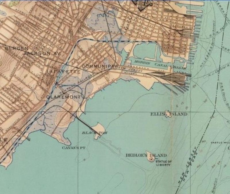
4. Black Tom Island
Liberty (Bedlow's) Island is about 2100 feet from the blast site; Ellis Island about double that.
Credits. This page was last revised on April 18, 2020. It was originally submitted on November 15, 2018, by Larry Gertner of New York, New York. This page has been viewed 1,744 times since then and 99 times this year. Photos: 1, 2, 3, 4. submitted on November 15, 2018, by Larry Gertner of New York, New York. • Bill Pfingsten was the editor who published this page.
