Hexham in Northumberland, England, United Kingdom — Northwestern Europe (the British Isles)
Crindledykes
Limekiln
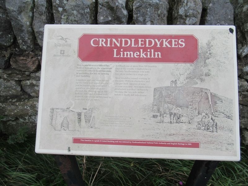
Limestone and coal were hauled up the ramp and tipped into the pot for burning; the powdered quicklime was shovelled out through the drawing eye at the bottom. After being slaked with water it was spread on farmland to neutralize acid pastures.
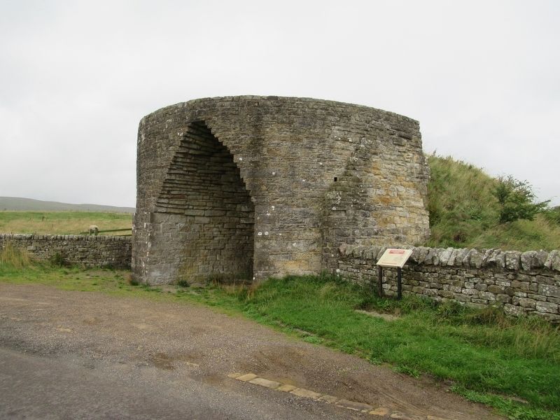
Although one of more than 300 limekiln sites in the county, Crindledykes is the only Northumbrian kiln with four draw arches to a single pot.
Most limekilns ceased working in the early 1900's as alternative and cheaper bulk supplies of lime became available. At Crindledykes production was first cut back by blocking the two side arches before it finally fell into disuse.
This limekiln is a grade II Listed Building and was restored by Northumberland National Park Authority and English Heritage in 1989.
( photo caption )
The diagram (left) shows how a typical limekiln worked. The reconstruction drawing (right) shows how Crindledykes might have looked on a busy day in the nineteenth century.
Topics. This historical marker is listed in this topic list: Agriculture. A significant historical year for this entry is 1989.
Location. 54° 59.822′ N, 2° 20.656′ W. Marker is in Hexham, England, in Northumberland. Marker is on Stanegate, 5.2 kilometers west of North Road, on the right when traveling west. Touch for map. Marker is in this post office area: Hexham, England NE47 7AF, United Kingdom. Touch for directions.
Other nearby markers. At least 8 other markers are within walking distance of this marker. Vindolanda Inscriptions (approx. one kilometer away); S.P.Q.R. (approx. one kilometer away); The Milestone (approx. 1.1 kilometers away); Chesterholm Museum (approx. 1.1 kilometers away); Roman Pottery Kiln (approx. 1.1 kilometers away); Dolichenum (approx. 1.2 kilometers away); Workshops (approx. 1.2 kilometers away); Severan Circular Huts (approx. 1.2 kilometers away). Touch for a list and map of all markers in Hexham.
Credits. This page was last revised on January 27, 2022. It was originally submitted on November 16, 2018, by Michael Herrick of Southbury, Connecticut. This page has been viewed 142 times since then and 18 times this year. Photos: 1, 2. submitted on November 16, 2018, by Michael Herrick of Southbury, Connecticut.

