Windsor Locks in Capitol Region, Connecticut — The American Northeast (New England)
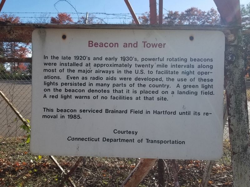
Beacon and Tower
Photographed by Michael Herrick, November 7, 2018
1. Beacon and Tower Marker
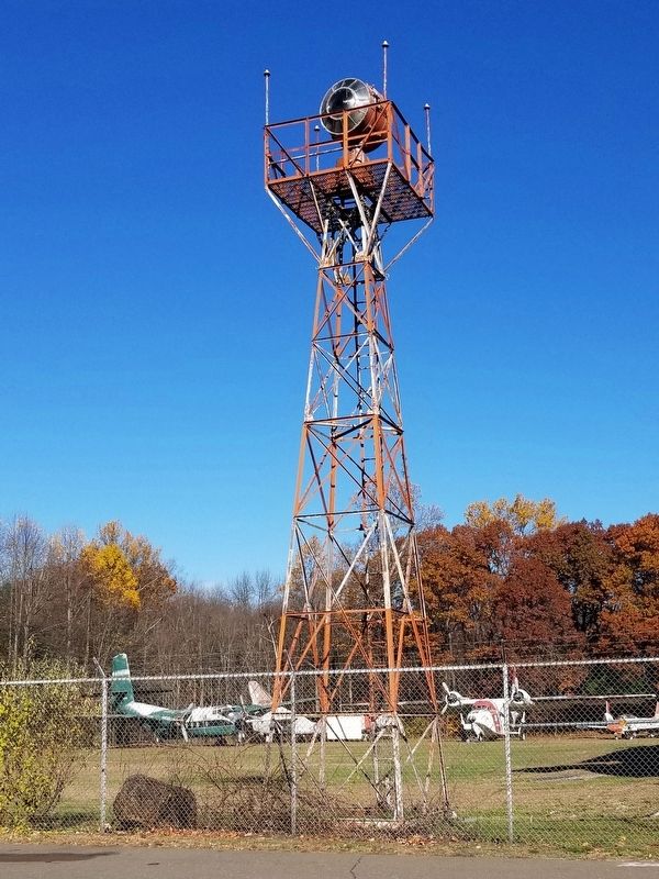
This beacon serviced Brainard Field in Hartford until its removal in 1985.
Connecticut Department of Transportation
Topics. This historical marker is listed in this topic list: Air & Space. A significant historical year for this entry is 1985.
Location. 41° 56.846′ N, 72° 41.527′ W. Marker is in Windsor Locks in Capitol Region, Connecticut. It is on Perimeter Road 1.7 miles west of South Street (Connecticut Route 75), on the right when traveling west. Located at the New England Air Museum. Touch for map. Marker is at or near this postal address: 36 Perimeter Road, Windsor Locks CT 06096, United States of America. Touch for directions.

Regionally, this marker is in the Connecticut
this page online
Other nearby markers. At least 8 other markers are within 3 miles of this marker, measured as the crow flies: Connecticut Fallen Firefighters’ Memorial (approx. 0.3 miles away); Planted in Memory (approx. 1.9 miles away); East Granby Roll of Honor (approx. 1.9 miles away); East Granby World War Roll of Honor (approx. 1.9 miles away); East Granby (approx. 2 miles away); Secure Ore Not Secure (approx. 2.9 miles away); Religious Reform (approx. 2.9 miles away); The Metal Man (approx. 2.9 miles away).
Also see . . . New England Air Museum. (Submitted on November 17, 2018, by Michael Herrick of Southbury, Connecticut.)
Photographed by Michael Herrick, November 7, 2018
2. Aircraft Beacon and Tower
Photographed by Michael Herrick, November 7, 2018
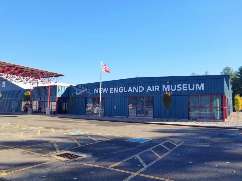
3. The New England Air Museum
Credits. This page was last revised on May 19, 2026. It was originally submitted on November 17, 2018, by Michael Herrick of Southbury, Connecticut. This page has been viewed 264 times since then and 14 times this year. Photos: 1, 2, 3. submitted on November 17, 2018, by Michael Herrick of Southbury, Connecticut.
