Sugar Creek in Charlotte in Mecklenburg County, North Carolina — The American South (South Atlantic)
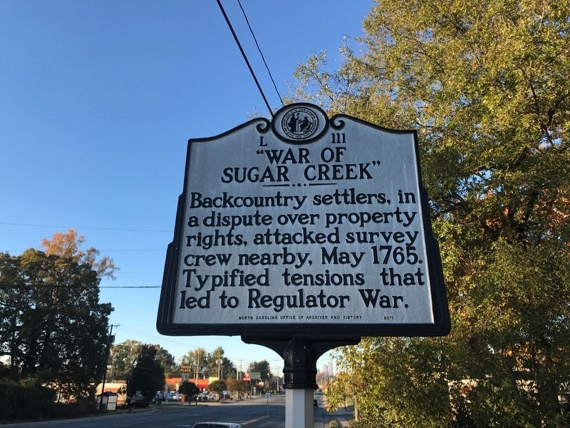
"War of Sugar Creek"
Erected 2011 by North Carolina Office of Archives and History. (Marker Number L-111.)
Topics and series. This historical marker is listed in these topic lists: Colonial Era • Settlements & Settlers. In addition, it is included in the North Carolina Division of Archives and History series list. A significant historical year for this entry is 1765.
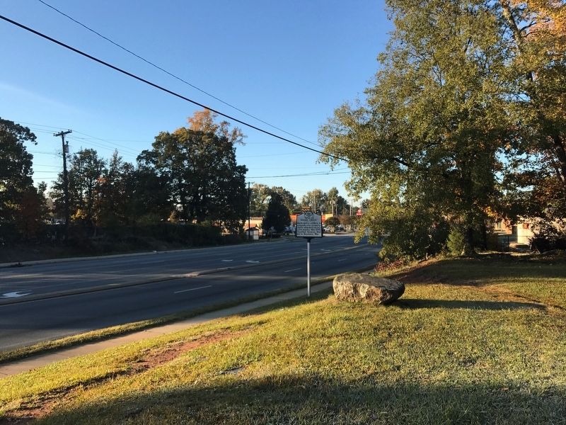
Location. 35° 15.486′ N, 80° 47.754′ W. Marker is in Charlotte, North Carolina, in Mecklenburg County. It is in Sugar Creek. Marker is on N. Tryon St. (U.S. 29) 0.1 miles Sugar Creek Rd., on the left when traveling north. Touch for map. Marker is at or near this postal address: 101 W Sugar Creek Rd, Charlotte NC 28206, United States of America. Touch for directions.
Other nearby markers. At least 8 other markers are within 3 miles of this marker, measured as the crow flies. Major Joseph Graham (about 500 feet away, measured in a direct line); Sugaw Creek Presbyterian Church (approx. 0.4 miles away); John Gibbon (approx. 0.8 miles away); VFW Post 9488 Veterans Memorial (approx. 1˝ miles away); Bishop John C. Kilgo House (approx. 2 miles away); Hezekiah Alexander House (approx. 2.3 miles away); Victoria (approx. 2˝ miles away); Memorial to Lieut. Col. George Locke (approx. 2˝ miles away). Touch for a list and map of all markers in Charlotte.
Also see . . . War of the Regulation - Wikipedia. (Submitted on November 26, 2018, by Bill Pfingsten of Bel Air, Maryland.)
Credits. This page was last revised on February 3, 2023. It was originally submitted on November 20, 2018, by S. C. McCullough of Charlotte, North Carolina. This page has been viewed 544 times since then and 54 times this year. Photos: 1, 2. submitted on November 20, 2018, by S. C. McCullough of Charlotte, North Carolina. • Bill Pfingsten was the editor who published this page.

