Elsdon in Northumberland, England, United Kingdom — Northwestern Europe (the British Isles)
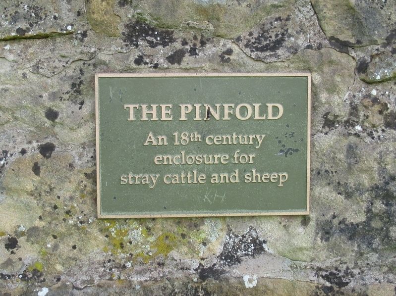
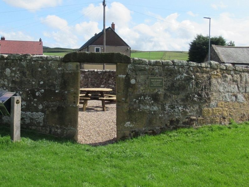
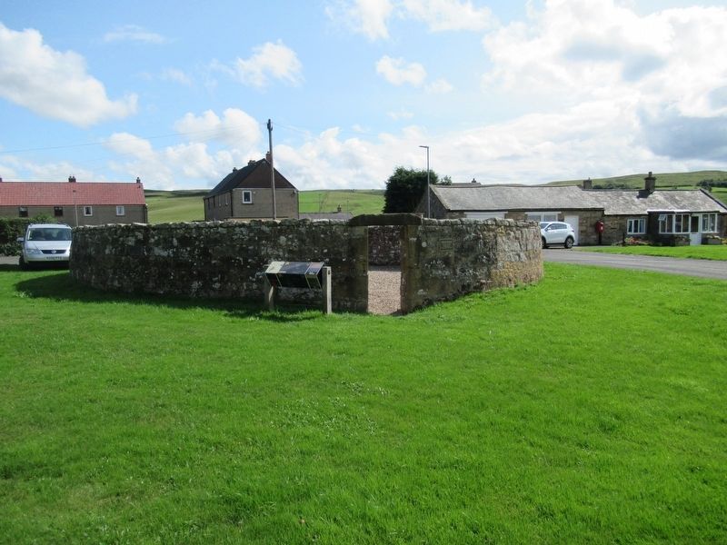
The Pinfold
An 18th century
enclosure for
stray cattle and sheep
Topics. This historical marker is listed in these topic lists: Agriculture • Animals.
Location. 55° 13.928′ N, 2° 6.078′ W. Marker is in Elsdon, England, in Northumberland. Marker is at the intersection of roas 68 and Crawford Cres, on the right when traveling north on roas 68. Touch for map. Marker is in this post office area: Elsdon, England NE19 1AA, United Kingdom. Touch for directions.
Other nearby markers. At least 2 other markers are within 16 kilometers of this marker, measured as the crow flies. Armstrong Cross (approx. 14.8 kilometers away); Rothbury War Memorial (approx. 14.8 kilometers away).
Credits. This page was last revised on January 27, 2022. It was originally submitted on November 22, 2018, by Michael Herrick of Southbury, Connecticut. This page has been viewed 106 times since then and 4 times this year. Photos: 1, 2, 3. submitted on November 22, 2018, by Michael Herrick of Southbury, Connecticut.


