Deadwood in Lawrence County, South Dakota — The American Midwest (Upper Plains)
Black Hills Trust and Savings Bank
National Register of Historic Places
Photographed by Cosmos Mariner, July 11, 2018
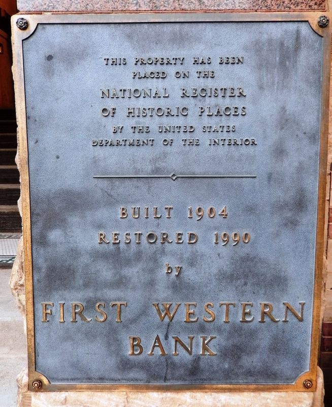
1. Black Hills Trust and Savings Bank Marker
placed on the
National Register
of Historic Places
by the United States
Department of the Interior
Built 1904
Restored 1990
by
First Western
Bank
Topics. This historical marker is listed in these topic lists: Architecture • Industry & Commerce. A significant historical year for this entry is 1904.
Location. 44° 22.579′ N, 103° 43.864′ W. Marker is in Deadwood, South Dakota, in Lawrence County. It is at the intersection of Main Street and Deadwood Street, on the right when traveling south on Main Street. Marker is a large metal plaque, mounted at eye-level, directly on subject building, at the base of the column near the northeast corner, facing Main Street. Touch for map. Marker is at or near this postal address: 696 Main Street, Deadwood SD 57732, United States of America. Touch for directions.

Regionally, this marker is in West River. It is also in the American Black Hills, in the Lewis & Clark Corridor, on the prairies, and on the Northern Plains. Globally, it is in North America, the Western Hemisphere, the Western World, and the Anglosphere. Historically, it finds itself in what
this page online
Other nearby markers. At least 8 other markers are within walking distance of this marker: Deadwood’s Grand Bandstand (within shouting distance of this marker); The Legend Begins… (within shouting distance of this marker); Waite Block Annex (within shouting distance of this marker); History Buried Beneath Your Feet (within shouting distance of this marker); Deadwood's Carnegie Library (within shouting distance of this marker); Jack McCall Capture Site (within shouting distance of this marker); Serving the Black Hills (about 300 feet away, measured in a direct line); St. Johns Episcopal Church, Est. 1880 (about 300 feet away). Touch for a list and map of all markers in Deadwood.
Other markers no longer nearby. Generations of Change (was a few steps from this marker but has been permanently removed); Ride High, T.C., Ride High (was a few steps from this marker but has been permanently removed).
Photographed by Cosmos Mariner, July 11, 2018
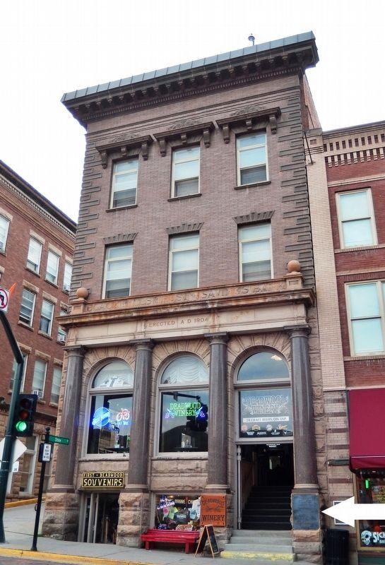
2. Black Hills Trust and Savings Bank (tall view; marker at base of rightmost column)
Photographed by Cosmos Mariner, July 11, 2018
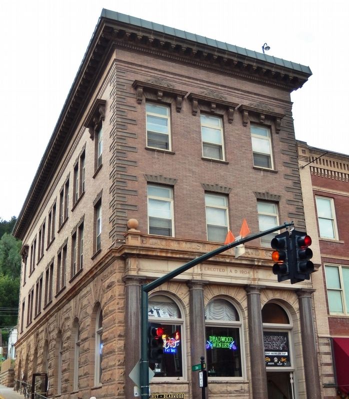
3. Black Hills Trust and Savings Bank (southeast corner view)
Photographed by Cosmos Mariner, July 13, 2018
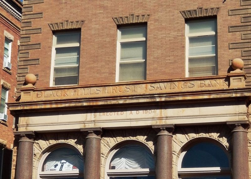
4. Black Hills Trust and Savings Bank (front detail view)
Photographed by Cosmos Mariner, July 13, 2018
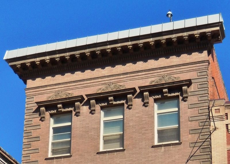
5. Black Hills Trust and Savings Bank (cornice detail view)
Credits. This page was last revised on November 27, 2018. It was originally submitted on November 23, 2018, by Cosmos Mariner of Cape Canaveral, Florida. This page has been viewed 672 times since then and 38 times this year. Photos: 1, 2, 3, 4, 5. submitted on November 26, 2018, by Cosmos Mariner of Cape Canaveral, Florida. • Bill Pfingsten was the editor who published this page.
