Amityville in Suffolk County, New York — The American Northeast (Mid-Atlantic)
Ireland's Mill
Photographed by Andrew Ruppenstein, November 21, 2018
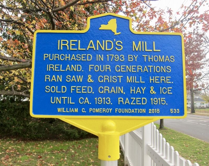
1. Ireland's Mill Marker
Purchased in 1793 by Thomas Ireland. Four generations ran saw & grist mill here. Sold feed, grain, hay & ice until ca. 1913. Razed 1915.
Erected 2018 by William G. Pomeroy Foundation. (Marker Number 533.)
Topics and series. This historical marker is listed in this topic list: Industry & Commerce. In addition, it is included in the William G. Pomeroy Foundation series list. A significant historical year for this entry is 1793.
Location. 40° 40.231′ N, 73° 24.872′ W. Marker is in Amityville, New York, in Suffolk County. It is at the intersection of Merrick Road and Ocean Avenue, on the right when traveling west on Merrick Road. Touch for map. Marker is at or near this postal address: 190 Merrick Road, Amityville NY 11701, United States of America. Touch for directions.

Regionally, this marker is in the New York City Metropolitan Area and on Long Island. It is also in the American Northeast, in the Mid-Atlantic, and on the Eastern Seaboard. Globally, it is in the North Atlantic Region, North America, the Western Hemisphere, the Western World, and the Anglosphere. Historically, it finds itself in what was once New Netherland and also one of the original Thirteen Colonies.
Other nearby markers. At least 8 other markers are within walking distance of this marker: Walt Whitman (approx. 0.3 miles away); Naomi W. Griffiths
this page online
Photographed by Andrew Ruppenstein, November 21, 2018
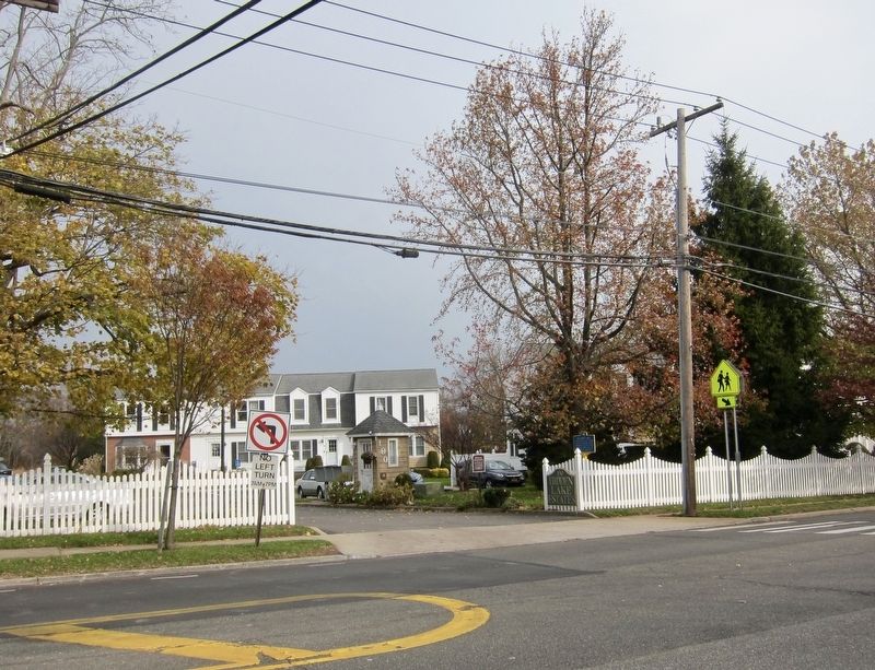
2. Ireland's Mill Marker - wide view, looking north across Merrick Road
Photographed by Andrew Ruppenstein, November 21, 2018
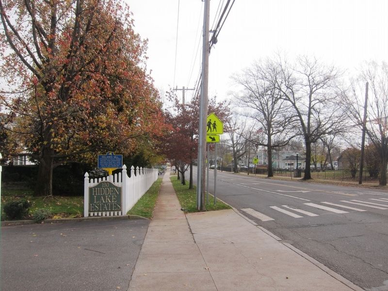
3. Ireland's Mill Marker - wide view, looking east on Merrick Road
Credits. This page was last revised on November 26, 2018. It was originally submitted on November 26, 2018, by Andrew Ruppenstein of Lamorinda, California. This page has been viewed 676 times since then and 39 times this year. Photos: 1, 2, 3. submitted on November 26, 2018, by Andrew Ruppenstein of Lamorinda, California.
