French Quarter in New Orleans in Orleans Parish, Louisiana — The American South (West South Central)
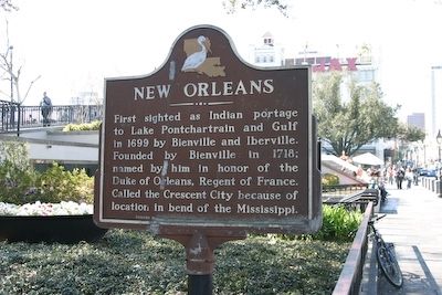
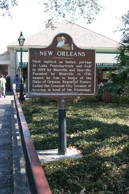
New Orleans
Erected 1968 by Louisiana Tourist Development Commission.
Topics. This historical marker is listed in these topic lists: Notable Places • Settlements & Settlers • Waterways & Vessels. A significant historical year for this entry is 1699.
Location. 29° 57.438′ N, 90° 3.725′ W. Marker is in New Orleans, Louisiana, in Orleans Parish. It is in the French Quarter. Marker is on Decatur Street south of St Ann Street, on the right when traveling north. Touch for map. Marker is in this post office area: New Orleans LA 70116, United States of America. Touch for directions.
Other nearby markers. At least 8 other markers are within walking distance of this marker. Café Du Monde (within shouting distance of this marker); The Washington Artillery Park (within shouting distance of this marker); Woldenberg Riverfront Park (within shouting distance of this marker); The Steamer New Orleans (within shouting distance of this marker); Execution of Jean Baptiste Baudrau II (about 300 feet away, measured in a direct line); Transatlantic Slave Trade to Louisiana (about 300 feet away); Evans Creole Candy Factory (about 400 feet away); Jackson Square - Vieux Carré (about 400 feet away). Touch for a list and map of all markers in New Orleans.
Credits. This page was last revised on February 12, 2023. It was originally submitted on October 19, 2008, by R. E. Smith of Nashville, Tennessee. This page has been viewed 2,270 times since then and 165 times this year. Photos: 1, 2. submitted on October 19, 2008, by R. E. Smith of Nashville, Tennessee. • Kevin W. was the editor who published this page.

