Greenwood Heights in Brooklyn in Kings County, New York — The American Northeast (Mid-Atlantic)
New York City Airliner Disaster
Photographed by Larry Gertner, October 30, 2016
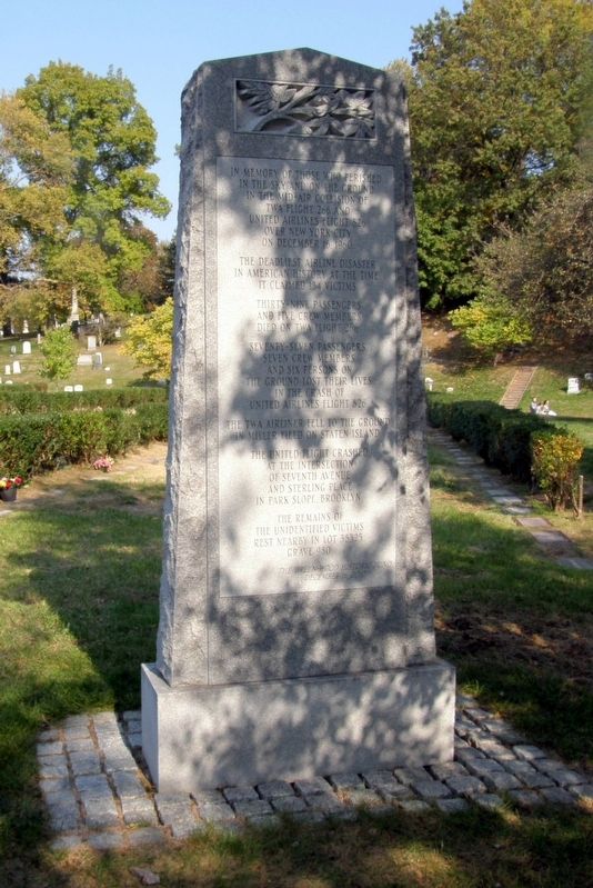
1. New York City Airliner Disaster Marker
In memory of those who perished in the sky and on the ground in the mid-air collision of TWA Flight 266 and United Airlines Flight 826 over New York City on December 16, 1960.
The deadliest airline disaster in American history at the time. It claimed 134 victims.
Thirty-nine passengers and five crew members died on TWA Flight 266.
Seventy-seven passengers, seven crew members and six persons on the ground lost their lives in the crash of United Airlines Flight 826.
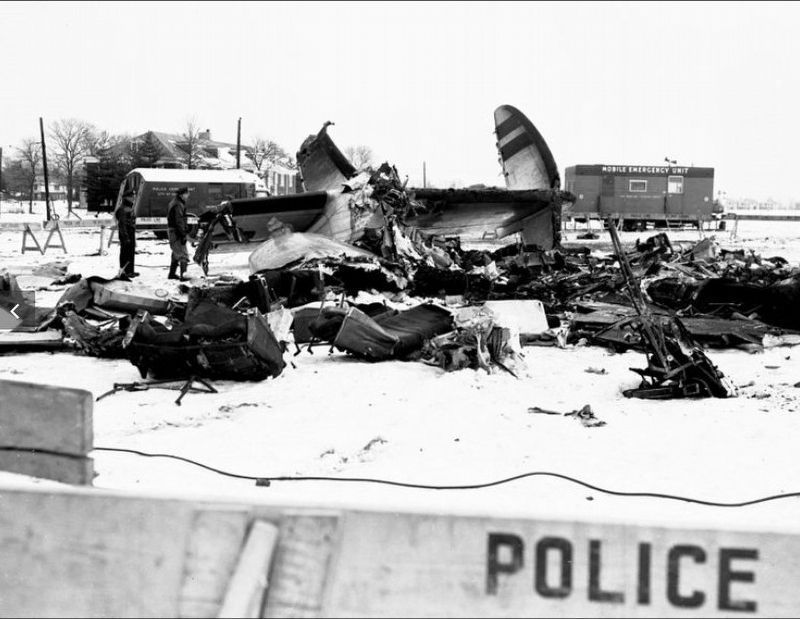
The TWA airliner fell to the ground in Miller Field on Staten Island.
The United flight crashed at the intersection of Seventh Avenue and Sterling Place in Park Slope in Brooklyn.
The remains of the unidentified victims rest nearby in Lot 38325 Grave 980.
The Green-Wood Historical Fund
December 2010
Erected 2010 by The Green-Wood Historical Fund.
Topics. This historical marker is listed in these topic lists: Air & Space • Disasters. A significant historical date for this entry is December 16, 1960.
Location. 40° 39.272′ N, 73° 59.955′ W. Marker is in Brooklyn, New York, in Kings County. It is in Greenwood Heights. It can be reached from Sylvan Avenue. Located on Sylvan Avenue near Sylvan Water in Green-Wood Cemetery. Touch for map. Marker is in this post office area: Brooklyn NY 11232, United States of America. Touch for directions.

Regionally, this marker is in New York City and on Long Island. It is also in the American Northeast, in the Mid-Atlantic, and on the Eastern Seaboard. Globally, it is in the North Atlantic Region, North America, the Western Hemisphere, the Western World, and the Anglosphere. Historically, it finds itself in what was once New Netherland and also one of the original Thirteen Colonies.
Other nearby markers. At least 8 other markers are within walking distance of this marker: “The Greeter” / John Coleman / George Catlin (about 600 feet away, measured in a direct line); The Green-Wood Cemetery (about 600 feet away); Martense Lane Rock (approx. 0.2 miles away); Korean War Irish Memorial (approx. 0.2 miles away); The Delaware Regiment
this page online
Regarding New York City Airliner Disaster. The United aircraft was a Douglas DC-8, and the TWA aircraft was a Lockheed Super Constellation.
The likely cause of the accident was identified in a report by the U.S. Civil Aeronautics Board:
United Flight 826 proceeded beyond its clearance limit and the confines of the airspace allocated to the flight by Air Traffic Control. A contributing factor was the high speed of the United flight.
Also see . . .
1. 1960 New York mid-air collision. Wikipedia entry (Submitted on August 12, 2026, by Larry Gertner of New York, New York.)
2. The Day the Boy Fell From the Sky. New York Times, March 24, 2002 (Submitted on August 12, 2026, by Larry Gertner of New York, New York.)
Photographed by Larry Gertner, October 30, 2016
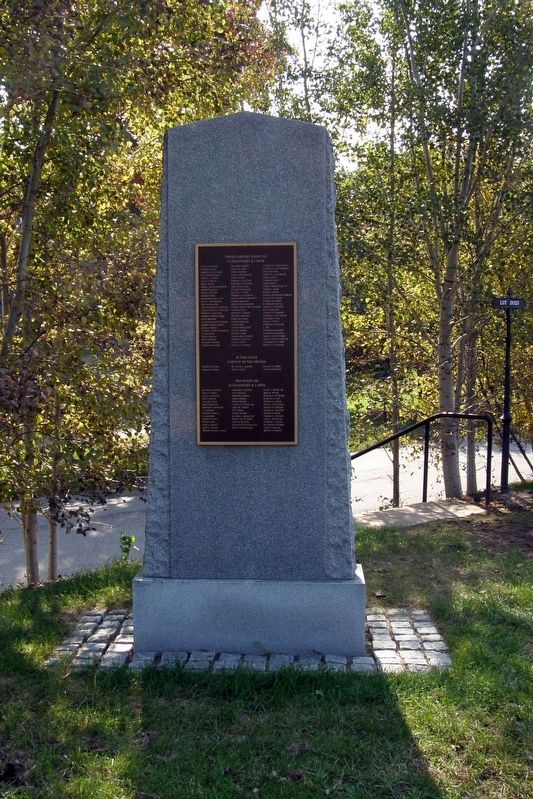
2. New York City Airliner Disaster Marker
Reverse side
Photographed by Larry Gertner, October 30, 2016
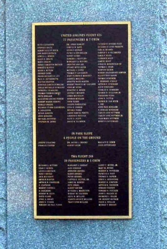
3. New York City Airliner Disaster Marker
The plaque lists the names of all the victims.
1960
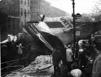
4. United flight wreckage in Park Slope
1960
5. TWA flight wreckage at Miller Field
Credits. This page was last revised on August 12, 2026. It was originally submitted on November 27, 2018, by Larry Gertner of New York, New York. This page has been viewed 1,486 times since then and 100 times this year. Photos: 1, 2, 3, 4, 5. submitted on November 27, 2018, by Larry Gertner of New York, New York. • Andrew Ruppenstein was the editor who published this page.
Editor’s want-list for this marker. A wide-view photo of the marker and its surroundings showing its location. • Can you help?
