
Nissequogue in Suffolk County, New York — The American Northeast (Mid-Atlantic)
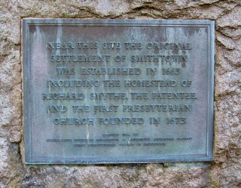
Original Settlement of Smithtown
Photographed by Andrew Ruppenstein, November 22, 2018
1. Original Settlement of Smithtown Marker
Erected 1962 by Nissequogue Cemetery Association, Smithtown Historical Society, First Presbyterian Church of Smithtown.
Topics. This historical marker is listed in this topic list: Settlements & Settlers. A significant historical year for this entry is 1665.
Location. 40° 53.967′ N, 73° 12.098′ W. Marker is in Nissequogue, New York, in Suffolk County. It is at the intersection of Moriches Road and River Road, on the left when traveling west on Moriches Road. Touch for map. Marker is in this post office area: Saint James NY 11780, United States of America. Touch for directions.

Regionally, this marker is in the New York City Metropolitan Area and on Long Island. It is also in the American Northeast, in the Mid-Atlantic, and on the Eastern Seaboard. Globally, it is in the North Atlantic Region, North America, the Western Hemisphere, the Western World, and the Anglosphere. Historically, it finds itself in what was once New Netherland
this page online
Other nearby markers. At least 8 other markers are within 3 miles of this marker, measured as the crow flies: Nissequogue School (approx. 0.3 miles away); Home of Obadiah Smith (approx. 1½ miles away); St. Johnland (approx. 2.2 miles away); Suffrage Tour (approx. 2½ miles away); Smith's Bull Ride (approx. 2.9 miles away); Smithtown Bull (approx. 2.9 miles away); Train Station (approx. 2.9 miles away); Patriot Burials (approx. 3 miles away).
Also see . . . Town Historian Bradley Harris On Smithtown's Founder Richard Smythe (Smithtown Matters, 1/13/2014). (Submitted on November 28, 2018.)
Photographed by Andrew Ruppenstein, November 22, 2018
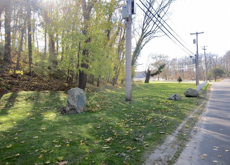
2. Original Settlement of Smithtown Marker - wide view
Looking west along Moriches Road, with the turnoff onto River Road visible in the distance.
Credits. This page was last revised on November 28, 2018. It was originally submitted on November 28, 2018, by Andrew Ruppenstein of Lamorinda, California. This page has been viewed 580 times since then and 43 times this year. Photos: 1, 2. submitted on November 28, 2018, by Andrew Ruppenstein of Lamorinda, California.
