Newcastle upon Tyne in Tyne and Wear, England, United Kingdom — Northwestern Europe (the British Isles)
The Swing Bridge
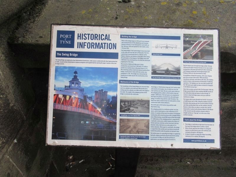
Port of Tyne Historical Information
The Swing Bridge
The Swing Bridge was built by the Tyne Improvement Commission, under powers conferred by the Tyne Improvement Act of 1861, as part of their overall plan to improve navigation and expand trade by opening the upper reaches of the river to larger vessels.
Building the bridge
Work on the bridge began in 1873 and it was designed and constructed by Sir W.G. Armstrong and Company Limited of Elswick. It was first used for road traffic on the 15th June 1876 and opened for river traffic on the17th July 1876.
The Swing Bridge is the fourth bridge to have been built on the same site over the Tyne at Newcastle. The first, constructed of wood and stone in c120 A.D. by the Emperor Hadrian, was known as Pons Aelii, Aelius being the patronymic of the Emperor. This bridge stood until1248 when it was destroyed by a fire that also destroyed a great part of the town.
The second or Medieval Bridge was of stone construction and stood from 1320 until 1771 when a section was washed away in the great flood of 1771. The remaining portions had to be removed and the third bridge, constructed of stone with nine arches, was completed in 1781. This bridge was removed by the Commission to make way for the construction of the Swing Bridge.
Mechanics of the Bridge
The foundations of the Swing Bridge are concrete filled cast iron cylinders set in bed rock with granite piers resting upon the cylinders at a little above the height of low water. The weight of the swinging portion of the bridge is carried by the centre pier.
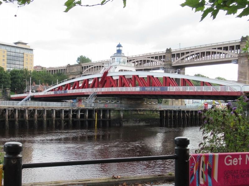
The bridge is 170.68 metres long and 14.47 metres wide and consists of six spans, four of which are over the river and two over land. The two centre spans make up the swinging portion, which is 85.64 metres long and weighs 1,300 tonnes. The land spans are composed of five main iron girders of arched form, the north span being 11.6 metres long and the south 10 metres. The fixed river spans consist of two iron main girders of box construction with riveted stiffeners. The north span is 32.6 metres long and the south26.8 metres long.
The swinging portion is a continuous girder over two spans, each of which gives a clear waterway of 31.4 metres. It consists of two main iron girders of triangular construction with curved top boom and a straight bottom boom. When turning, around 900 tonnes of the total weight of 1,300 tonnes of the swinging portion is supported by a hydraulic centre press, which reduces the effects of friction and wear and tear on the forty-two 9,144 mm diameter rollers that turn on a roller path of 13.1 metres diameter. When open to road traffic, the bridge is supported at the end by cast iron blocks moved and locked into position under the girders by hydraulic rams.
The motive power for operating the bridge is supplied by hydraulic engines worked by electrically driven pumps to a pressure of 49kg cm2 and all machinery is duplicated as an insurance against breakdowns.
The first ship to pass through the bridge on the 17th July 1876 was the Italian Transport Europa on her way to take on board the 100 tonnes gun built by Sir W.G. Armstrong and Company Limited who had designed Engine and Ordnance Works for the Government of Italy.
An eyewitness of that first opening, a Mr. James Clephan gave this account of the event "With marvellous smoothness and ease, and silent as the stars, the roadway parted in twain, in the presence of thousands of admiring spectators. The highway over the river went asunder that the 100 tonnes gun might be taken on board for transport to the Mediterranean Sea."
Since that occasion and up to the 31st December 1981 the Bridge opened 286,281 times enabling 448,090 vessels of over 220 million total net tonnes to pass through. In contrast, today the Bridge opens once per month for maintenance swings.
The largest ship to pass through was the M.V. Fernmount of 5,000 tonnes net in 1952, using the southern channel. Normally, ships passing up river use the northern'channel and ships passing down river use the southern channel. However, when ships are above a certain size, special dispensation is given by the Harbour Master to the Master of the vessel to use the southern channel, which is straight and has no "dog-leg" as in the case of the northern channel.
Facts about the Bridge
• The bridge is controlled at high level from the tower on the top of the bridge which is called a cupola
• When vessels approach the bridge it is swung 90 degrees to allow them to pass and continues anti clockwise through to 180 degrees. • It takes 6 minutes to swing the bridge from belng stationary if it is rotated 180 degrees.
www.portoftyne.co.uk
( photo captions )
- Swing Bridge over River Tyne in 1910
- Opening the upper reaches of the river to larger vessels, helping to expand trade
- Swing Bridge plans
- The Tyne Bridge under construction in February 1928
- Swing Bridge today still in full working order
Topics. This historical marker is listed in this topic list: Bridges & Viaducts. A significant historical month for this entry is February 1928.
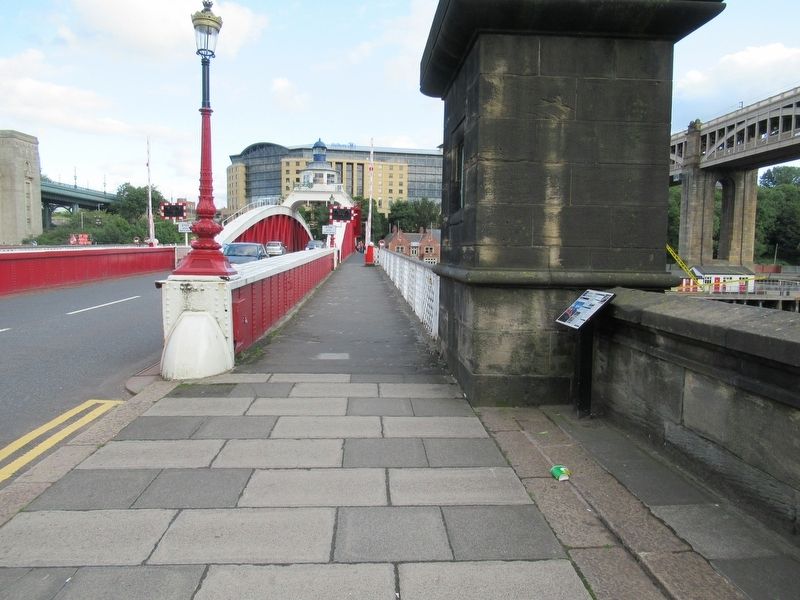
Location. 54° 58.076′ N, 1° 36.503′ W. Marker is in Newcastle upon Tyne, England, in Tyne and Wear. Marker is on Bridge Street close to Hadrian’s Wall Path, on the right when traveling south. Touch for map . Marker is in this post office area: Newcastle upon Tyne, England NE1 3RG, United Kingdom. Touch for directions.
Other nearby markers. At least 8 other markers are within walking distance of this marker. Newcastle Swing Bridge (here, next to this marker); Roman Bridge Across the Tyne (within shouting distance of this marker); Cutty Sark Tall Ships' Races (within shouting distance of this marker); Bessy Surtees (within shouting distance of this marker); Lort Burn (about 90 meters away, measured in a direct line); The Guildhall (about 90 meters away); Freemen of Newcastle upon Tyne (about 90 meters away); a different marker also named The Guildhall (about 90 meters away). Touch for a list and map of all markers in Newcastle upon Tyne.
Also see . . . Swing Bridge, River Tyne on Wikipedia. (Submitted on November 28, 2018, by Michael Herrick of Southbury, Connecticut.)
Credits. This page was last revised on January 27, 2022. It was originally submitted on November 28, 2018, by Michael Herrick of Southbury, Connecticut. This page has been viewed 163 times since then and 8 times this year. Photos: 1, 2, 3. submitted on November 28, 2018, by Michael Herrick of Southbury, Connecticut.


