Islip in Suffolk County, New York — The American Northeast (Mid-Atlantic)
Brookville
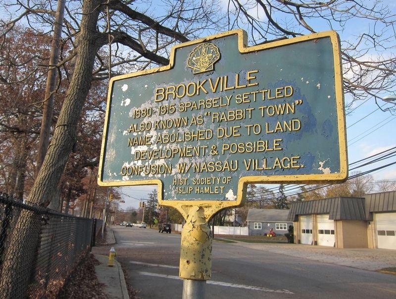
Photographed by Andrew Ruppenstein, November 21, 2018
1. Brookville Marker
Erected by Historical Society of Islip Hamlet.
Topics. This historical marker is listed in this topic list: Settlements & Settlers.
Location. 40° 44.658′ N, 73° 13.141′ W. Marker is in Islip, New York, in Suffolk County. It is on Commack Road south of 47th Street, on the left when traveling north. Touch for map. Marker is in this post office area: Islip NY 11751, United States of America. Touch for directions.

Regionally, this marker is in the New York City Metropolitan Area and on Long Island. It is also in the American Northeast, in the Mid-Atlantic, and on the Eastern Seaboard. Globally, it is in the North Atlantic Region, North America, the Western Hemisphere, the Western World, and the Anglosphere. Historically, it finds itself in what was once New Netherland and also one of the original Thirteen Colonies.
Other nearby markers. At least 8 other markers are within one mile of this marker, measured as the crow flies:
this page online
Also see . . . Historic Markers (Historical Society of Islip Hamlet). A listing of the Society's markers - click on the "Brookville" button for more information on this particular marker. (Submitted on November 28, 2018.)
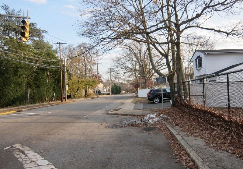
Photographed by Andrew Ruppenstein, November 21, 2018
2. Brookville Marker - wide view, looking south on Commack Road
Credits. This page was last revised on November 23, 2021. It was originally submitted on November 28, 2018, by Andrew Ruppenstein of Lamorinda, California. This page has been viewed 422 times since then and 35 times this year. Photos: 1, 2. submitted on November 28, 2018, by Andrew Ruppenstein of Lamorinda, California.
