Buthrotum in Sarandë District, Vlorë, Albania — Southeastern Europe (Balkan Peninsula)
The Lion Gate
Porta e Luanit
Photographed by Barry Swackhamer, July 23, 2018
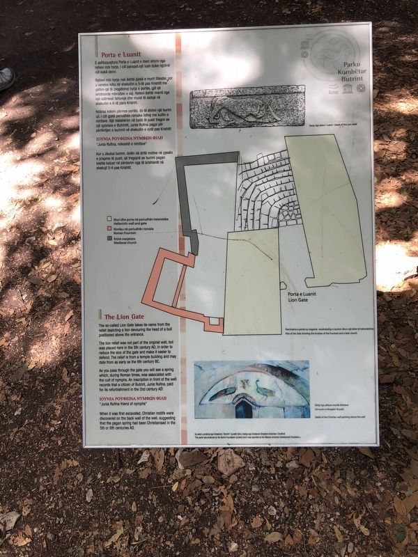
1. The Lion Gate Marker
Captions: (upper right) Detail of the Lion relief; (center right) Plan of the Gate showing the location of the Fountain and a later church; (Legend) Yellow; Hellenistic wall and gate, Pink: Roman Fountain, Gray: Medieval church; (bottom right) Detail of the Christian wall painting above the well.
English:
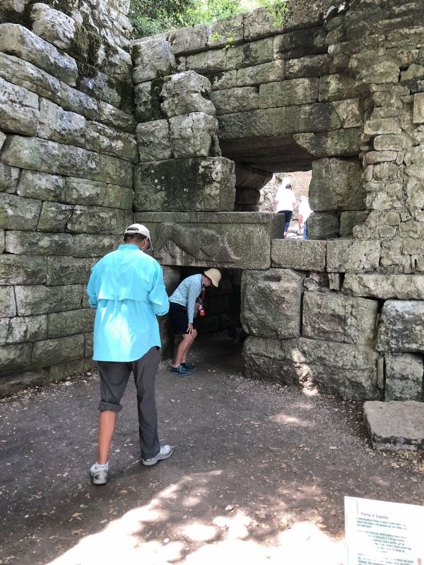
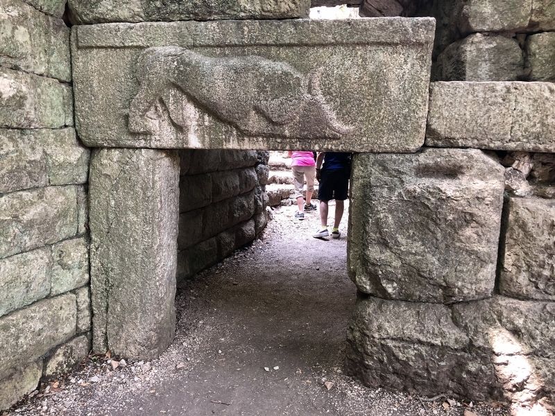
The so-called Lion Gate takes its name from the relief depicting a lion devouring the head of a bull positioned above the entrance.
The lion relief was not part of the original wall, but was placed here in the 5th century AD, in order to reduce the size of the gate and make it easier to defend. The relief is from a temple building and may date as early as the 6th century BC.
As you pass through the gate you will see a spring which, during Roman times, was associated with the cult of nymphs. An inscription in front of the well records that a citizen of Butrint, June Rufina, paid for its refurbishment in the 2nd century AD:
"Junia Rufina friend of nymphs"
this page online
Erected by Parku Kombëtar Butrint and Albanian American Development Foundation.
Topics. This historical marker is listed in these topic lists: Forts and Castles • Religion & Religious Structures • Settlements & Settlers.
Location. 39° 44.868′ N, 20° 1.248′ E. Marker is in Buthrotum, Vlorë, in Sarandë District. It can be reached from Route SH81, on the left when traveling south. Touch for map. Marker is in this post office area: Buthrotum, Vlorë 9706, Albania. Touch for directions.

Regionally, it is in Europe, the Balkans, a coastal Mediterranean country, and the Western World. Historically, it finds itself in what was once the Byzantine Empire, the Ottoman Empire, and specifically the Roman Empire.
Other nearby markers. At least 8 other markers are within walking distance of this marker: The Roman Forum (about 180 meters away, measured in a direct line); The Great Basilica (approx. 0.2 kilometers away); The Expansion of Butrint (approx. 0.3 kilometers away); The Theatre (approx. 0.3 kilometers away); The Sanctuary of Asclepius (approx. 0.3 kilometers away);
Photographed by Barry Swackhamer, July 23, 2018
2. The Lion Gate
More about this marker. The marker is located in Butrint National Park, just north of the ferry on route SH81.
Photographed by Barry Swackhamer, July 23, 2018
3. The Lion Gate
Photographed by Barry Swackhamer, July 23, 2018
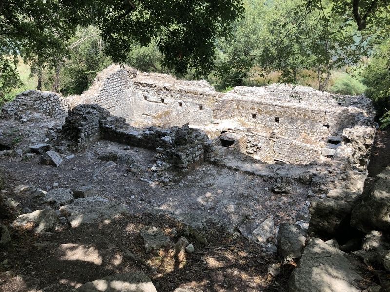
4. Butrint ruins
Credits. This page was last revised on January 25, 2022. It was originally submitted on November 30, 2018, by Barry Swackhamer of Brentwood, California. This page has been viewed 1,171 times since then and 116 times this year. Photos: 1, 2, 3, 4. submitted on November 30, 2018, by Barry Swackhamer of Brentwood, California.
