Three Forks in Gallatin County, Montana — The American West (Mountains)
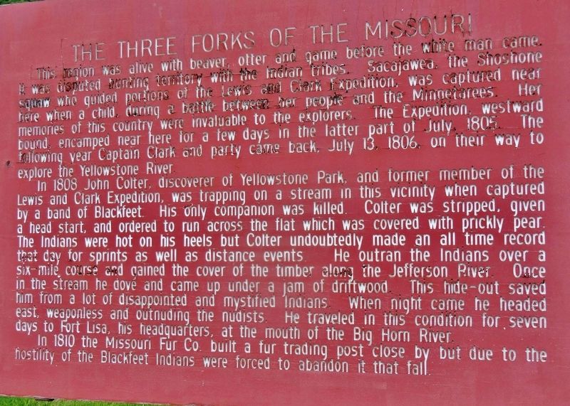
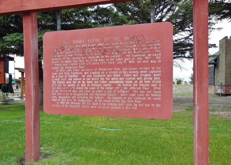
The Three Forks of the Missouri
In 1808 John Colter, discoverer of Yellowstone Park, and former member of the Lewis and Clark Expedition, was trapping on a stream in this vicinity when captured by a band of Blackfeet. His only companion was killed. Colter was stripped, given a head start, and ordered to run across the flat which was covered with prickly pear. The Indians were hot on his heels but Colter undoubtedly made an all-time record that day for sprints as well as distance events. He outran the Indians over a six-mile course and gained the cover of the timber along the Jefferson River. Once in the stream he dove and came up under a jam of driftwood. This hide-out saved him from a lot of disappointed and mystified Indians. When night came he headed east, weaponless and outnuding the nudists. He traveled in this condition for seven days to Fort Lisa, his headquarters, at the mouth of the Big Horn River.
In 1810 the Missouri Fur Co. built a fur trading post close by but due to the hostility of the Blackfeet Indians were forced to abandon it that fall.
Topics and series. This historical marker is listed in these topic lists: Exploration • Native Americans. In addition, it is included in the Lewis & Clark Expedition series list.
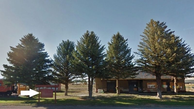
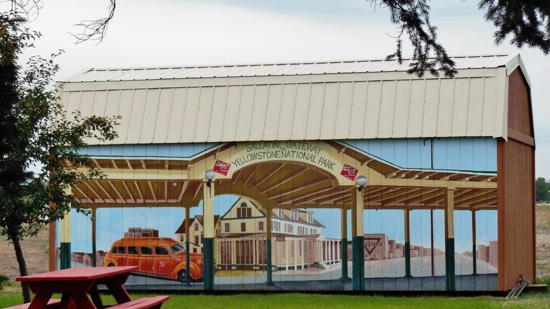
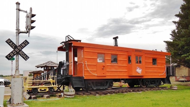
Location. 45° 53.799′ N, 111° 33.064′ W. Marker is in Three Forks, Montana, in Gallatin County. Marker is at the intersection of North Main Street (Frontage Road) (State Highway 2) and North 1st Avenue East, on the left when traveling north on North Main Street (Frontage Road). Marker is located on the west side of the highway, in a small park near the Three Forks Visitor Information Center and the old Three Forks Railroad Depot. Touch for map. Marker is in this post office area: Three Forks MT 59752, United States of America. Touch for directions.
Other nearby markers. At least 8 other markers are within walking distance of this marker. Headwaters of the Missouri River (a few steps from this marker); Native Americans (within shouting distance of this marker); European Interest in the Missouri (within shouting distance of this marker); Fur Trade (within shouting distance of this marker); Louisiana Purchase - 1803 (within shouting distance of this marker); Lewis & Clark Arrive at the Headwaters July, 1805 (within shouting distance of this marker); The Fur Trapper (within shouting distance of this marker); Colter's Run 1808 (within shouting distance of this marker). Touch for a list and map of all markers in Three Forks.
More about this marker. This is a large, engraved and painted wooden "billboard-style" marker in a tall, heavy-duty wooden frame.
Also see . . . Three Forks, Montana. The three rivers, west to east, were named by Meriwether Lewis in late July 1805 for President Thomas Jefferson, Secretary of State James Madison, and Treasury Secretary Albert Gallatin which was in the times the genesis of a mild controversy and eventually spawned a modern day geographical controversy—in both cases regarding length comparisons between the Missouri and Mississippi rivers. One consequence of their decision to designate, map and name the Jefferson—the largest— as a separate tributary river, is that today the Mississippi river can arguably be called longer than the Missouri river because extensive re-channelization of the streambed for hydroelectric power projects has shortened the river while the Mississippi Delta has grown lengthening the rival river. (Submitted on December 3, 2018, by Cosmos Mariner of Cape Canaveral, Florida.)
Credits. This page was last revised on December 9, 2018. It was originally submitted on December 1, 2018, by Cosmos Mariner of Cape Canaveral, Florida. This page has been viewed 325 times since then and 37 times this year. Photos: 1, 2, 3, 4, 5. submitted on December 3, 2018, by Cosmos Mariner of Cape Canaveral, Florida. • Bill Pfingsten was the editor who published this page.
