Edinburgh, Scotland, United Kingdom — Northwestern Europe (the British Isles)
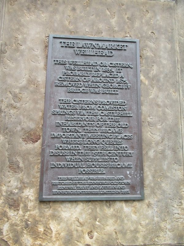
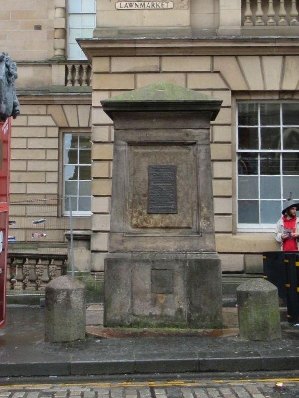
The Lawnmarket Wellhead
Wellhead
The cisterns provided water from Comiston Springs via the Castlehill Reservoir for the inhabitants of the Old Town, they became important meeting places where long queues formed. They fell into disuse in the 19th century when supplies to individual houses became possible.
This wellhead was repaired and restored by the Edinburgh Old Town Renewal Trust and Lothian and Edinburgh Enterprise Limited in 1997.
Topics. This historical marker is listed in this topic list: Landmarks. A significant historical year for this entry is 1835.
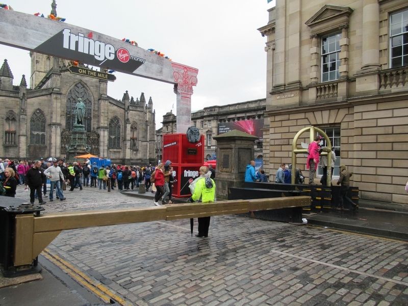
Location. 55° 56.968′ N, 3° 11.53′ W. Marker is in Edinburgh, Scotland. Marker is at the intersection of Royal Mile and W Parliament Square, on the right when traveling east on Royal Mile. Touch for map. Marker is in this post office area: Edinburgh, Scotland EH1 1PW, United Kingdom. Touch for directions.
Other nearby markers. At least 8 other markers are within walking distance of this marker. Deacon Brodie’s (within shouting distance of this marker); Advocate's Close (within shouting distance of this marker); James Braidwood (about 120 meters away, measured in a direct line); Alexander & Bucephalus (about 150 meters away); Lodging of Sir Simon Preston (about 150 meters away); Adam Smith (about 150 meters away); Edinburgh Municipal Building (about 150 meters away); The City Chambers (about 150 meters away). Touch for a list and map of all markers in Edinburgh.
Also see . . . Royal Mile on Wikipedia. (Submitted on December 1, 2018, by Michael Herrick of Southbury, Connecticut.)
Credits. This page was last revised on January 27, 2022. It was originally submitted on December 1, 2018, by Michael Herrick of Southbury, Connecticut. This page has been viewed 161 times since then and 18 times this year. Photos: 1, 2, 3. submitted on December 1, 2018, by Michael Herrick of Southbury, Connecticut.


