
Natchez in Adams County, Mississippi — The American South (East South Central)
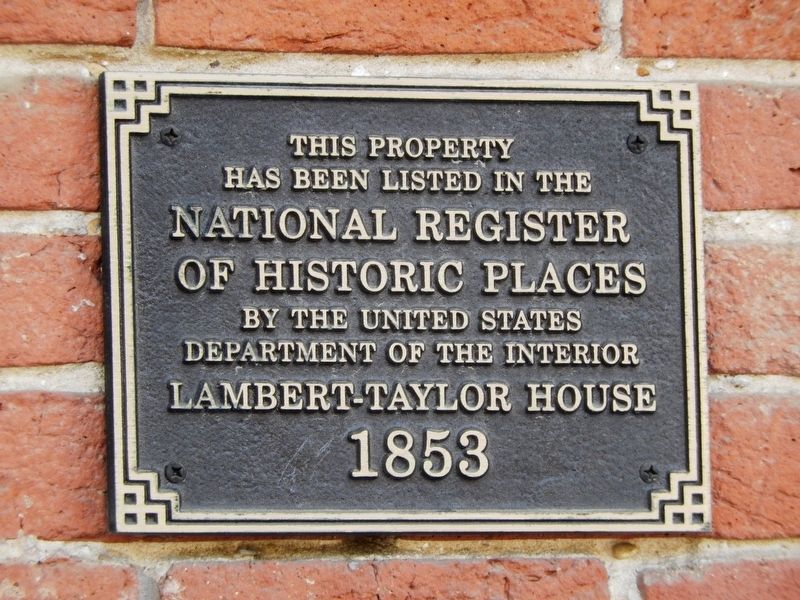
Lambert-Taylor House
1853
Photographed by Cosmos Mariner, May 22, 2014
1. Lambert-Taylor House Marker
has been listed in the
National Register
of Historic Places
by the United States
Department of the Interior
Topics. This historical marker is listed in these topic lists: Architecture • Settlements & Settlers. A significant historical year for this entry is 1853.
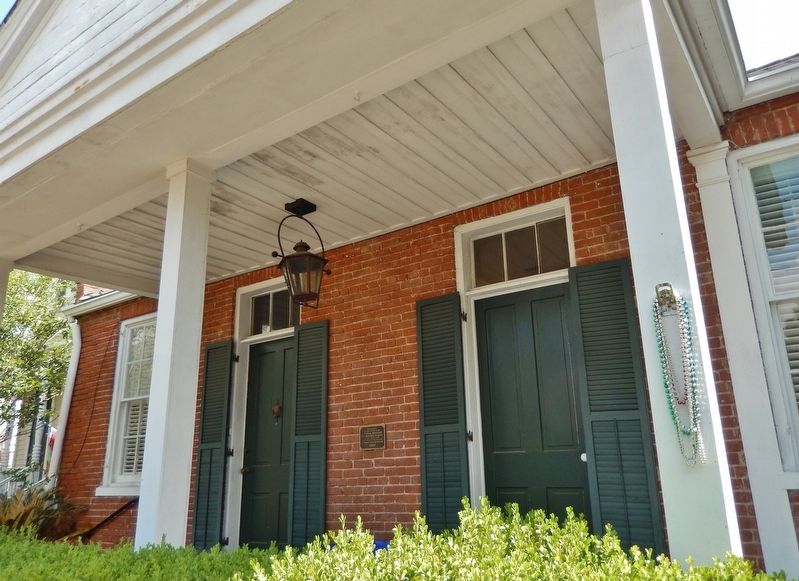
Location. 31° 33.464′ N, 91° 24.116′ W. Marker is in Natchez, Mississippi, in Adams County. It is on State Street east of South Union Street, on the left when traveling east. Marker is a large metal plaque, mounted at eye-level, directly on the subject building, between the front doors, facing State Street. Touch for map. Marker is at or near this postal address: 609 State Street, Natchez MS 39120, United States of America. Touch for directions.

Regionally, this marker is in Southwest Mississippi and in Natchez Trace Corridor. It is also in the American South, specifically in the Deep South, and in the Great River Road Region. Globally, it is in North America, a Gulf of Mexico state, the Western Hemisphere, the Western World, and the Anglosphere. Historically, it finds itself in what was once New Spain, the Viceroyalty of New France,
this page online
Other nearby markers. At least 8 other markers are within walking distance of this marker: Immaculate Conception Shrine c. 1846 (about 300 feet away, measured in a direct line); Bishops' Prayer Garden (about 300 feet away); St. Mary's Cathedral (about 300 feet away); Intersection of Washington and South Rankin streets (about 400 feet away); Intersection of Washington and South Union streets (about 400 feet away); Intersection of Main and South Union Streets (about 400 feet away); This Cannon (about 400 feet away); Green Leaves (about 600 feet away). Touch for a list and map of all markers in Natchez.
Photographed by Cosmos Mariner, May 22, 2014
2. Lambert-Taylor House Marker (wide view; marker visible between doors)
Photographed by Cosmos Mariner, May 22, 2014
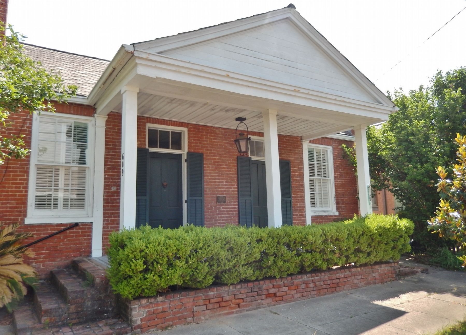
3. Lambert-Taylor House
Credits. This page was last revised on February 2, 2020. It was originally submitted on December 4, 2018, by Cosmos Mariner of Cape Canaveral, Florida. This page has been viewed 307 times since then and 21 times this year. Photos: 1. submitted on December 5, 2018, by Cosmos Mariner of Cape Canaveral, Florida. 2, 3. submitted on December 7, 2018, by Cosmos Mariner of Cape Canaveral, Florida. • Andrew Ruppenstein was the editor who published this page.
