Korčula in Opcina Korcula, Dubrovnik-Neretva, Croatia — Central and Southeastern Europe
The Town of Korčula
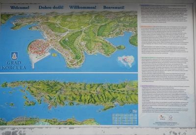
Grad Korčula
Photographed by Barry Swackhamer, July 27, 2018
1. The Town of Korčula Marker
Click on the image to enlarge it at read the Croatian, German and French texts.
The town of Korčula is rightly proud that stones-cutting and shipbuilding being through centuries the most important professions of the town as well as the preservation of its traditional dances: Moreška, Moštra and Kumpanija. The greatest world traveller,
this page online
Topics. This historical marker is listed in these topic lists: Architecture • Forts and Castles • Settlements & Settlers.
Location. 42° 57.648′ N, 17° 8.098′ E. Marker is in Korčula, Dubrovacko-neretvanska (Dubrovnik-Neretva), in Opcina Korcula. It is at the intersection of Obala Franje Tuđmana and Foša, on the right when traveling north on Obala Franje Tuđmana. Touch for map. Marker is in this post office area: Korčula, Dubrovacko-neretvanska 20260, Croatia. Touch for directions.

Regionally, it is in Europe, the European Union, the Schengen Area, a coastal Mediterranean country, and the Western World. Historically, it finds itself in what was once the Byzantine Empire, the Ottoman Empire, and specifically the Roman Empire.
Other nearby markers. At least 6 other markers are within 5 kilometers of this marker, measured as
Photographed by Barry Swackhamer, July 27, 2018
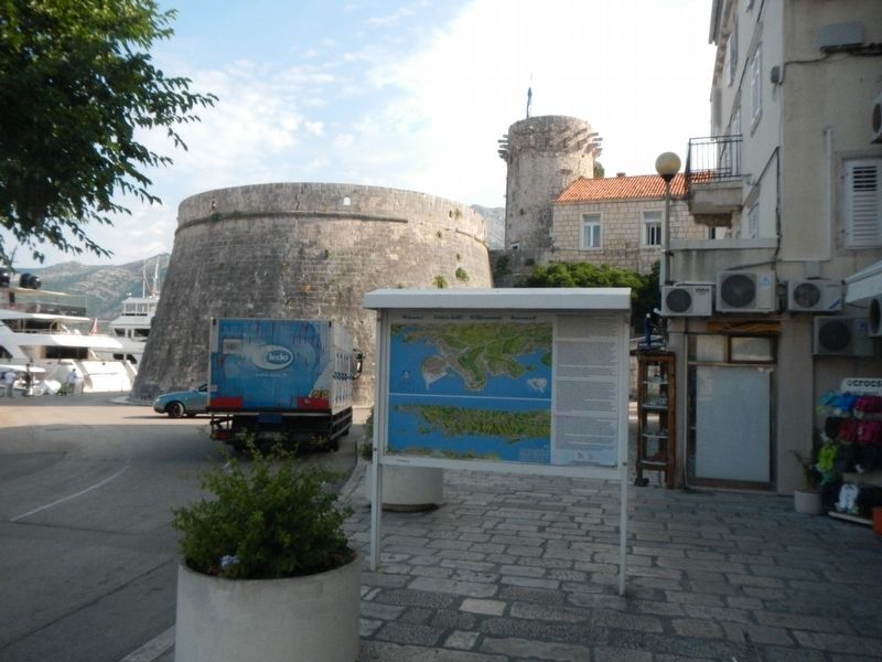
2. The Town of Korčula Marker
The Great Prince's Tower is in the background.
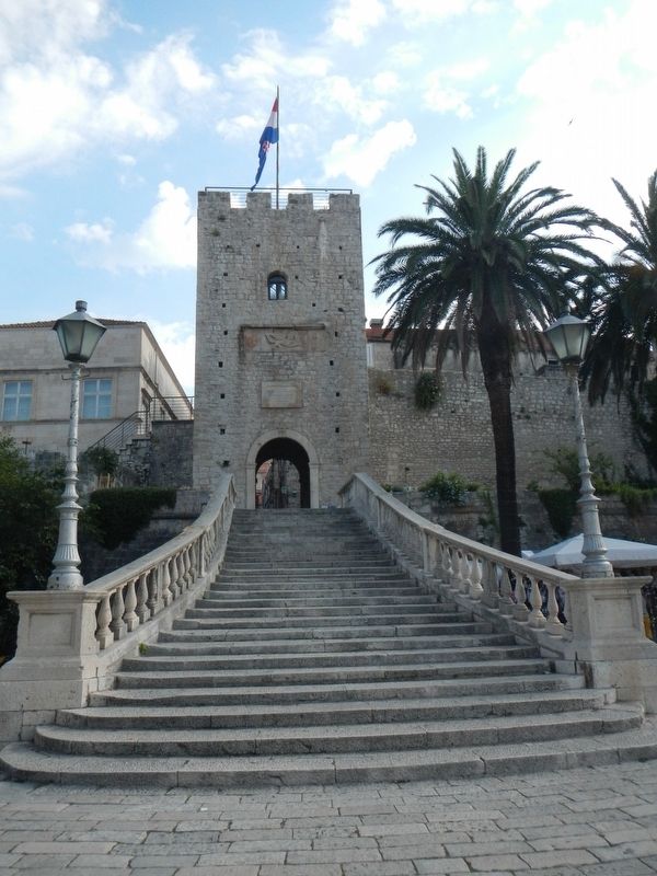
Also see . . . Korčula (town) - Wikipedia. The old city is surrounded by walls, and the streets are arranged in a herringbone pattern allowing free circulation of air but protecting against strong winds. Korčula is tightly built on a promontory that guards the narrow sound between the island and the mainland. Building outside the walls was forbidden until the 18th century, and the wooden drawbridge was only replaced in 1863. (Submitted on December 5, 2018, by Barry Swackhamer of Brentwood, California.)
Photographed by Barry Swackhamer, July 27, 2018
3. Old Town entrance gate
Photographed by Barry Swackhamer, July 27, 2018
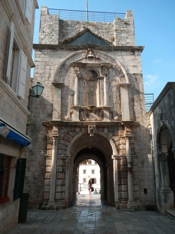
4. Old Town entrance gate, inside
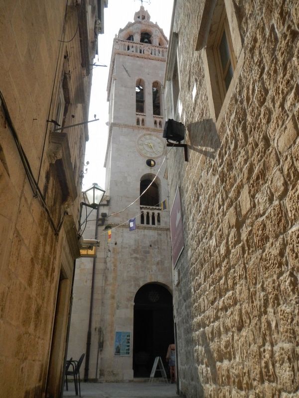
Photographed by Barry Swackhamer, July 27, 2018
5. Saint Mark's Belltower
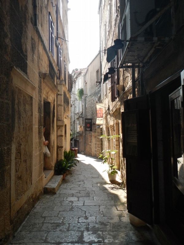
Photographed by Barry Swackhamer, July 27, 2018
6. Old Town's narrow streets
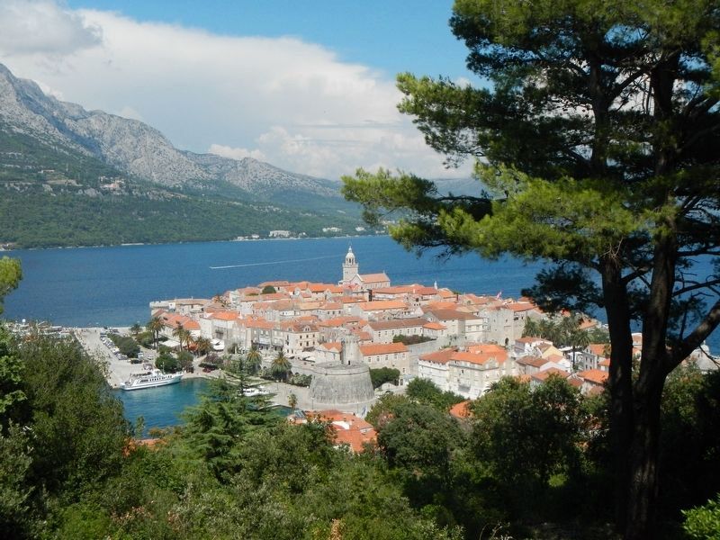
Photographed by Barry Swackhamer, July 27, 2018
7. The Town of Korčula
Credits. This page was last revised on February 10, 2022. It was originally submitted on December 5, 2018, by Barry Swackhamer of Brentwood, California. This page has been viewed 288 times since then and 14 times this year. Photos: 1, 2, 3, 4, 5, 6, 7. submitted on December 5, 2018, by Barry Swackhamer of Brentwood, California.
