Natchez in Adams County, Mississippi — The American South (East South Central)
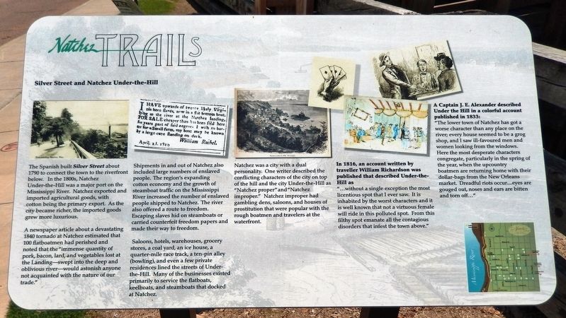
Silver Street and Natchez Under-the-Hill
Natchez Trails
A newspaper article about a devastating 1840 tornado at Natchez estimated that 100 flatboatmen had perished and noted that the “immense quantity of pork, bacon, lard, and vegetables lost at the Landing—swept into the deep and oblivious river—would astonish anyone not acquainted with the nature of our trade.”
Shipments in and out of Natchez also included large numbers of enslaved people. The region's expanding cotton economy and the growth of steamboat traffic on the Mississippi River increased the number of enslaved people shipped to Natchez. The river also offered a route to freedom. Escaping slaves hid on steamboats or carried counterfeit freedom papers and made their way to freedom.
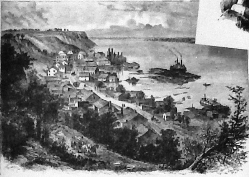
Saloons, hotels, warehouses, grocery stores, a coal yard, an ice house, a quarter-mile race track, a ten-pin alley (bowling), and even a few private residences lined the streets of Under-the-Hill. Many of the businesses existed primarily to service the flatboats, keelboats, and steamboats that docked at Natchez.
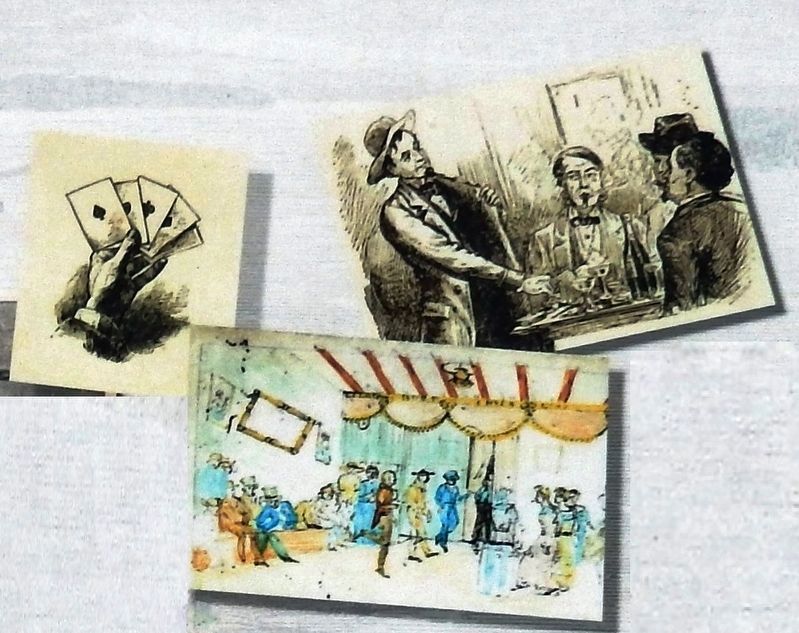
Natchez was a city with a dual personality. One writer described the conflicting characters of the city on top of the hill and the city Under-the-Hill as “Natchez proper” and “Natchez improper.” Natchez improper had gambling dens, saloons, and houses of prostitution that were popular with the rough boatmen and travelers at the waterfront.
In 1816, an account written by traveller William Richardson was published that described Under-the-Hill as
“…without a single exception the most licentious spot that I ever saw. It is inhabited by the worst characters and it is well known that not a virtuous female will ride in this polluted spot. From this filthy spot emanate all the contagious disorders that infest the town above.”
A Captain J. E. Alexander described Under the Hill in a colorful account published in 1833:
“The lower town of Natchez has got a worse character than any place on the river; every house seemed to be a grog shop, and I saw ill-favoured men and women looking from the windows. Here the most desperate characters congregate, particularly in the spring of the year, when the upcountry boatmen are returning home with their dollar-bags from the New Orleans market. Dreadful riots occur… eyes are gouged out, noses and ears are bitten and torn off…”
Erected by City of Natchez, Mississippi.
Topics and series. This historical marker is listed in these topic lists: Industry & Commerce • Notable Places • Settlements & Settlers • Waterways & Vessels. In addition, it is included in the Mississippi - Natchez Trails series list.
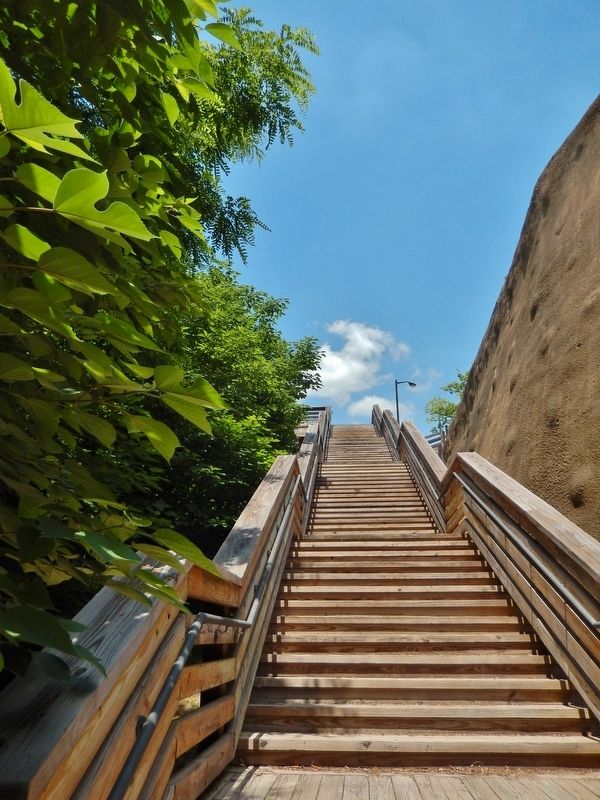
Location. 31° 33.65′ N, 91° 24.472′ W. Marker is in Natchez, Mississippi, in Adams County. Marker is on Silver Street east of South Broadway Street, on the right when traveling east. Marker is located beside the walkway at the top entrance to a long staircase leading down the bluff to the Mississippi River. Touch for map. Marker is in this post office area: Natchez MS 39120, United States of America. Touch for directions.
Other nearby markers. At least 8 other markers are within walking distance of this marker. Intersection of South Broadway and Washington streets (within shouting distance of this marker); The Parsonage (about 300 feet away, measured in a direct line); Bluff Park - Memorials and Louisiana Connections (about 400 feet away); Rosalie Cemetery (about 400 feet away); Fort Rosalie (about 400 feet away); Richard N. Wright (about 400 feet away); Natchez (about 500 feet away); Bluff Park - Playground for the City (about 600 feet away). Touch for a list and map of all markers in Natchez.
More about this marker. Marker is a large, rectangular composite plaque, mounted horizontally on waist-high metal posts.
Also see . . . Natchez Under-the-Hill. Known as Natchez Under-the-Hill, this area of Natchez was described by numerous nineteenth-century travelers as one of the rowdiest ports on the Mississippi River. Here docked the keelboats and the flatboats, and, beginning in 1811, the steamboats. Taverns, gambling halls, and brothels lined the principal street. At the end of the nineteenth century, the steamboat began to be replaced by the railroad, and Natchez Under-the-Hill soon became a sleepy river port whose primary commerce was the ferry, which provided transportation to and from Louisiana. (Submitted on December 7, 2018, by Cosmos Mariner of Cape Canaveral, Florida.)
Credits. This page was last revised on December 8, 2018. It was originally submitted on December 5, 2018, by Cosmos Mariner of Cape Canaveral, Florida. This page has been viewed 769 times since then and 110 times this year. Photos: 1. submitted on December 5, 2018, by Cosmos Mariner of Cape Canaveral, Florida. 2, 3, 4. submitted on December 6, 2018, by Cosmos Mariner of Cape Canaveral, Florida. 5. submitted on December 7, 2018, by Cosmos Mariner of Cape Canaveral, Florida. 6. submitted on December 6, 2018, by Cosmos Mariner of Cape Canaveral, Florida. • Andrew Ruppenstein was the editor who published this page.
