Miamisburg in Montgomery County, Ohio — The American Midwest (Great Lakes)
Miamisburg in the Great Flood of 1913
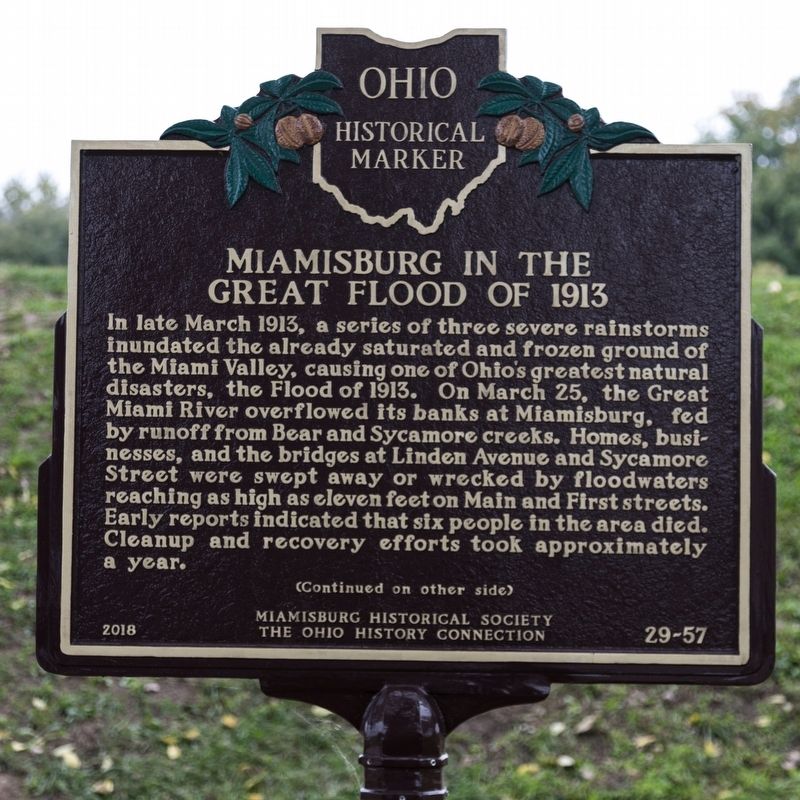
Photographed by J. J. Prats, October 19, 2018
1. Miamisburg in the Great Flood of 1913 Marker, side 1
In 1914, the Ohio General Assembly passed the Conservancy Act of Ohio, leading to the establishment of the Miami Conservancy District (MCD) In 1915. To ensure that no flood as devastating happened again, the MCD built and maintains flood control works In the Miami Valley, including the Germantown, Englewood, Lockington, Taylorsville, and Huffman earthen dams. Protections for Miamisburg include levees and walls along the Great Miami River and its tributaries. Riverfront Park, on land inundated by the 1913 flood,
this page online
Erected 2018 by Miamisburg Historical Society and The Ohio History Connection. (Marker Number 29-57.)
Topics and series. This historical marker is listed in these topic lists: Charity & Public Work • Disasters • Waterways & Vessels. In addition, it is included in the Ohio Historical Society / The Ohio History Connection series list. A significant historical date for this entry is March 25, 1913.
Location. 39° 38.477′ N, 84° 17.449′ W. Marker is in Miamisburg, Ohio, in Montgomery County. It is on South Miami Avenue south of West Central Avenue, on the right when traveling south. It is at the restrooms. Touch for map. Marker is in this post office area: Miamisburg OH 45342, United States of America. Touch for directions.

Regionally, this marker is in Ohio’s Dayton Metro and in the Miami Valley. It is also in the American Midwest and in the Corn Belt. Globally, it is in North America, the Western Hemisphere, the Western World, and the Anglosphere. Historically, it finds itself in what was once the Haudenosaunee (Iroquois)
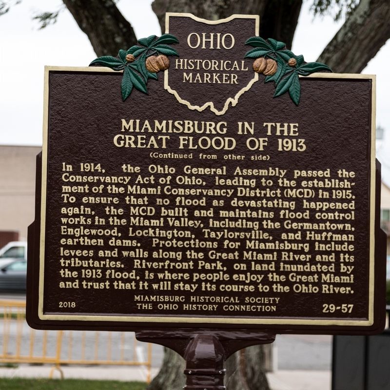
Photographed by J. J. Prats, October 19, 2018
2. Miamisburg in the Great Flood of 1913 Marker, side 2
Other nearby markers. At least 8 other markers are within walking distance of this marker: Welcome To The Farmers & Merchants Bank Playground (within shouting distance of this marker); History of the 1913 Flood in Miamisburg (about 300 feet away, measured in a direct line); Welcome to The Ginkgo Stage (about 500 feet away); The Miami Connection (approx. 0.2 miles away); Heritage Village (approx. 0.2 miles away); Miamisburg POW-MIA Memorial (approx. 0.4 miles away); "Lest We Forget" (approx. 0.4 miles away); Vietnam War (approx. 0.4 miles away). Touch for a list and map of all markers in Miamisburg.
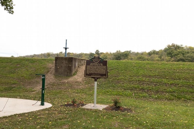
Photographed by J. J. Prats, October 19, 2018
3. Miamisburg in the Great Flood of 1913 Marker
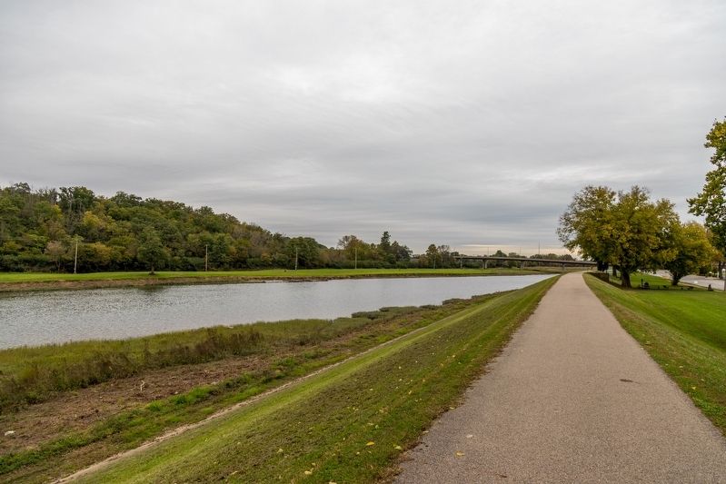
Photographed by J. J. Prats, October 19, 2018
4. The Miami River at Miamisburg
This view is from the path atop the levee near this marker.
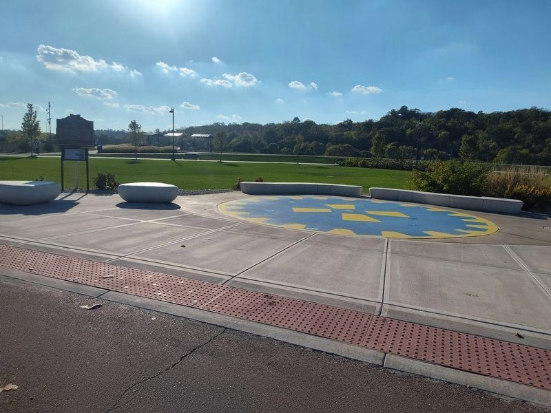
Photographed by Craig Doda, October 4, 2025
5. Miamisburg in the Great Flood of 1913 Marker
Credits. This page was last revised on October 10, 2025. It was originally submitted on December 9, 2018, by J. J. Prats of Powell, Ohio. This page has been viewed 1,968 times since then and 139 times this year. Photos: 1, 2, 3, 4. submitted on December 9, 2018, by J. J. Prats of Powell, Ohio. 5. submitted on October 8, 2025, by Craig Doda of Napoleon, Ohio.
