Near Valier in Pondera County, Montana — The American West (Mountains)
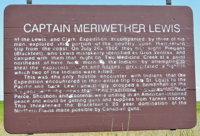
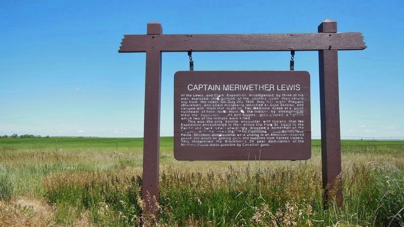
Captain Meriwether Lewis
This was the only hostile encounter with Indians that the Expedition encountered in their entire trip from St. Louis to the Pacific and back. Lewis unwittingly dropped a bombshell on the Piegans with the news that their traditional enemies, the Nez Perce, Shoshoni and Kootenai, were uniting in an American-inspired peace and would be getting guns and supplies from Yankee traders. This threatened the Blackfeet’s 20 year domination of the Northern Plains made possible by Canadian guns.
Topics and series. This historical marker is listed in these topic lists: Exploration • Native Americans. In addition, it is included in the Lewis & Clark Expedition series list. A significant historical date for this entry is July 26, 1806.
Location. 48° 19.283′ N, 112° 32.543′ W. Marker is near Valier, Montana , in Pondera County. Marker is on U.S. 89, 0.1 miles south of Robare Lane, on the left when traveling south. Marker is located in a pull-out on the east side of the highway. Touch for map. Marker is in this post office area: Valier MT 59486, United States of America. Touch for directions.
Other nearby markers. At least 8 other markers are within 14 miles of this marker, measured as the crow flies. The 546th Missile Squadron (here, next to this marker); The Front Range of the Rockies (approx. 8.7 miles away); Dupuyer (approx. 8.7 miles away); Old Agency Site (approx. 10.4 miles away); Ration Day (approx. 10.4 miles away); Ghost Ridge (approx. 10.4 miles away); Old Agency (approx. 10.7 miles away); A Dispute Over Horses and Guns (approx. 14 miles away). Touch for a list and map of all markers in Valier.
More about this marker. This is a large painted wooden "billboard-style" marker.
Also see . . .
1. Journals of the Lewis & Clark Expedition: Chapter Eighteen. The Piegans noticed not only the unattended guns but the general unreadiness of all the whites. Speaking quickly and openly, for no one knew their language, they planned a concerted attack. One warrior would make off with both of the Field brothers' guns. Two others would seize the rifles in the shelter—those lying beside Drouillard and Lewis. The other six Piegans should lay hold of the whites' six horses. There seems to have been no intent, right then, to kill the Americans. Such a battle might cost a Piegan life, a loss that all Indian raiders were reluctant to face. Bringing home white mens' guns and horses without harm to themselves would give them prestige enough. Besides, the Americans, left unarmed and afoot on the plains, would soon die anyway... (Submitted on December 10, 2018, by Cosmos Mariner of Cape Canaveral, Florida.)
2. Meriwether Lewis shoots Blackfoot Indian. On July 26, Lewis encountered a party of eight young Blackfoot braves. At first, the meeting went well, and the Indians seemed pleased with Lewis’ gifts of a medal, flag, and handkerchief. Lulled into a false sense of security, Lewis invited the Indians to camp with them. In the early morning of this day in 1806, Lewis awoke to the shouts of one his men–the Indians were attempting to steal their rifles and horses... (Submitted on December 10, 2018, by Cosmos Mariner of Cape Canaveral, Florida.)
Credits. This page was last revised on December 13, 2018. It was originally submitted on December 10, 2018, by Cosmos Mariner of Cape Canaveral, Florida. This page has been viewed 553 times since then and 32 times this year. Photos: 1, 2, 3, 4. submitted on December 10, 2018, by Cosmos Mariner of Cape Canaveral, Florida. • Bill Pfingsten was the editor who published this page.


