Inverness in Highland, Scotland, United Kingdom — Northwestern Europe (the British Isles)
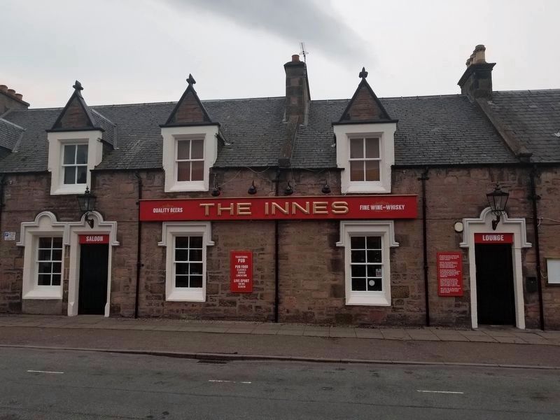
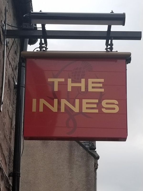
The Innes
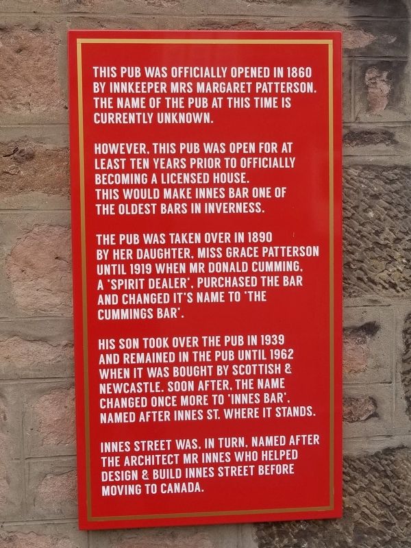
This pub was officially opened in 1860 by innkeeper Mrs Margaret Patterson. The name of the pub at this time is currently unknown.
However, this pub was open for at least ten years prior to officially becoming a licensed house. This would make Innes Bar one of the oldest bars in Inverness.
The pub was taken over in 1890 by her daughter, Miss Grace Patterson until 1919 when Mr Donald Cumming, a 'spirit dealer', purchased the bar and changed it's name to ‘The Cummings Bar'.
His son took over the pub in 1939 and remained in the pub until 1962 when it was bought by Scottish & Newcastle. Soon after, the name , changed once more to ‘Innes Bar’, named after Innes St, where it stands.
Innes Street was, in turn, named after the architect Mr Innes who helped design & build Innes Street before moving to Canada.
Topics. This historical marker is listed in this topic list: Entertainment. A significant historical year for this entry is 1860.
Location. 57° 29.001′ N, 4° 13.751′ W. Marker is in Inverness, Scotland, in Highland. Marker is at the intersection of Shore Street and Innes Street, on the right when traveling north on Shore Street. Touch for map. Marker is at or near this postal address: 61 Innes Street, Inverness, Scotland IV1 1NR, United Kingdom. Touch for directions.
Other nearby markers. At least 8 other markers are within 10 kilometers of this marker, measured as the crow flies. Chapel Yard Cemetery (about 210 meters away, measured in a direct line); Inverness Castle Timeline (approx. 0.8 kilometers away); Inverness Castle (approx. 0.8 kilometers away); Flora MacDonald (approx. 0.9 kilometers away); Upstream, downsteam (approx. 0.9 kilometers away); Knockbain Great Wars Memorial (approx. 6.6 kilometers away); Culloden Battlefield (approx. 7.8 kilometers away); Balnuaran of Clava (approx. 9.4 kilometers away). Touch for a list and map of all markers in Inverness.
Also see . . . Innes Bar. (Submitted on December 17, 2018, by Michael Herrick of Southbury, Connecticut.)
Credits. This page was last revised on January 27, 2022. It was originally submitted on December 17, 2018, by Michael Herrick of Southbury, Connecticut. This page has been viewed 560 times since then and 31 times this year. Photos: 1, 2, 3. submitted on December 17, 2018, by Michael Herrick of Southbury, Connecticut.


