Bountiful in Davis County, Utah — The American Mountains (Southwest)
George Quinn McNeil
Inscription.
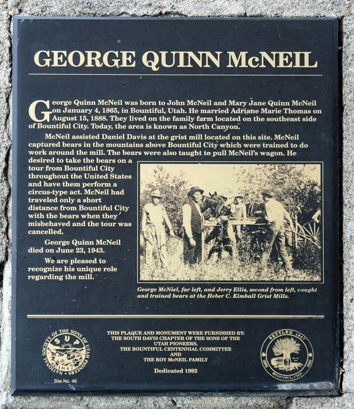
George Quinn McNeil was born to John McNeil and Mary Jane Quinn McNeil on January 4, 1865, in Bountiful, Utah. He married Adriane Marie Thomas on August 15, 1888. They lived on the family farm located on the southeast side of Bountiful City. Today the area is known as North Canyon.
McNeil assisted Daniel Davis at the grist mill located on this site. McNeil captured bears in the mountains above Bountiful City which were trained to do work around the mill. The bears were also taught to pull McNeil's wagon. He desired to take the bears on a tour from Bountiful City throughout the United States and have them perform a circus-type act. McNeil had traveled only a short distance from Bountiful City with the bears when they misbehaved and the tour was cancelled.
George Quinn McNeil died on June 23, 1943.
We are pleased to recognize his unique role regarding the mill.
Erected 1992 by The South Davis Chapter of The Sons of the Utah Pioneers, the Bountiful Centennial Committee and the Roy McNeil Family. (Marker Number 46.)
Topics. This historical marker is listed in these topic lists: Animals • Entertainment • Industry & Commerce. A significant historical date for this entry is January 4, 1865.
Location. 40° 52.816′ N, 111° 52.366′ W. Marker is in Bountiful, Utah, in Davis County. Marker is at the intersection of Orchard Drive and Mill Street, on the right when traveling north on Orchard Drive. Touch for map. Marker is in this post office area: Bountiful UT 84010, United States of America. Touch for directions.
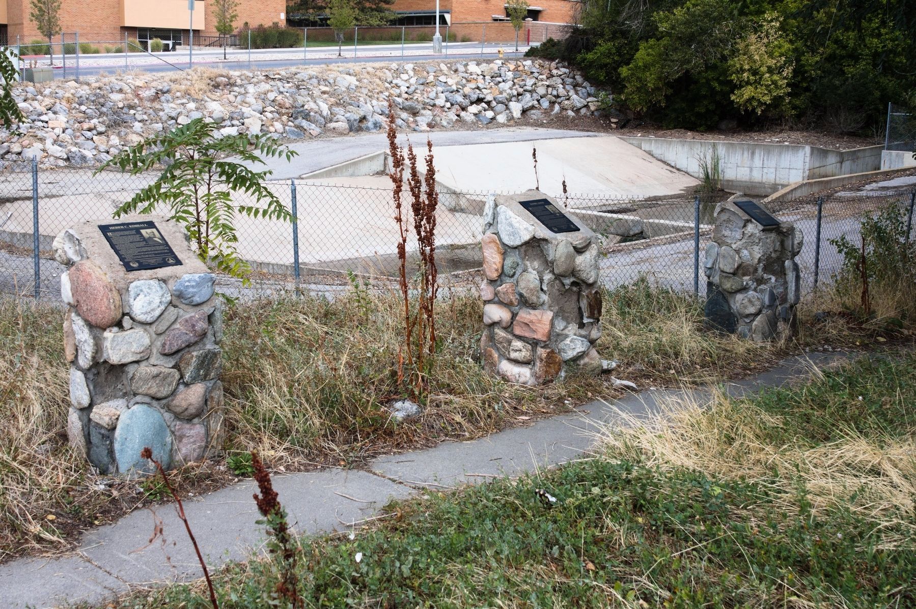
Other nearby markers. At least 8 other markers are within 6 miles of this marker, measured as the crow flies. Daniel Davis (here, next to this marker); Heber C. Kimball (here, next to this marker); Original Gristmill Stones (here, next to this marker); Heber C. Kimball Grist Mill (a few steps from this marker); Bountiful Tabernacle (approx. 0.7 miles away); The Valley (approx. 6 miles away); The Summit (approx. 6 miles away); Ensign Peak (approx. 6 miles away). Touch for a list and map of all markers in Bountiful.
Credits. This page was last revised on December 21, 2018. It was originally submitted on December 19, 2018, by Andrew Johnson of Salt Lake City, Utah. This page has been viewed 432 times since then and 15 times this year. Photos: 1, 2. submitted on December 19, 2018, by Andrew Johnson of Salt Lake City, Utah. • Andrew Ruppenstein was the editor who published this page.

