Lairg in Highland, Scotland, United Kingdom — Northwestern Europe (the British Isles)
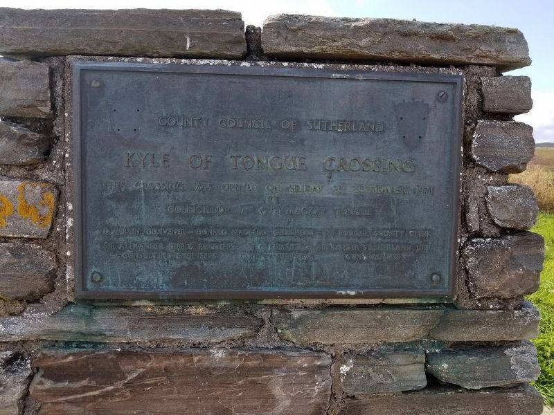
Kyle of Tongue Crossing
Photographed by Michael Herrick, August 30, 2018
1. Kyle of Tongue Crossing Marker
Kyle of Tongue Crossing
This crossing was opened on Friday 3rd September 1971
by
Councillor Mrs C.B. Mackay Tongue
D. McBain, Convenor — Donald Macleod, Chairman — J.B. Rodger, County Clerk
Sir Alexander Gibb & Partners, Consulting Engineers
J.G. Edmond, County Surveyor
Alexander Sutherland Ltd., Contractors
Topics. This historical marker is listed in this topic list: Bridges & Viaducts. A significant historical date for this entry is September 3, 1971.
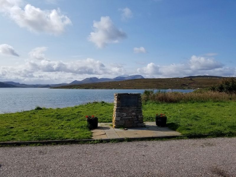
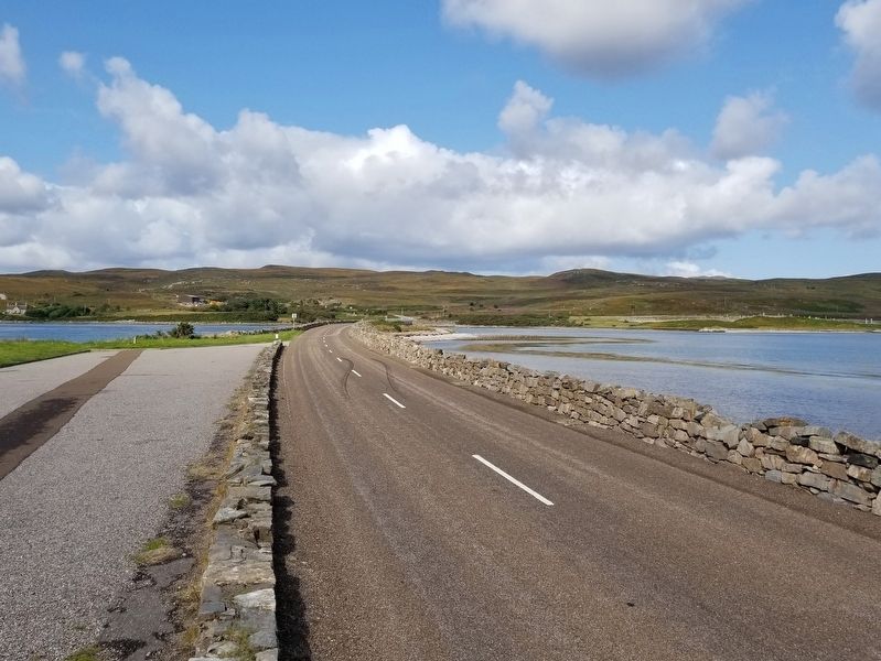
Location. 58° 29.594′ N, 4° 26.789′ W. Marker is in Lairg, Scotland, in Highland. It is on Scotland Route A838 3.2 kilometers west of Route A836, on the left when traveling west. Located on the causeway crossing the Kyle of Tongue. Touch for map. Marker is in this post office area: Lairg, Scotland IV27 4YR, United Kingdom. Touch for directions.

Regionally, this marker is in the Highlands. Globally, it is on the Atlantic Ocean, in the North Atlantic Region, on the Atlantic Arc, in Europe, on the Celtic Fringe, in Atlantic Europe, on one of the British Isles, in the Western World, and in the Anglosphere.
Other nearby markers. At
this page online
Also see . . . Kyle of Tongue on Wikipedia. (Submitted on December 26, 2018, by Michael Herrick of Southbury, Connecticut.)
Photographed by Michael Herrick, August 30, 2018
2. Kyle of Tongue Crossing Marker
Photographed by Michael Herrick, August 30, 2018
3. The Causeway Crossing the Kyle of Tongue
Credits. This page was last revised on January 27, 2022. It was originally submitted on December 26, 2018, by Michael Herrick of Southbury, Connecticut. This page has been viewed 307 times since then and 31 times this year. Photos: 1, 2, 3. submitted on December 26, 2018, by Michael Herrick of Southbury, Connecticut.
