Fort Belvoir in Fairfax County, Virginia — The American South (Mid-Atlantic)
Woodlawn Quaker Meetinghouse
Photographed by Allen C. Browne, December 26, 2018
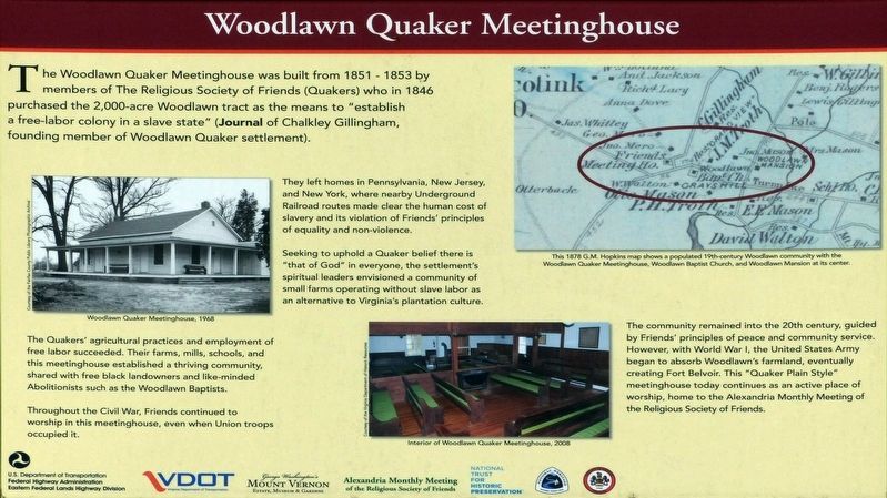
1. Woodlawn Quaker Meetinghouse Marker
They left homes in Pennsylvania, New Jersey, and New York, where nearby Underground Railroad routes made clear the human cost of slavery and its violation of Friends’ principles of equality and non-violence.
Seeking to uphold Quaker belief there is “that of God” in everyone, the settlement’s spiritual leaders envisioned a community of small farms operating without slave labor as an alternative to Virginia’s plantation culture.
The Quakers’ agricultural practices and employment of free labor succeeded. Their farms, mills, schools, and this meetinghouse established a thriving community, shared with free black landowners and like-minded Abolitionists such as the Woodlawn Baptists.
Throughout the Civil War, Friends continued to worship in this meeting house, even when Union
this page online
The community remained into the 20th century, guided by Friends’ principles of peace and community service. However, with World War I, the United States Army began to absorb Woodlawn’s farmland, eventually creating Fort Belvoir. This “Quaker Plain Style” meetinghouse today continues as an active place of worship, home of the Alexandria Monthly Meeting of the Religious Society of Friends.
Topics and series. This historical marker is listed in these topic lists: Abolition & Underground RR • African Americans • Religion & Religious Structures • Settlements & Settlers. In addition, it is included in the Quakerism series list.
Location. 38° 42.849′ N, 77° 8.463′ W. Marker is in Fort Belvoir, Virginia, in Fairfax County. It is on Woodlawn Road, on the right when traveling north. Touch for map. Marker is at or near this postal address: 8990 Woodlawn Road, Fort Belvoir VA 22060, United States of America. Touch for directions.

Regionally, this marker is in the Washington Metropolitan Area and in Northern Virginia. It is also in the American
Photographed by Allen C. Browne, December 26, 2018
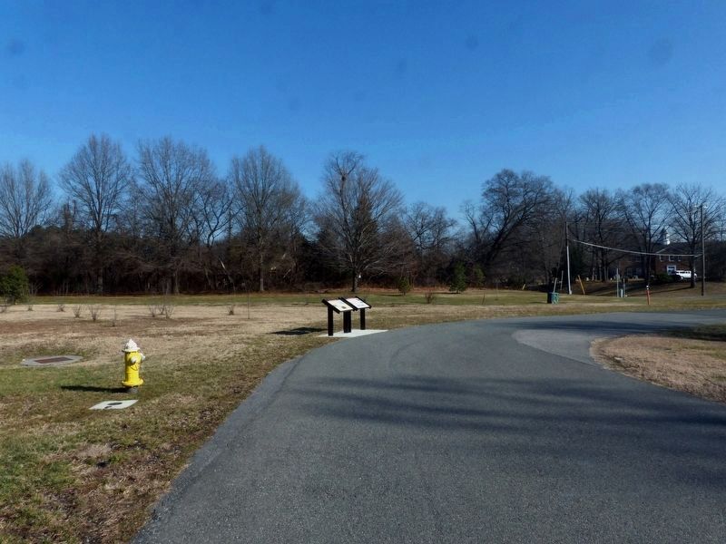
2. Woodlawn Quaker Meetinghouse Marker
Other nearby markers. At least 8 other markers are within walking distance of this marker: The Woodlawn Historic District (here, next to this marker); Alexandria, Mt. Vernon, and Accotink Turnpike (approx. ¼ mile away); Belvoir (approx. ¼ mile away); Fort Belvoir (approx. ¼ mile away); Necessary (approx. 0.3 miles away); Dairy (approx. 0.3 miles away); Potomac Connections (approx. 0.3 miles away); Meat House (approx. 0.3 miles away). Touch for a list and map of all markers in Fort Belvoir.
Photographed by Allen C. Browne, December 26, 2018
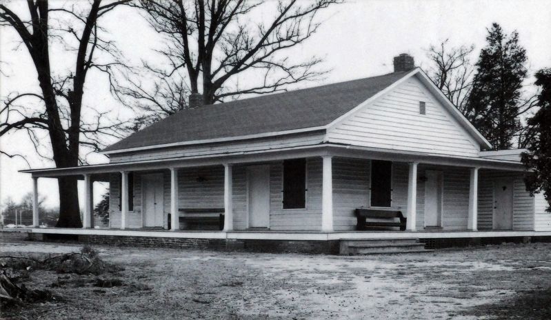
3. Woodlawn Quaker Meetinghouse, 1968
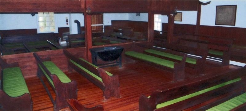
2008
4. Interior of Woodlawn Quaker Meetinghouse, 2008
Photographed by Allen C. Browne, December 26, 2018
5. Woodlawn Community
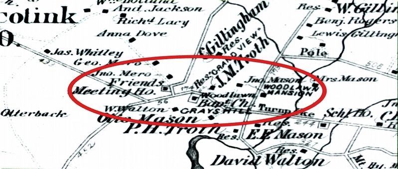
This 1878 G.M. Hopkins map shows a populated 19th-century Woodlawn community with the Woodlawn Quaker Meetinghouse, Woodlawn Baptist Church and Woodlawn Mansion at its center.Close-up of map on marker
Photographed by Allen C. Browne, December 26, 2018
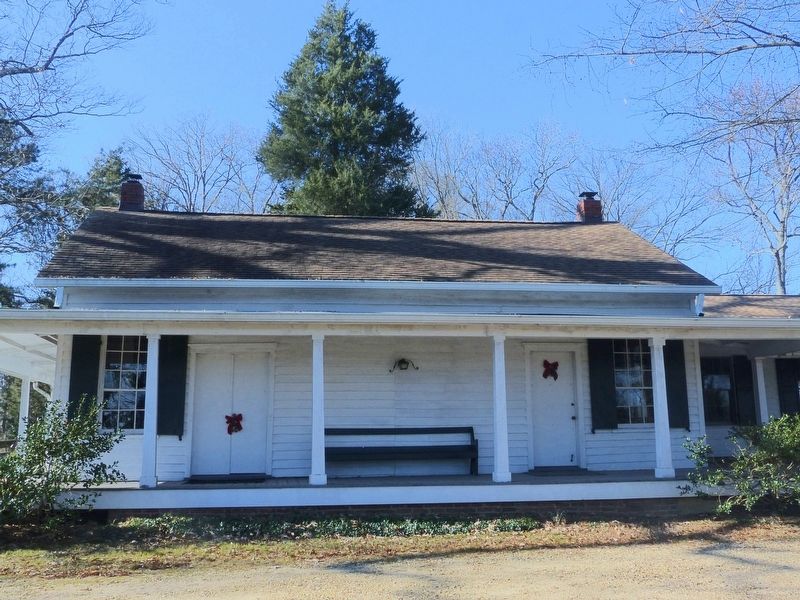
6. Woodlawn Quaker Meetinghouse
Photographed by Allen C. Browne, December 26, 2018
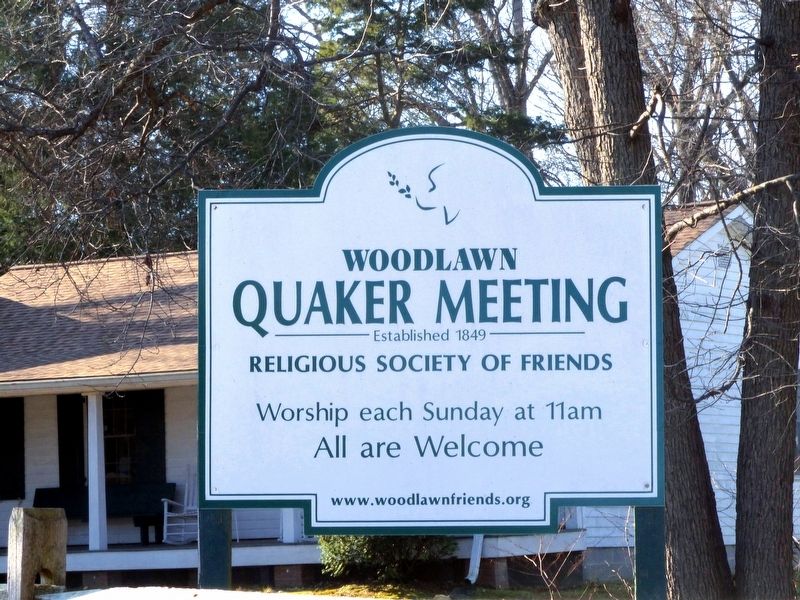
7. Woodlawn
Quaker Meeting
Quaker Meeting
Religious Society of Friends
Worship each Sunday at 11am
All are Welcome
www.woodlawnfriends.org
Credits. This page was last revised on December 29, 2018. It was originally submitted on December 26, 2018, by Allen C. Browne of Silver Spring, Maryland. This page has been viewed 870 times since then and 40 times this year. Photos: 1. submitted on December 26, 2018, by Allen C. Browne of Silver Spring, Maryland. 2. submitted on December 27, 2018, by Allen C. Browne of Silver Spring, Maryland. 3, 4, 5, 6, 7. submitted on December 26, 2018, by Allen C. Browne of Silver Spring, Maryland. • Andrew Ruppenstein was the editor who published this page.
