Lairg in Highland, Scotland, United Kingdom — Northwestern Europe (the British Isles)
A moving story
A moving story
Siubhal nan clach
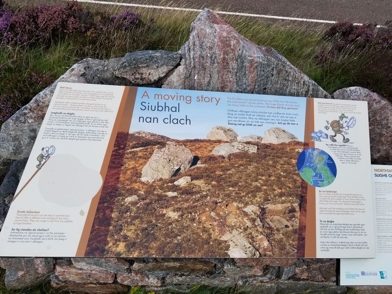
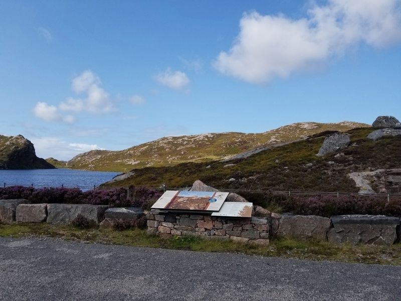
The boulders you see perched on top of the low hill across the road weren't always there. The huge blocks of rock once lay many miles to the southeast. So how did they get here?
Chithear ulbhagan mòra cloiche nan suidhe air muin cnuic bhig air taobh thall an rathaid, ach cha b' ann an seo a bha iad roimhe. Bha na ulbhagan seo nan laighe fada gun ear-dheas air an àite seo uaireigin. Ach gu dè mar a thàinig iad gu bhith an seo?
Melt down
About 25,000 years ago this area was covered with a thick sheet of slowly moving ice. The ice gouged out and gathered up boulders as it moved. Around 15,000 years ago the climate warmed up very quickly and the ice sheet melted, leaving the boulders in the positions we see them today.
Geologists refer to these boulders dropped by the ice as ‘glacial erratics'. Studying them can tell us which way the ice was moving and how far it travelled. Erratics found high on mountainsides prove that glaciers could carry big rocks uphill too!
Leaghadh na deighe
Bho chionn 25,000 bliadhna bha an sgìre seo air a chòmhdachadh le siota tiugh deighe, a bha a' gluasad gu màl. Thog an siota-deighe seo na h-ulbhagan agus ghluais e iad. Bho chionn 15,00 bliadhna, thàinig blàthachadh air an aimsir agus leagh an deigh, a' fàgail nan ulbhagan far am faicear a-nise iad.
Canaidh na geòlaichean 'glacial erratics' ri ulbhagan mar seo a chaidh fhàgail an dèidh leaghadh deighe. Aithnichear orra dè an taobh a bha an deigh a' dol agus dè cho fada a shiubhal i. Tha na h-ulbhagan a lorgas gu h-àrd air beanntan ag innse dhuinne gum b’ urrainn do struthan-deighe gan giùlain suas beanntan.
Erratic behaviour
These glacial erratics can be easy to spot because they're often a different size and type to the rocks around them. They can range in size from tiny pebbles to huge boulders.
An tig cianalas air clachan?
Aithneachar na 'glacial erratics' oir tha iad eadar-dhealaichte ann am meud agus cruth ris na clachan mu thimcheall orra. Faodaidh iad a bhith cho beag ri molagan is cho mòr ri ulbhagan.
Did you know?
The great ice sheet that covered Scotland about 25,000 years ago pushed out over100 kilometres into the Atlantic Ocean and across the Irish Sea. It picked up rocks from southwest Scotland and carried them as far south as the Isle of Man and Wales!
An robh fios agaibh? Bha an siota-deighe mòr a rinn còmhdachadh air Alba bho chionn 25,000 bliadhna a' dol 100 cilemeatair a-mach dhan Chuan Siar agus tarsainn air Cuan h-Èireann. Thug e clachan bho iar-dheas na h-Alba cho fada deas ri Eilean Mhanainn agus
a' Chuimrigh.
An ice landscape
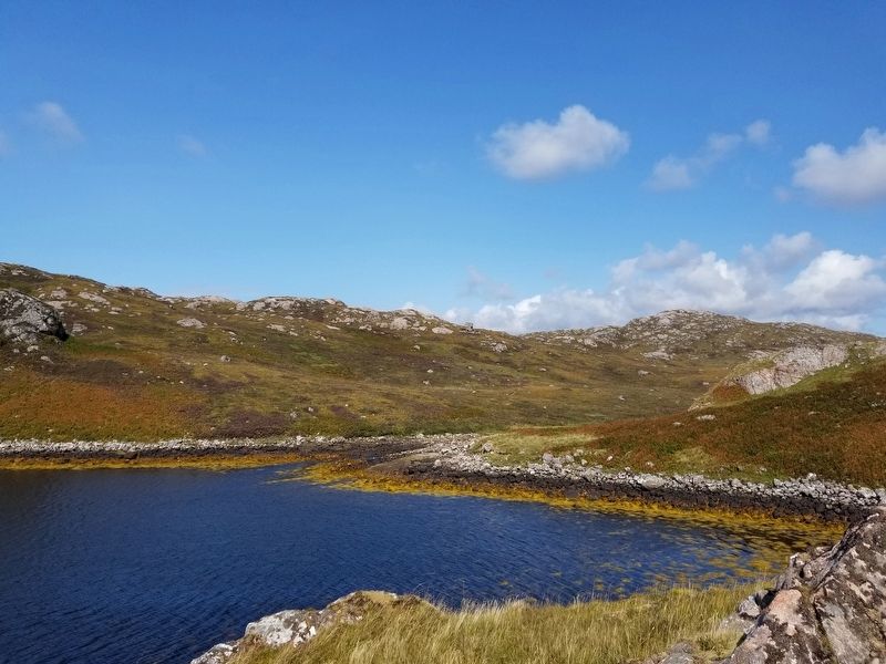
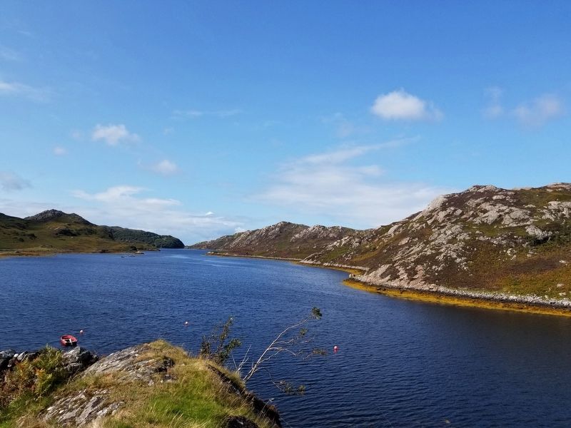
The ice sheets scoured and scraped the bedrock as they crept across this landscape. They left behind low rounded hills and a pattern of worn down hollows that often filled with water. This distinctive landscape is known as 'cnoc and lochan' (hillock and small lochs).
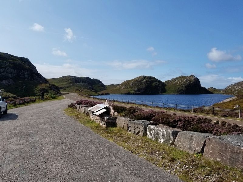
Although you'll be travelling much faster than the ice sheets through the same landscape, look out for signs that ice passed through here before you.
Tir na deighe
Dhèanadh na siotaichean-deighe seo sgùradh agus sgròbadh air a' ghrunnd agus iad a' gluasad gu màl thar na tìre. Dh'thàg iad seo mullaichean ìosal air cnuic agus pàtran de shlocan mòra gu tric air an lìonadh a-nise le uisge. Canas 'cnoc and lochan' ann am Beurla ri cruth tìre mar seo.
Ged a tha sibhse a' siubhal aig astar cus nas luaithe na bha na siotaichean-deighe, feuch a bheil càil ann a yha Angelo innse dhuibh gun robh sruthan-deighe an seo romhaibh.
Topics. This historical marker is listed in this topic list: Natural Features.
Location. 58° 24.352′ N, 5° 0.283′ W. Marker is in Lairg, Scotland, in Highland. Marker is on Route A838, 25.3 kilometers south of the village of Durness, on the left when traveling south. Touch for map. Marker is in this post office area: Lairg, Scotland IV27 4RN, United Kingdom. Touch for directions.
Other nearby markers. At least 4 other markers are within 19 kilometers of this marker, measured as the crow flies. Mark of Gratitude (approx. 10.6 kilometers away); Kylesku Bridge (approx. 16.5 kilometers away); X Craft Memorial (approx. 16.6 kilometers away); A geological sandwich (approx. 18.3 kilometers away).
Credits. This page was last revised on January 27, 2022. It was originally submitted on December 28, 2018, by Michael Herrick of Southbury, Connecticut. This page has been viewed 112 times since then and 5 times this year. Photos: 1, 2, 3, 4, 5. submitted on December 28, 2018, by Michael Herrick of Southbury, Connecticut.
