Ransom Place in Indianapolis in Marion County, Indiana — The American Midwest (Great Lakes)
Ransom Place Historic District
Photographed by J. J. Prats, October 20, 2018
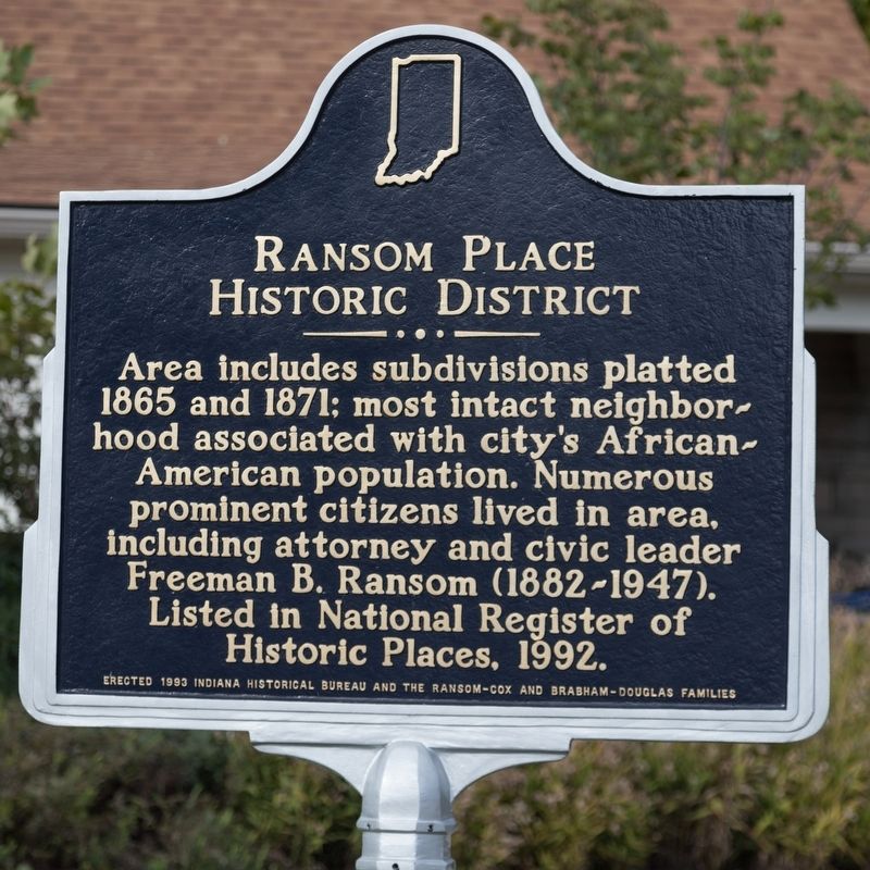
1. Ransom Place Historic District Marker
Area includes subdivisions platted 1865 and 1871; most intact neighborhood associated with city’s African-American population. Numerous prominent citizens lived in area, including attorney and civic leader Freeman B. Ransom (1882-1947). Listed in National Register of Historic Places, 1992.
Erected 1993 by Indiana Historical Bureau and the Ransom-Cox and Brabham-Douglas families. (Marker Number 49.1993.1.)
Topics. This historical marker is listed in these topic lists: African Americans • Notable Places. A significant historical year for this entry is 1865.
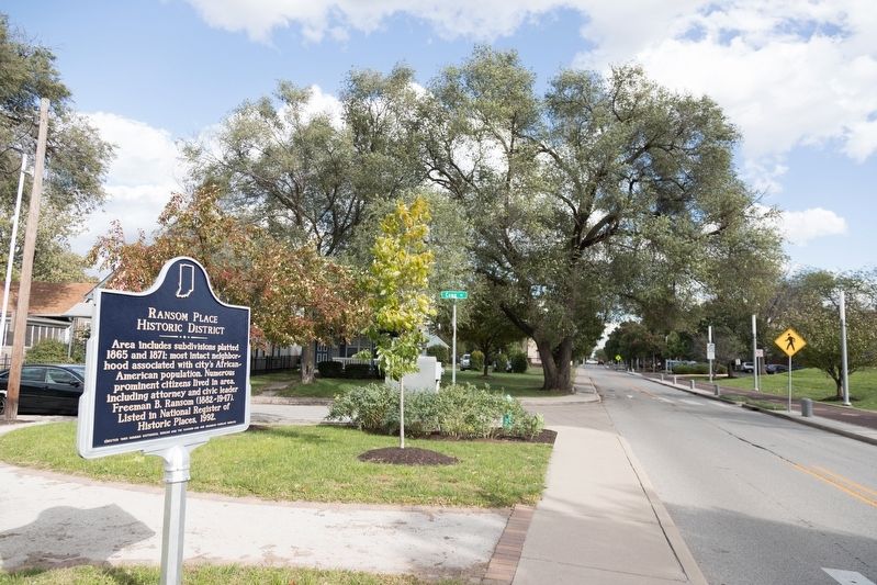
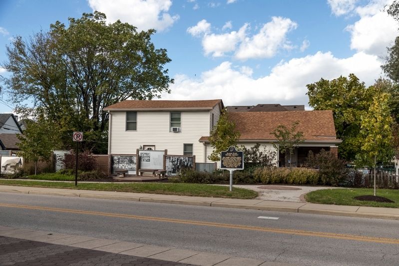
Location. 39° 46.704′ N, 86° 10.211′ W. Marker is in Indianapolis, Indiana, in Marion County. It is in Ransom Place. It is at the intersection of West St Clair Street and Camp Street, on the left when traveling east on West St Clair Street. It is at the Ransom Place Pocket Park. Touch for map. Marker is in this post office area: Indianapolis IN 46202, United States of America. Touch for directions.

Regionally, this marker is in Central Indiana. It is also in the American Midwest and in the Corn Belt. Globally, it is in North America, the Western Hemisphere,
this page online
Other nearby markers. At least 8 other markers are within walking distance of this marker: Historic Ransom Place (a few steps from this marker); Phyllis Wheatley YWCA (approx. 0.2 miles away); Black Lives Matter Mural (approx. 0.2 miles away); Madam C.J. Walker (approx. 0.2 miles away); Madam C.J. Walker Building (approx. 0.2 miles away); Sigma Theta Tau International (approx. 0.2 miles away); Madame C.J. Walker Timeline (approx. 0.2 miles away); Talking Wall (approx. ¼ mile away). Touch for a list and map of all markers in Indianapolis.
Also see . . . Ransom Place Neighborhood Association. Association website homepage:
“Currently, Ransom Place is the most intact 19th century neighborhood associated with African-Americans in Indianapolis. The neighborhood was named after Freeman B. Ransom who lived from 1882 to 1947. He was an attorney and general manager of the Walker Manufacturing Company, a cosmetics firm founded by Madam C.J. Walker. The area was once
Photographed by J. J. Prats, October 20, 2018
2. Ransom Place Historic District Marker
Photographed by J. J. Prats, October 20, 2018
3. Ransom Place Pocket Park and Marker
Credits. This page was last revised on February 4, 2023. It was originally submitted on December 30, 2018, by J. J. Prats of Powell, Ohio. This page has been viewed 480 times since then and 30 times this year. Photos: 1, 2, 3. submitted on December 30, 2018, by J. J. Prats of Powell, Ohio.
