Lairg in Highland, Scotland, United Kingdom — Northwestern Europe (the British Isles)
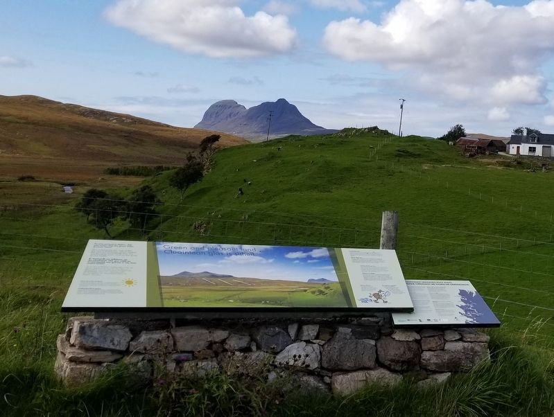
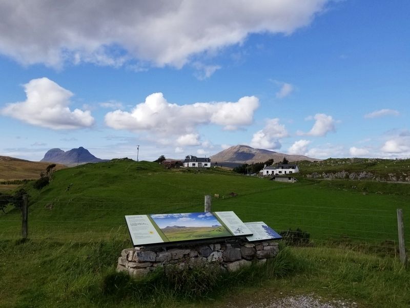
Green and pleasant land
Inscription.
Green and pleasant land
Cluaintean glas is sìtheil
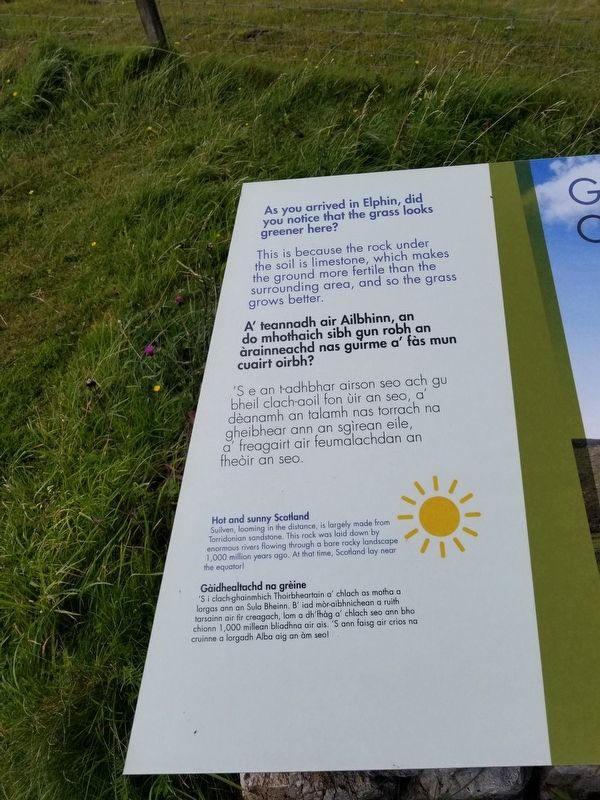
As you arrived in Elphin, did you notice that the grass looks greener here?
This is because the rock under the soil is limestone, which makes the ground more fertile than the surrounding area, and so the grass grows better. A' teannadh air Ailbhinn, an do mhothaich sibh gun robh an àrainneachd nas guirme a' fàs mun cuairt oirbh?
‘S e an t-adhbhar airson seo ach gu bheil clach-aoil fon ùir an seo, a’ dèanamh an talamh nas torrach na gheibhear ann an sgìrean eile, a’ freagairt air feumalachdan an theòir an seo.
Hot and sunny Scotland
Suilven, looming in the distance, is largely made from Torridonian sandstone. This rock was laid down by enormous rivers flowing through a bare rocky landscape1,000 million years ago. At that time, Scotland lay near the equator!
Gàidhealtachd na grèine
‘S i clach-ghainmhich Thoirbheartain a' chlach as motha a lorgas ann an Sula Bheinn. B' iad mòr-aibhnichean a ruith tarsainn air tir creagach, lom a dh'fhàg a' chlach seo ann bho chionn 1,000 millean bliadhna air ais. 'S ann faisg air crios Nathaniel cruinne a lorgadh. Alba aig an àm seo!
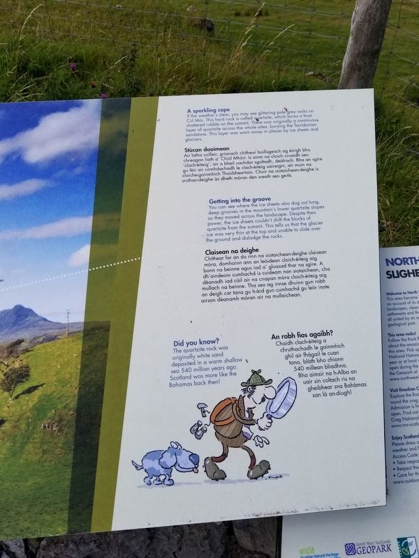
A sparkling cape
If the weather's clear, you may see glittering pale grey rocks on Cùl Mòr. This hard rock is called quartzite, which forms a frost shattered rubble on the summit. There was originally a continuous layer of quartzite across the whole area, burying the Torridonian sandstone. This layer was worn away in places by ice sheets and glaciers.
Stùcan daoimean
Air latha soilleir, grianach chìthear boillsgeach ag èirigh bho chreagan liath a' Chùil Mhòir. Is ainm na cloich cruaidh seo 'clach-èiteig', air a bheil uachdar sgoltadh, deàlrach. Bha an sgire gu lèir air còmhdachadh le clach-èiteig uaireigin, air muin na cloiche-gainmhich Thoirbheartain. Chuir na siotaichean-deighe is sruthan-deighe às dheth mòran den sreath seo ge-tà.
Getting into the groove
You can see where the ice sheets also dug out long, deep grooves in the mountain's lower quartzite slopes as they moved across the landscape. Despite their power, the ice sheets couldn't shift the blocks of quartzite from the summit. This tells us that the glacier ice was very thin at the top and unable to slide over the ground and dislodge the rocks.
Claisean na deighe
Chithear far an do rinn na siotaichean-deighe claisean mòra, domhainn ann an leòidean cloich-eiteig aig bonn na beinne agus iad a' gluasad thar na sgìre. A dh'aindeoin cumhachd is cuideam nan siotaichean, cha dèanadh iad càil air na cnapan mòra cloich-èiteig aig mullach na beinne. Tha seo ag innse dhuinn gun rob an deigh car tana gu h-àrd gun cumhachd gu leòr innte airson dèanamh mòran air na mullaichean.
Did you know?
The quartzite rock was originally white sand deposited in a warm shallow sea 540 million years ago. Scotland was more like the Bahamas back then!
An robh fios agaibh?
Chaidh clach-èiteig a chruthachadh le gainmhich ghil air fhàgail le cuan tana, blàth bho chionn 540 millean bliadhna. Bha aimsir na h-Alba an uair sin coltach ris na gheibhear sna Bahàmas san là an-diugh!
Topics. This historical marker is listed in this topic list: Natural Features.
Location. 58° 2.911′ N, 5° 1.881′ W. Marker is in Lairg, Scotland, in Highland. Marker is on Scotland Route A835, 4.8 kilometers south of Scotland Route A837, on the right when traveling south. Touch for map. Marker is in this post office area: Lairg, Scotland IV27 4HH, United Kingdom. Touch for directions.
Other nearby markers. At least 7 other markers are within 23 kilometers of this marker, measured as the crow flies. Deep freeze mountains (approx. 8.9 kilometers away); Glacier detectives (approx. 10.1 kilometers away); Calda House (approx. 13.1 kilometers away); Cultural Landscape (approx. 13.3 kilometers away); Ardvreck Castle (approx. 13.3 kilometers away); Ullapool War Memorial (approx. 18.3 kilometers away); A geological sandwich (approx. 21.5 kilometers away).
Credits. This page was last revised on January 27, 2022. It was originally submitted on December 30, 2018, by Michael Herrick of Southbury, Connecticut. This page has been viewed 95 times since then and 4 times this year. Photos: 1, 2, 3, 4. submitted on December 30, 2018, by Michael Herrick of Southbury, Connecticut.


