Freeport in Nassau County, New York — The American Northeast (Mid-Atlantic)
Bennington Park
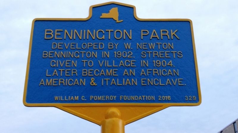
1. Bennington Park Marker
Erected 2016 by The William G. Pomeroy Foundation. (Marker Number 329.)
Topics and series. This historical marker is listed in these topic lists: African Americans • Settlements & Settlers. In addition, it is included in the William G. Pomeroy Foundation series list.
Location. 40° 39.276′ N, 73° 34.481′ W. Marker is in Freeport, New York, in Nassau County. It is on East Merrick Road. Touch for map. Marker is at or near this postal address: 129 E Merrick Rd, Freeport NY 11520, United States of America. Touch for directions.

Regionally, this marker is in the New York City Metropolitan Area and on Long Island. It is also in the American Northeast, in the Mid-Atlantic, and on the Eastern Seaboard. Globally, it is in the North Atlantic Region, North America, the Western Hemisphere, the Western World, and the Anglosphere. Historically, it finds itself in what was once New Netherland and also one of the original Thirteen
this page online
Other nearby markers. At least 8 other markers are within walking distance of this marker: Grist and Saw Mill (approx. 0.2 miles away); First Fire Co (approx. 0.4 miles away); Freeport Bank (approx. 0.4 miles away); B'nai Israel Synagogue (approx. half a mile away); Trubia Rifle (approx. half a mile away); The First Public School in Freeport (approx. half a mile away); Freeport Historical Museum (approx. half a mile away); Freeport Methodist Episcopal Church (approx. half a mile away). Touch for a list and map of all markers in Freeport.
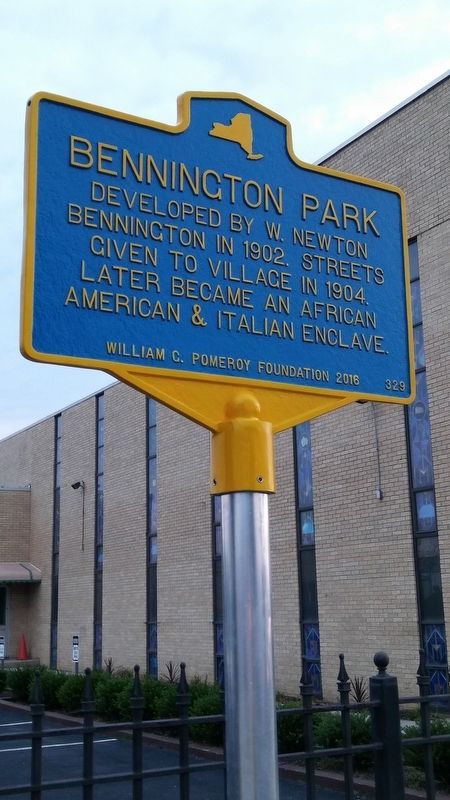
2. Bennington Park Marker
Credits. This page was last revised on December 31, 2018. It was originally submitted on December 31, 2018, by Deryn Pomeroy of Syracuse, New York. This page has been viewed 662 times since then and 90 times this year. Photos: 1, 2. submitted on December 31, 2018, by Deryn Pomeroy of Syracuse, New York. • Bill Pfingsten was the editor who published this page.
