Laurel in Prince George's County, Maryland — The American Northeast (Mid-Atlantic)
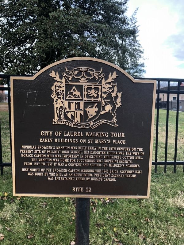
Early Buildings on St. Mary's Place
City of Laurel Walking Tour
— Site 12 —

Photographed By Devry Becker Jones (CC0), January 1, 2019
1. Early Buildings on St. Mary's Place Marker
Just north of the Snowden-Capron Mansion, the 1840 Brick Assembly Hall was built by the mill as an auditorium. President Zachary Taylor was entertained there by Horace Capron.
Erected by City of Laurel. (Marker Number 12.)
Topics and series. This historical marker is listed in these topic lists: Churches & Religion • Education • Notable Buildings • Women. In addition, it is included in the Former U.S. Presidents: #12 Zachary Taylor series list. A significant historical year for this entry is 1917.
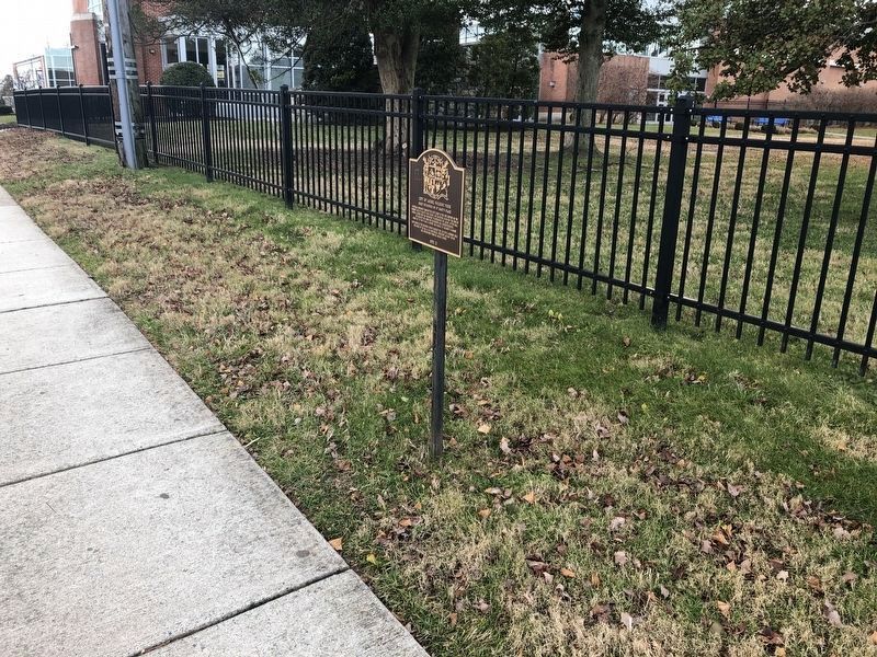
Location. 39° 6.51′ N, 76° 51.377′ W. Marker is in Laurel, Maryland, in Prince George's County. Marker is on Saint Marys Place south of Main Street, on the left when traveling north. Touch for map. Marker is at or near this postal address: 114 Saint Marys Place, Laurel MD 20707, United States of America. Touch for directions.
Other nearby markers. At least 8 other markers are within walking distance of this marker. Methodism in Laurel (about 500 feet away, measured in a direct line); Laurel Factory: A Mill Town (about 500 feet away); Laurel Factory: Prince Georges County's Only Mill Town (about 500 feet away); Desegregation of Laurel Pool (about 600 feet away); Laurel Cotton Mill and Dam (about 600 feet away); Site of The Old Stone Methodist Church (about 700 feet away); Casula Point (about 800 feet away); Laurel: A Factory Town Bridging Two Counties (about 800 feet away). Touch for a list and map of all markers in Laurel.

Photographed By Devry Becker Jones (CC0), January 1, 2019
2. Early Buildings on St. Mary's Place Marker
Credits. This page was last revised on June 24, 2020. It was originally submitted on January 1, 2019, by Devry Becker Jones of Washington, District of Columbia. This page has been viewed 161 times since then and 28 times this year. Photos: 1, 2. submitted on January 1, 2019, by Devry Becker Jones of Washington, District of Columbia. • Andrew Ruppenstein was the editor who published this page.