Boerne in Kendall County, Texas — The American South (West South Central)
St. Helena's Episcopal Church
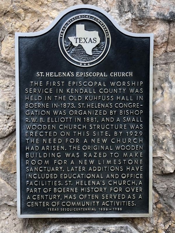
Photographed by Brian Anderson, December 30, 2018
1. St. Helena's Episcopal Church Marker
Erected 1986 by Texas Historical Commission. (Marker Number 4440.)
Topics. This historical marker is listed in this topic list: Religion & Religious Structures. A significant historical year for this entry is 1881.
Location. 29° 47.82′ N, 98° 44.024′ W. Marker is in Boerne, Texas, in Kendall County. It is at the intersection of North Main Street (Business U.S. 87) and Rock Street, on the right when traveling south on North Main Street. Touch for map. Marker is at or near this postal address: 410 North Main Street, Boerne TX 78006, United
this page online

Regionally, this marker is in the Hill Country and in the San Antonio Metropolitan Area. Globally, it is in North America, a Gulf of Mexico state, the Western Hemisphere, the Western World, and the Anglosphere. Historically, it finds itself in what was once New Spain, the Republic of Texas, and one of the Confederate States of America.
Other nearby markers. At least 8 other markers are within walking distance of this marker: What Was Here Before Boerne City Hall? (about 300 feet away, measured in a direct line); Beseler House (about 400 feet away); One-Time Hill Country Health Capital (about 500 feet away); Did Indians Ever Live Here? (about 600 feet away); History of Kendall County (approx. 0.2 miles away); Local Groundwater (approx. 0.2 miles away); History of Boerne (approx. 0.2 miles away); Wells and Windmills (approx. 0.2 miles away). Touch for a list and map of all markers in Boerne.
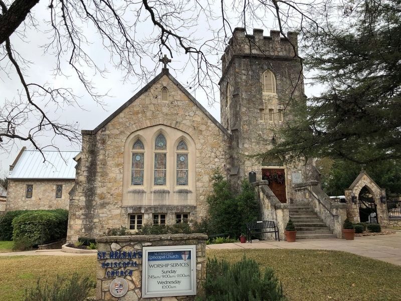
Photographed by Brian Anderson, December 30, 2018
2. St. Helena's Episcopal Church
Credits. This page was last revised on January 2, 2019. It was originally submitted on January 2, 2019, by Brian Anderson of New Albany, Ohio. This page has been viewed 593 times since then and 34 times this year. Photos: 1, 2. submitted on January 2, 2019, by Brian Anderson of New Albany, Ohio.
