Near East Side in San Antonio in Bexar County, Texas — The American South (West South Central)
The Battle of the Salado
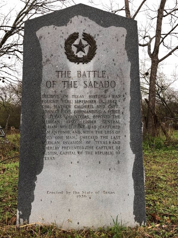
Photographed by Brian Anderson, December 30, 2018
1. Battle of the Salado Marker
Erected 1936 by the State of Texas. (Marker Number 335.)
Topics and series. This historical marker is listed in this topic list: War, Texas Independence. In addition, it is included in the Texas 1936 Centennial Markers and Monuments series list. A significant historical date for this entry is September 18, 1842.
Location. 29° 29.282′ N, 98° 25.073′ W. Marker is in San Antonio, Texas, in Bexar County. It is in the Near East Side. It is on Holbrook Road, on the left when traveling south. Touch for map. Marker is at or near this postal address: 1006 Holbrook Road, San Antonio TX 78218, United States of America. Touch for directions.

Regionally, this marker is in South Texas. It is also in the American South. Globally, it is in North America, a Gulf
this page online
Other nearby markers. At least 8 other markers are within walking distance of this marker: Navy Seabees (approx. 0.8 miles away); Americal Division, 23rd Infantry Division (approx. 0.8 miles away); The Dawson Massacre (approx. 0.8 miles away); Dawson Massacre Memorial (approx. 0.8 miles away); Airmen of the United States Air Force (approx. 0.9 miles away); National Sojourners, Inc. and Alamo Camp Heroes of ’76 (approx. 0.9 miles away); All Airborne Forces (approx. 0.9 miles away); Memorial Services Detachment Memorial (approx. 0.9 miles away). Touch for a list and map of all markers in San Antonio.
Also see . . . Salado Creek, Battle of - The Handbook of Texas Online. Texas State Historical Association (TSHA) (Submitted on January 2, 2019, by Brian Anderson of New Albany, Ohio.)
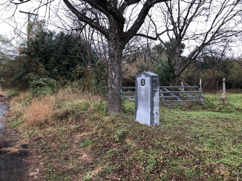
Photographed by Brian Anderson, December 30, 2018
2. The Battle of the Salado Marker

Photographed by Jeff Leichsenring, May 17, 2026
3. The Battle of the Salado Marker
Credits. This page was last revised on May 20, 2026. It was originally submitted on January 2, 2019, by Brian Anderson of New Albany, Ohio. This page has been viewed 4,188 times since then and 391 times this year. Photos: 1, 2. submitted on January 2, 2019, by Brian Anderson of New Albany, Ohio. 3. submitted on May 19, 2026, by Jeff Leichsenring of Garland, Texas.
